10 October 2026
Mostly cloudy with isolated showers developing in the afternoon. Light winds.
Loading outdoor place details…
Whanganui National Park
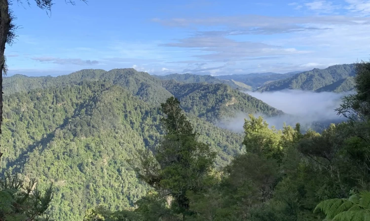
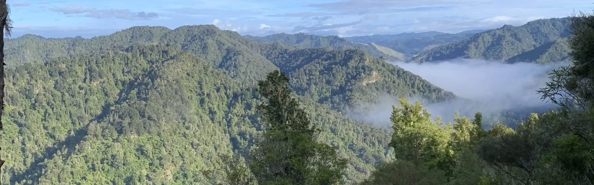
The Atene Skyline Track has spectacular views and a campsite for trampers wanting to stay the night.
Distance
13.1 km
Walking time
6 - 8 hr one way
Difficulty
Advanced
Dogs
Not allowed
Wheelchair access
Not marked friendly
Current status
Weather outlook
Issued 10 Oct 2026, 4:55 pm
10 October 2026
Mostly cloudy with isolated showers developing in the afternoon. Light winds.
11 October 2026
Showers, possibly heavy, clearing to fine spells in the afternoon. Clouding over in the evening with drizzle on the ranges. Northwesterlies for a time in the morning and afternoon.
12 October 2026
Occasional rain clearing to fine in the morning. Northwesterlies.
13 October 2026
Mostly cloudy with isolated showers, becoming widespread for a time in the afternoon. Northwesterlies.
14 October 2026
Mostly cloudy with isolated showers, turning to rain in the evening. Northwesterlies.
Regional guidance only; elevation and terrain can produce different conditions.
Explore the area
Explore the track route and surrounding area before you set out.
Time required : 6 - 8 hr Spectacular views from vantage points along the track include the cut-off meander, the Whanganui River, Mt Ruapehu, Mt Taranaki/Egmont, the Tasman Sea, and the Whanganui River's tributary valleys. Beginning at the up-river end, the track climbs steeply from the River Road to a height of 260 m through fine lowland forest. Following an old, gently graded roadline for approximately 3 km the track follows the ridgeline to a clearing which marks the track's halfway point. A campsite with drinking water, a shelter and a toilet is available here. Shortly beyond this point is the Taumata Trig, the highest point of the track, at 572 m. The track then winds around the edge of sandstone bluffs to reach Taupiri Trig before descending steeply back to the River Road. The focus throughout the walk is Puketapu hill. Many hundreds of years ago the hill stood at the end of a long, narrow-necked peninsula. The river once flowed in an almost complete circle around Puketapu but after years of erosion the river broke through the neck, forcing a more direct route to the sea and cutting off the meander.
Weather conditions – track users are urged to observe the weather conditions and seek advice as wet, slippery conditions may be experienced at times, particularly during winter and early spring. Communications – this area is remote with no cell phone coverage. It is recommended that you carry an emergency alert device (e.g. PLB/Spot tracker). Dropoffs – there are multiple dropoffs on this track. Care should be taken while passing these. Windfalls – there may be windfalls on the track after weather events. Care should be taken while going around the fallen trees. Water – during dry periods, extra water should be carried as the shelter water may be dry or stagnant. Treat or boil all water before drinking. Wasps – wasps are a known hazard and are particularly common from January until May. Carry antihistamine if you are allergic to their stings. Fires – fires are not permitted in Whanganui National Park.
Atene Skyline Campsite is a free campsite. It has a simple shelter for cooking, a toilet and a rainwater tank. Feedback suggests that the water doesn’t taste great, and may dry out in summer, so bring your own water for the trip.
The two entrances to this almost circular track begin on the Whanganui River Road, 36 km from Whanganui. Both entrances to the track are less than 2 km apart. Use this location on Google Maps to find your way to the Northern Entrance. Use this location on Google Maps to find your way to the Southern Entrance.
We encourage you to continue gaining the skills and knowledge required for a safe trip. The NZ Mountain Safety Council has lots of free resources and information you can use. These can be accessed via www.mountainsafety.org.nz . We recommend trying these online learning tools: Trip Planning Tramping / field Skills Basic Navigation River Safety Additionally, check out the range of helpful videos available from the NZ Mountain Safety Council YouTube channel
No dogs.
Track information, access and weather can change. Confirm current alerts and land-manager information close to departure, tell someone your plans, and carry equipment appropriate for the route and conditions.