10 October 2026
Mostly cloudy with isolated showers developing in the afternoon. Light winds.
Loading outdoor place details…
Hunterville area
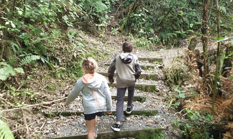
An easy walk through a podocarp and broadleaf forest remnant with impressive specimens of rimu, totara and kahikatea. It's a great walk for kids.
Distance
1.4 km
Walking time
1 hr loop
Difficulty
Easy
Dogs
Not allowed
Wheelchair access
Not marked friendly
Current status
No active alerts found. Conditions can still change, so check again before leaving.
Weather outlook
Issued 10 Oct 2026, 4:55 pm
10 October 2026
Mostly cloudy with isolated showers developing in the afternoon. Light winds.
11 October 2026
Showers, possibly heavy, clearing to fine spells in the afternoon. Clouding over in the evening with drizzle on the ranges. Northwesterlies for a time in the morning and afternoon.
12 October 2026
Occasional rain clearing to fine in the morning. Northwesterlies.
13 October 2026
Mostly cloudy with isolated showers, becoming widespread for a time in the afternoon. Northwesterlies.
14 October 2026
Mostly cloudy with isolated showers, turning to rain in the evening. Northwesterlies.
Regional guidance only; elevation and terrain can produce different conditions.
Explore the area
Explore the track route and surrounding area before you set out.
Track description You may be lucky enough to have this walk to yourself, as it’s a less popular option. However it showcases some spectacular native bush. You’ll get to see different podocarp triees, i.e. rimu, tōtara, kahikitea. The track has a few steps up, but it’s suitable for children and those with less fitness. It’s a short trail with less than 50m of elevation change. The track starts along one direction but there are two loops within it, shaped like a figure 8. It’s a good chance to stretch the legs if travelling a long way on State Highway 1. The track can be overgrown, so take care with your footing. It can be boggy too, so consider your footwear choice. The reserve is named after a former MP and conservationist of the region who gifted the reserve to the public. Getting there The track is located just to the west of State Highway 1 between Bulls and Hunterville. Look out of Aldworth Rd. The track starts on the right. There’s a carpark and toilet facilities at the track start. It’s signposted by a locked gate. Use this location in Google Maps to find your way there Helpful resources Find tips, guides and how-to videos to help you prepare for your walk at mountainsafety.org.nz
No dogs.
Track information, access and weather can change. Confirm current alerts and land-manager information close to departure, tell someone your plans, and carry equipment appropriate for the route and conditions.