09 October 2026
Mainly fine, apart from patches of morning fog. The chance of an afternoon shower. Light winds, northeasterlies about the east coast.
Loading outdoor place details…
Catlins coastal area
An attractive, forest-lined river walk of that follows the Catlins River.
Distance
12 km
Walking time
5-6 hr one way
Difficulty
Advanced
Dogs
Allowed — check local rules
Wheelchair access
Not marked friendly
Current status
No active alerts found. Conditions can still change, so check again before leaving.
Weather outlook
Issued 8 Oct 2026, 11:01 pm
09 October 2026
Mainly fine, apart from patches of morning fog. The chance of an afternoon shower. Light winds, northeasterlies about the east coast.
10 October 2026
Fine apart from isolated showers. Northeasterlies developing in the morning.
11 October 2026
Fine, but becoming mostly cloudy with isolated showers in the evening. Northerlies, turning westerly in the morning.
12 October 2026
Partly cloudy. Light winds.
13 October 2026
Rain developing. Northerlies, dying out.
Regional guidance only; elevation and terrain can produce different conditions.
Explore the area
Explore the track route and surrounding area before you set out.
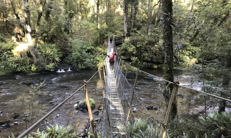
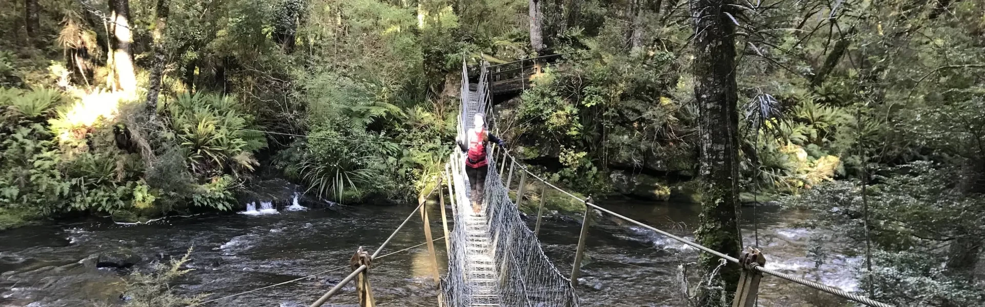
The track starts at Tawanui campsite. The stunning forest track follows the Catlins River until it meets Chloris Pass Road (The Wisp). The continuously undulating, sometimes narrow track is slow going but offers great views of the river, waterfalls, rapids, swing bridges and forestry plantations. Return via easy walking on forestry roads: Chloris Pass Road, Rocky Knob Road - with the option to ascend to the Rocky Knoll Track lookout on the Rata Range - and finally Shaw Road back to the campsite.
There are toilets at the start and finish of the Catlins River track. There are many access points along the forestry roads as an option for doing shorter walks. Obstacles such as tree roots, fallen trees, steps, and some steep and slippery sections may be dangerous in winter or during wet weather.
Tawanui Campsite is a standard campsite in the Coastal Otago area. The road to get there is suitable for campervans and caravans.
From Balclutha, head southwest on the Owaka Highway. At Owaka, turn right onto Saunders St, which becomes Owaka Valley Rd. When you reach a T junction, take the left onto Morris Saddle Rd and then right onto Catlins Rd. Use this location in Google Maps to find your way there.
We encourage you to continue gaining the skills and knowledge required for a safe trip. The NZ Mountain Safety Council has lots of free resources and information you can use. These can be accessed via www.mountainsafety.org.nz . We recommend trying these online learning tools: Trip Planning Tramping / field Skills Basic Navigation River Safety Additionally, check out the range of helpful videos available from the NZ Mountain Safety Council YouTube channel .
Dogs allowed. Keep dog under control at all times.
Track information, access and weather can change. Confirm current alerts and land-manager information close to departure, tell someone your plans, and carry equipment appropriate for the route and conditions.