08 October 2026
Mostly cloudy, with a few spots of morning and evening drizzle. Northeasterlies.
Loading outdoor place details…
Dunedin area
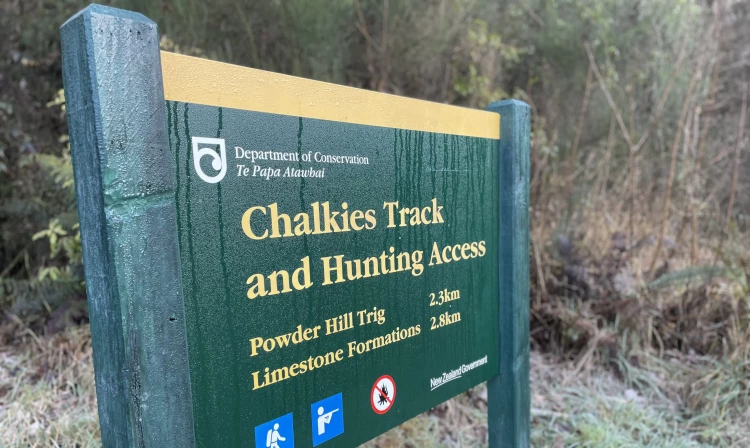
See across Silverpeaks and Taieri Plains. Cross Silver Stream and Leishmans Creek and make the steep 400 m climb to the top of Powder Hill for a challenging tramp with spectacular views.
Distance
6 km
Walking time
3 hr 30 min
Difficulty
Advanced
Dogs
Allowed — check local rules
Wheelchair access
Not marked friendly
Current status
No active alerts found. Conditions can still change, so check again before leaving.
Weather outlook
Issued 8 Oct 2026, 11:31 am
08 October 2026
Mostly cloudy, with a few spots of morning and evening drizzle. Northeasterlies.
09 October 2026
Partly cloudy. Northeasterlies.
10 October 2026
Partly cloudy. Northwesterlies, turning northeasterly before dawn.
11 October 2026
Mainly fine, but isolated showers in the afternoon. Light winds.
12 October 2026
Fine. Light winds.
Regional guidance only; elevation and terrain can produce different conditions.
Explore the area
Explore the track route and surrounding area before you set out.
This description outlines a clockwise circuit of the track, though you can start in either direction. Note that the loop includes a 900 m stretch along Silverstream Valley Road, shared with vehicles, regardless of your starting point. The track initially follows Leishmans Creek with a gradual uphill gradient before crossing the creek and climbing steeply. There are no bridges, so be prepared to get wet feet when crossing Leishmans Creek and Silverstream. Shortly after the creek crossing, a steep section with a rope provides assistance if the track is slippery. The ascent continues through kanuka and broadleaf forest. As you climb higher, the gradient eases, offering stunning views of the Silverpeaks and Taieri Plains. Upon reaching the summit of Powder Hill, follow the poled track through vegetation including manuka, flax, inaka, wild spaniard, and snow tussock to the trig at 525 m. You can either return the way you came or continue north to complete the loop. The loop takes you past quartz limestone cliffs, a unique feature of Dunedin's geology. The track then descends to Silverstream Valley Road. Upon reaching the road, turn right and follow the 900 m gravel stretch, crossing the Silverstream before arriving back at the car park.
The track is accessed via Silverstream Valley Road, approximately 20 minutes by car from Dunedin City. There is no public transport to this track. Car Parking There is a formal car park at the end of the Silverstream Valley Road managed by the Dunedin City Council. There is also a small layby area 900 m before the formal car park if you wish to park at the southern entrance to the track. Use this location on Google Maps to help find your way there.
We encourage you to continue gaining the skills and knowledge required for a safe trip. The NZ Mountain Safety Council has lots of free resources and information you can use. These can be accessed via www.mountainsafety.org.nz . We recommend trying these online learning tools: Trip Planning Tramping / field Skills Basic Navigation River Safety Additionally, check out the range of helpful videos available from the NZ Mountain Safety Council YouTube channel
Dogs with a DOC permit for recreational hunting or management purposes only.
Track information, access and weather can change. Confirm current alerts and land-manager information close to departure, tell someone your plans, and carry equipment appropriate for the route and conditions.