10 October 2026
Scattered showers, possibly heavy and thundery with hail, easing this evening.
Loading outdoor place details…
Korowai/Torlesse Tussocklands Park
This track climbs to the summit of Foggy Peak in Korowai Tussocklands Park, Canterbury Foothills.
Distance
4.9 km
Walking time
4 hrs
Difficulty
Advanced
Dogs
Allowed — check local rules
Wheelchair access
Not marked friendly
Current status
No active alerts found. Conditions can still change, so check again before leaving.
Weather outlook
Issued 10 Oct 2026, 9:23 pm
10 October 2026
Scattered showers, possibly heavy and thundery with hail, easing this evening.
11 October 2026
Showers about the Divide, clearing in the evening, otherwise fine.
12 October 2026
Fine.
13 October 2026
Partly cloudy with isolated showers.
14 October 2026
Rain, with heavy falls.
Regional guidance only; elevation and terrain can produce different conditions.
Explore the area
Explore the track route and surrounding area before you set out.
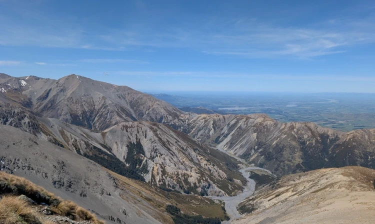
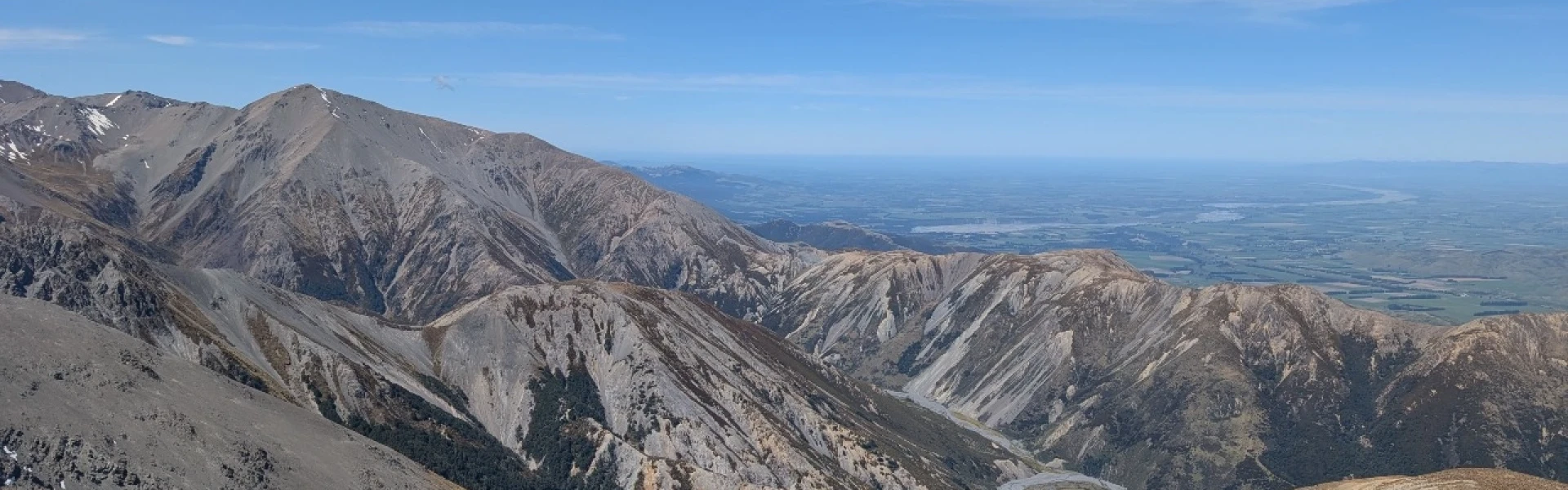
The track begins at Porters Pass on State Highway 73. From the car park, a steep and unmarked route climbs directly up the ridge towards Foggy Peak. The lower section is through tussock, with only a few orange markers at the start. Beyond this, the route is unmarked and follows a rough line through rocky terrain and loose scree. The climb is steady and unrelenting, with some difficult sections where the scree can be unstable underfoot. Occasional cairns mark the way, but good navigation skills are needed. The summit of Foggy Peak (1741 m) is broad and exposed, with wide views across Lake Lyndon, Castle Hill Basin and the Torlesse Range. On a clear day you can also see out to the Craigieburn Range and across the Canterbury Plains. This is a demanding day walk best suited to experienced trampers. The track is steep, has no formed surface and is exposed to alpine weather. Allow around 2–2.5 hours to reach the summit and 1–1.5 hours to return.
This track is unmarked and suitable for fit, experienced and well-equipped people. Winter snow and ice could make these routes difficult and dangerous. NZTopo50 map BW21 (Springfield) covers this area.
There isn't a sign indicating the route to Foggy Peak, but look for a gravelled space to park. Use this location in Google Maps to find your way there.
We encourage you to continue gaining the skills and knowledge required for a safe trip. The NZ Mountain Safety Council has lots of free resources and information you can use. These can be accessed via www.mountainsafety.org.nz . Level up in your outdoor knowledge with these interactive online learning tools: Trip Planning Tramping / field Skills Basic Navigation River Safety Additionally, check out the range of helpful videos available from the NZ Mountain Safety Council YouTube channel .
Dogs allowed. Keep dog under control at all times.
Track information, access and weather can change. Confirm current alerts and land-manager information close to departure, tell someone your plans, and carry equipment appropriate for the route and conditions.