10 October 2026
Partly cloudy, then a few showers from late afternoon, possibly heavy and thundery east of Alexandra. Northerlies developing early afternoon.
Loading outdoor place details…
Rock and Pillar Conservation Area
A steady climb to Big Hut, 1350 m above sea level.
Distance
5 km
Walking time
2 hr 30 min – 3 hr one way
Difficulty
Advanced
Dogs
Not allowed
Wheelchair access
Not marked friendly
Current status
Weather outlook
Issued 10 Oct 2026, 4:55 pm
10 October 2026
Partly cloudy, then a few showers from late afternoon, possibly heavy and thundery east of Alexandra. Northerlies developing early afternoon.
11 October 2026
Mainly fine but the chance of a showers from late afternoon east of Alexandra. Northwesterlies for a time late morning and afternoon.
12 October 2026
Fine. Northwesterlies developing in the morning.
13 October 2026
A few showers. Northwesterlies, dying out in the afternoon.
14 October 2026
Showers, some heavy. Snow lowering to 900 metres in the afternoon. Southwesterlies developing in the afternoon.
Regional guidance only; elevation and terrain can produce different conditions.
Explore the area
Explore the track route and surrounding area before you set out.
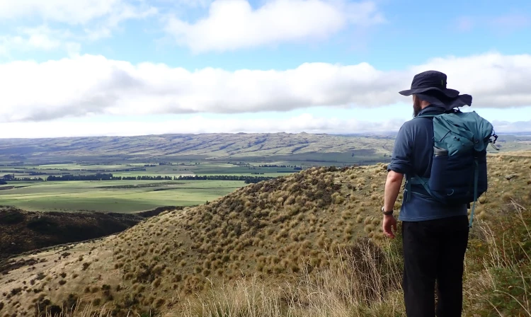
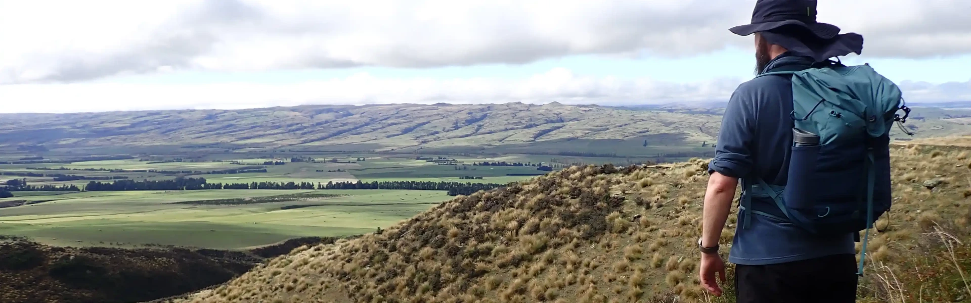
The track begins from the carpark, which is just off the main road, behind a rustic gate called “Glencreag”. After a short walk over private land, you'll reach the conservation land boundary and from there, it’s straight up – 1000m, or about 2.5 hours. There are 80 markers along the track, which may help you judge how far you have to go if you have the tenacity to count them along the way. The track ends at Big Hut which is owned and run by the Rock and Pillar Hut Trust. The hut must be booked in advance.
The Rock and Pillar Conservation Area is very exposed and subject to extreme temperatures – hot and dry in summer, freezing cold and covered in snow in winter. In winter you will need crampons due to the icy conditions along with suitable winter gear and experience. Navigation may be challenging as on the tops fog can roll in within seconds, causing disorientation.
The car park is signposted from SH87, about 5 km north of Middlemarch, near the junction with McKinnon Road. Use this location on Google Maps to help find your way there.
No dogs.
Track information, access and weather can change. Confirm current alerts and land-manager information close to departure, tell someone your plans, and carry equipment appropriate for the route and conditions.