08 October 2026
Mostly cloudy with patchy drizzle, clearing in the morning as fine breaks increase. Southeasterlies turning northeast around midday.
Loading outdoor place details…
Dunedin area
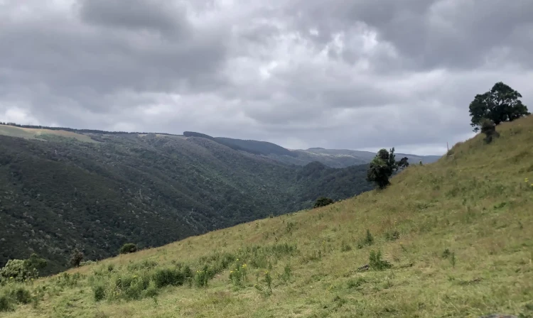
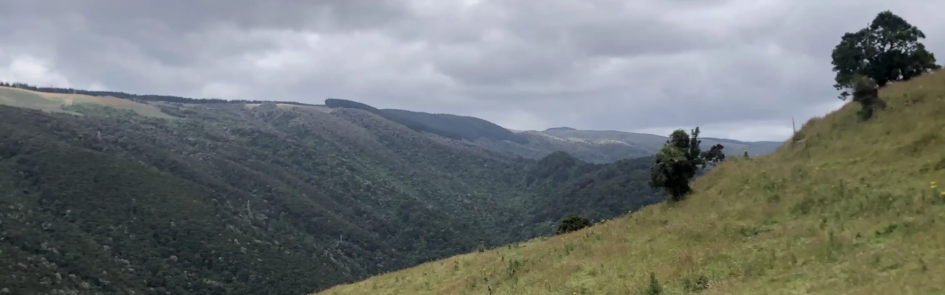
Walk or mountain bike the Government Track which traverses the slopes of the beech-and mānuka-forested Waipori Valley.
Distance
17 km
Walking time
4 hr 30 min
Difficulty
Advanced
Dogs
Not allowed
Wheelchair access
Not marked friendly
Current status
Weather outlook
Issued 8 Oct 2026, 3:45 am
08 October 2026
Mostly cloudy with patchy drizzle, clearing in the morning as fine breaks increase. Southeasterlies turning northeast around midday.
09 October 2026
Fine. Easterlies developing for a time in the afternoon.
10 October 2026
Fine. Northeasterlies developing in the morning.
11 October 2026
A few showers. Light winds.
12 October 2026
Partly cloudy. Light winds.
Regional guidance only; elevation and terrain can produce different conditions.
Explore the area
Explore the track route and surrounding area before you set out.
The Government Track winds through the beech- and mānuka-forested slopes of the Waipori Valley, south of Dunedin, and was originally built in the 1860s to provide access to the central goldfields. The track begins with a short, steep push up a switchback section before sidling along the valley flank and climbing steadily to the top. Along the way, there are a few creek crossings and large trees to navigate, so mountain bikers should be prepared to carry their bikes in some sections. The track can be muddy at times, and stinging nettles (ongaonga) are present. Windfall (trees) are blocking the track in some places which require climbing over. Return the way you came. For those on bikes, the steep climb to the top is well rewarded by a flowing downhill return.
The track entrance is 5 km down Waipori Falls Rd on the right; parking is 100 m further on the left. Use this location on Google Maps to help find your way there.
We encourage you to continue gaining the skills and knowledge required for a safe trip. The NZ Mountain Safety Council has lots of free resources and information you can use. These can be accessed via www.mountainsafety.org.nz . Level up in your outdoor knowledge with these interactive online learning tools: Trip Planning Tramping / field Skills Basic Navigation River Safety Additionally, check out the range of helpful videos available from the NZ Mountain Safety Council YouTube channel .
No dogs.
Track information, access and weather can change. Confirm current alerts and land-manager information close to departure, tell someone your plans, and carry equipment appropriate for the route and conditions.