11 October 2026
Mainly fine, the odd shower from late afternoon. Southwesterlies for a time afternoon and early evening.
Loading outdoor place details…
Dunedin area
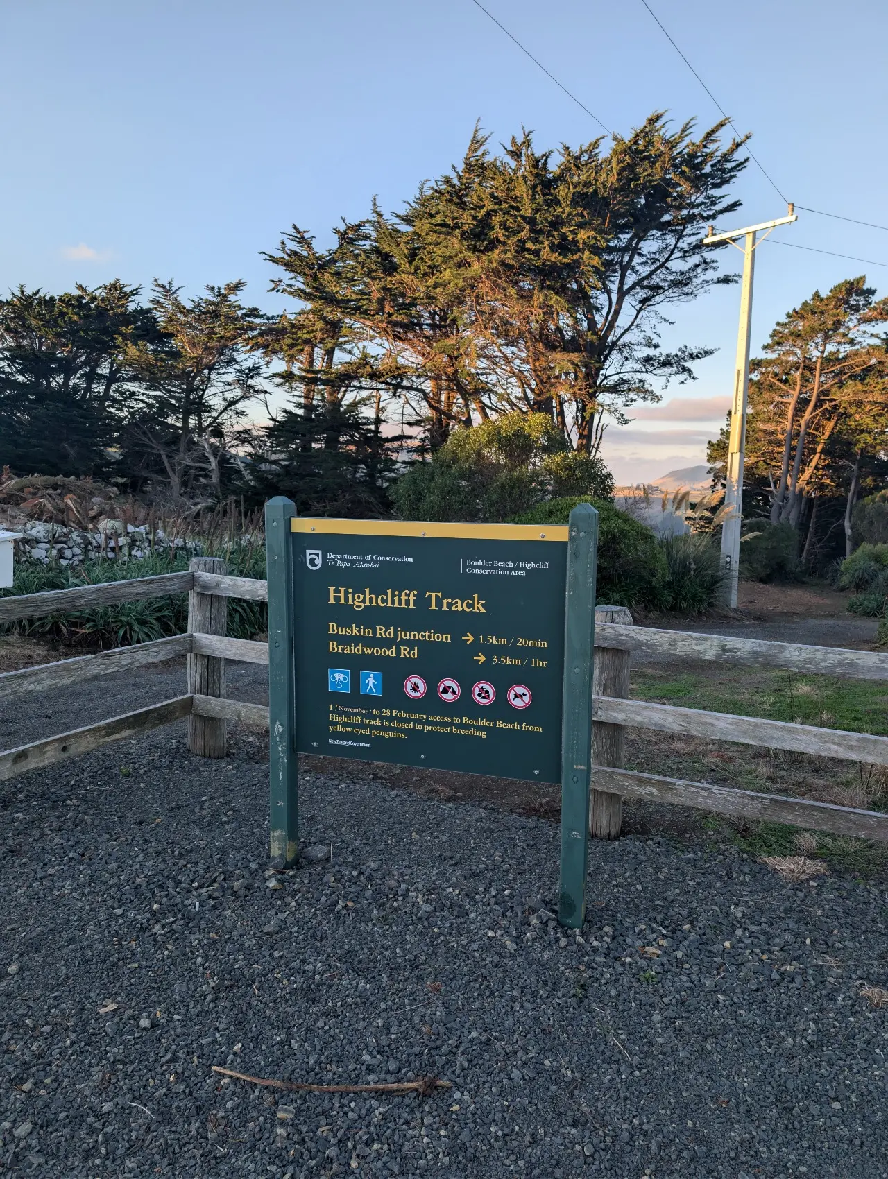
This track provides stunning views of the Otago coastline along the length of the Otago Peninsula.
Distance
4 km
Walking time
1 hr 20 min return
Difficulty
Advanced
Dogs
Not allowed
Wheelchair access
Not marked friendly
Current status
Weather outlook
Issued 11 Oct 2026, 4:35 pm
11 October 2026
Mainly fine, the odd shower from late afternoon. Southwesterlies for a time afternoon and early evening.
12 October 2026
Morning cloud and possible fog, then fine. Low cloud returning about the coast at night affecting the Otago Peninsula. Northerlies, dying out for a time in the afternoon and evening.
13 October 2026
Partly cloudy, with a period of rain in the afternoon and evening. Northwesterlies, turning southerly in the evening.
14 October 2026
Occasional rain, persistent with heavy falls in the morning. Northeasterlies, dying out in the morning.
15 October 2026
Showers, some heavy, easing in the afternoon. Snow lowering to 600 metres in the morning. Southwesterlies.
Regional guidance only; elevation and terrain can produce different conditions.
Explore the area
Explore the track route and surrounding area before you set out.
Stone walls, towering macrocarpa trees, and regenerating farmland give this walk plenty of character and offer a glimpse into what farming on the Otago Peninsula was like in the late 1800s and early 1900s. The walk begins at a small car park on McMeeking Road. From there, follow the gravel road downhill before it becomes a grassy track alongside a traditional stacked stone wall. The first 400 metres is an easy, mostly flat stroll, leading you to the coast where you'll be rewarded with stunning views of the Otago coastline. From here, the track becomes steeper and more rugged as it winds down to sea level, where it connects with Braidwood Track, which is managed by the Dunedin City Council. If you're keen to explore further, you can extend your walk by linking up with Buskin Track and Paradise Track, these tracks are also managed by Dunedin City Council and you can find more information about them here .
Take extra care on the narrow access road Karetai Road is narrow with tight corners. There is limited room to pass other vehicles travelling in the opposite direction. Take care and drive at low speed while navigating the narrow road. Be prepared for known track hazards Take care around cliff areas as they may be slippery and unstable after heavy rain. This track involves a creek crossing. Ensure you are prepared with appropriate footwear. Be careful of the ongaonga (stinging nettle) that grows in places along the track. Tsunami risk This track is susceptible to tsunami. If a siren sounds or a tsunami alert is received move to higher ground and stay away from the coast until the risk or alert period is over. Keep safe around the macrocarpa trees Avoid the macrocarpa stands during high winds as branches may fall out of trees. There is no toilet on site The closest public toilet is at Bayfield Park in Andersons Bay.
From Dunedin, drive along Highcliff Road until you reach Karetai Road. Turn down Karetai Road and then turn left down McMeeking Road. Follow McMeeking Road to the first closed gate where a small car park is located. Use this location on google maps to find your way.
We encourage you to continue gaining the skills and knowledge required for a safe trip. The NZ Mountain Safety Council has lots of free resources and information you can use. These can be accessed via www.mountainsafety.org.nz . We recommend trying these online learning tools: Trip Planning Tramping / field Skills Basic Navigation River Safety Additionally, check out the range of helpful videos available from the NZ Mountain Safety Council YouTube channel
No dogs.
Track information, access and weather can change. Confirm current alerts and land-manager information close to departure, tell someone your plans, and carry equipment appropriate for the route and conditions.