08 October 2026
Mostly cloudy, with a few spots of morning and evening drizzle. Northeasterlies.
Loading outdoor place details…
Dunedin area
This tramping track travels through the cloud forest above the Leith Saddle on Dunedin's Northern Motorway.
Distance
2.71 km
Walking time
3.5 hr
Difficulty
Easy, Advanced
Dogs
On-lead only
Wheelchair access
Not marked friendly
Current status
No active alerts found. Conditions can still change, so check again before leaving.
Weather outlook
Issued 8 Oct 2026, 11:31 am
08 October 2026
Mostly cloudy, with a few spots of morning and evening drizzle. Northeasterlies.
09 October 2026
Partly cloudy. Northeasterlies.
10 October 2026
Partly cloudy. Northwesterlies, turning northeasterly before dawn.
11 October 2026
Mainly fine, but isolated showers in the afternoon. Light winds.
12 October 2026
Fine. Light winds.
Regional guidance only; elevation and terrain can produce different conditions.
Explore the area
Explore the track route and surrounding area before you set out.
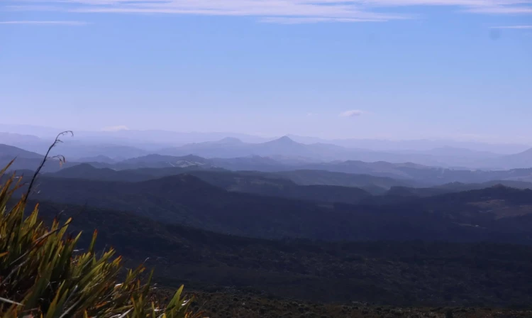
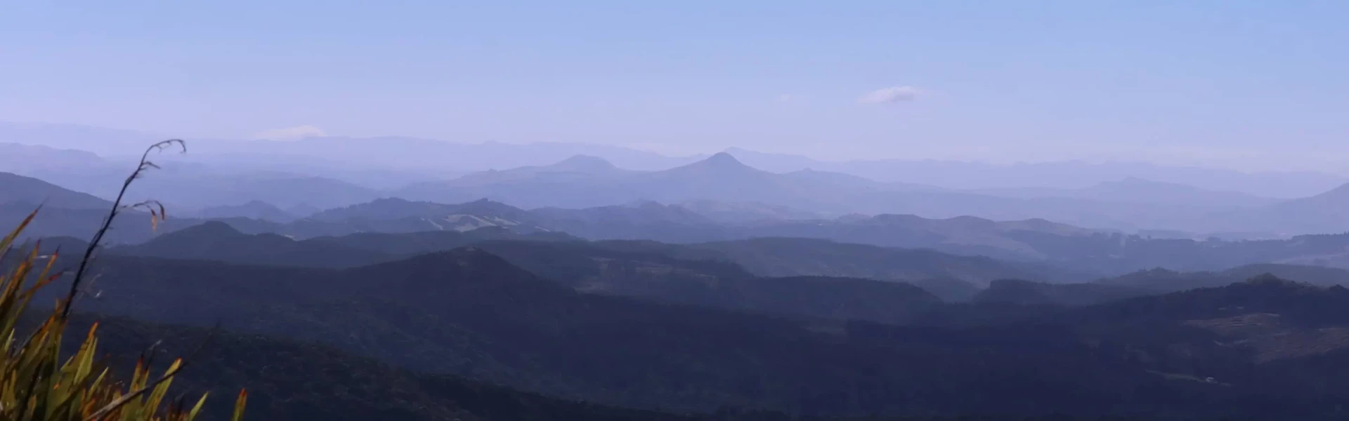
The track begins steeply on an extremely well-maintained track, but care is required as the wooden sidings are slippery. After about 30 minutes, you reach a viewing area with views across Dunedin City on one side, and down to Blueskin Bay on the other. After the viewing area, the track becomes more of a tramping track and is treacherous in winter or after rain. On a fine day though, the sights get better and better as you ascend, with views popping up of Mt Cargill, the Silverpeaks and Flagstaff. Take care in this area as the track is clay based and can be slippery. From about this point, the forest gives way to lower shrubs, which provide little shelter, but allow you to see the views. There is a rocky prominence at 666 metres above sea level, but the track formally ends further on at a Radio tower. From here you can link on to other tracks to Flagstaff, Whare Flat and the Silverpeaks.
There are no toilets or water facilities on this track. The track beyond the first lookout is unsuitable in winter. It gets icy, slippery, and very hazardous. During the other months it is still slippery, especially after heavy rain. Tramping boots are required to manage this technical footing. The weather can change very quickly at this altitude. Be suitably prepared. Take your phone with you as cell reception works along this track, although this can’t be guaranteed.
From Dunedin, follow the Northern Motorway up to the crest of the Leith Saddle. The car park is on the left, at the start of Waitati Valley Road. If you start going downhill, then you have gone too far. Use this location in Google Maps to find your way there.
We encourage you to continue gaining the skills and knowledge required for a safe trip. The NZ Mountain Safety Council has lots of free resources and information you can use. These can be accessed via www.mountainsafety.org.nz . We recommend trying these online learning tools: Trip Planning Tramping / field Skills Basic Navigation River Safety Additionally, check out the range of helpful videos available from the NZ Mountain Safety Council YouTube channel .
Dogs on a leash only.
Track information, access and weather can change. Confirm current alerts and land-manager information close to departure, tell someone your plans, and carry equipment appropriate for the route and conditions.