10 October 2026
Mostly cloudy. Showers about the Sounds, spreading to the inland ranges this morning, possibly heavy about the inland ranges from afternoon. Northeasterlies, strong at times about the Kaikoura Coast from afternoon.
Loading outdoor place details…
Marlborough
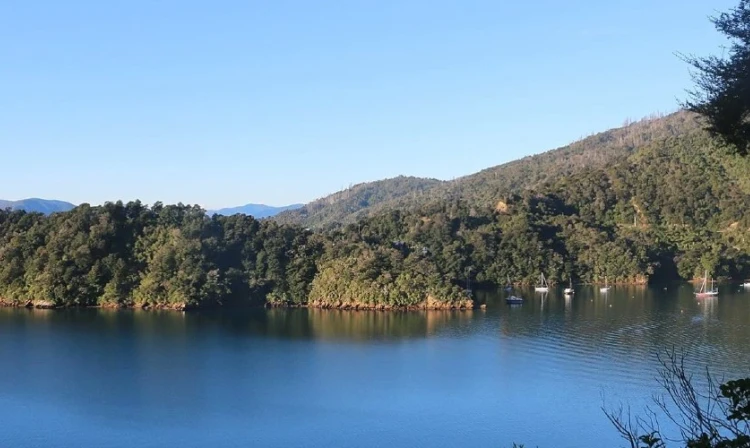
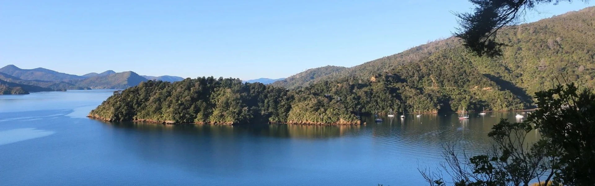
The link Pathway, a 42km walking and cycling trail, connects Havelock, Picton, Anakiwa and the end of the Queen Charlotte Track in Marlborough. Take in the impressive views of the Marlborough Sounds and native bush. Complete the track in one go or in sections.
Distance
42 km
Walking time
2 days
Difficulty
Easy
Dogs
Allowed — check local rules
Wheelchair access
Friendly
Current status
Weather outlook
Issued 10 Oct 2026, 10:55 am
10 October 2026
Mostly cloudy. Showers about the Sounds, spreading to the inland ranges this morning, possibly heavy about the inland ranges from afternoon. Northeasterlies, strong at times about the Kaikoura Coast from afternoon.
11 October 2026
Showers becoming isolated with longer fine breaks in the morning, but possibly heavy and thundery with hail about the Kaikoura Coast from afternoon. Northerlies, turning westerly in the afternoon.
12 October 2026
Fine. Northerlies developing in the morning.
13 October 2026
Mostly cloudy with isolated showers, clearing to fine in the afternoon. Northwesterlies developing in the morning.
14 October 2026
Mostly cloudy with isolated showers, turning to rain in the afternoon. Northwesterlies, dying out in the evening.
Regional guidance only; elevation and terrain can produce different conditions.
Explore the area
Explore the track route and surrounding area before you set out.
The Link Pathway is a 42-kilometre walking and mountain bike track that connects Havelock, Picton, Anakiwa and the Queen Charlotte Track in Marlborough. Construction of the trail began in 2005 after local residents wanted to see paths link local communities and the rediscovery of four sections of the historic bridle path between Picton and Havelock. European settlers and miners created the bridle path in the 1860s to take their horses between the two townships, including during the short-lived gold rush in Wakamarina. Much of the path was destroyed when Queen Charlotte Drive was built around 1920. The first section of the Link Pathway, in the Mahakipawa Arm near Havelock, was finished in 2006. At just under 1km long, it was built entirely by hand and inspired the idea of eventually linking Havelock and Picton. With construction driven by local community members and thousands of volunteer hours overseen by the charitable Link Pathway Trust, the trail progressed in stages over 15 years. The old bridle trail sections now form around 20% of the Link Pathway, which also incorporates an old stock route near Picton that once led to the town’s former freezing works. Travelling through lush native bush interspersed with beautiful sea views, the pathway takes in a remnant podocarp forest, a unique salt marsh, a mature beech forest, and an historic WWII lookout and signal station site. In 2021, the final link to Havelock, the Motuweka Havelock Boardwalk, was completed with arched bridges and views across the scenic Kaituna Estuary. The Link Pathway is a wide, well-graded track that can be completed in one day, or in sections.
Some sections are yet to be completed, including the Havelock Community Pathway and the Linkwater connection (see the below map for more information).
Link Pathway Facebook Picton-Havelock Link Pathway nears the finish line This track is part of the Herenga ā Nuku Aotearoa track database. Herenga ā Nuku has maps and advice about public access to the outdoors . We encourage you to continue gaining the skills and knowledge required for a safe trip. The NZ Mountain Safety Council has lots of free resources and information you can use. These can be accessed via www.mountainsafety.org.nz . We recommend trying these online learning tools: Trip Planning Tramping/field Skills Basic Navigation River Safety Additionally, check out the range of helpful videos available from the NZ Mountain Safety Council YouTube channel .
Track information, access and weather can change. Confirm current alerts and land-manager information close to departure, tell someone your plans, and carry equipment appropriate for the route and conditions.