11 October 2026
Showers, possibly heavy, clearing in the afternoon with increasing fine spells. Periods of rain developing west of Tauranga late evening. Northerlies, turning westerly in the afternoon.
Loading outdoor place details…
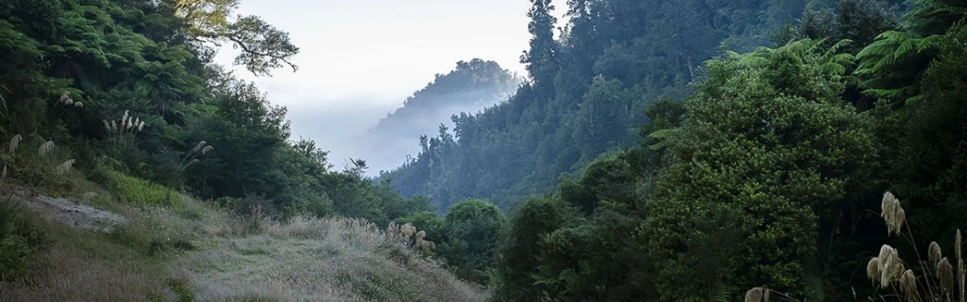
Whirinaki Te Pua-a-Tāne Conservation Park
The loop covers a range of track types including multiple river crossing. This makes it an ideal introduction to backcountry tramping.
Distance
34.3 km
Walking time
3 days
Difficulty
Advanced
Dogs
Allowed — check local rules
Wheelchair access
Not marked friendly
Current status
No active alerts found. Conditions can still change, so check again before leaving.
Weather outlook
Issued 10 Oct 2026, 11:01 pm
11 October 2026
Showers, possibly heavy, clearing in the afternoon with increasing fine spells. Periods of rain developing west of Tauranga late evening. Northerlies, turning westerly in the afternoon.
12 October 2026
A few showers. Northwesterlies developing for a time in the afternoon and evening.
13 October 2026
A few showers. Northwesterlies developing in the morning.
14 October 2026
A few showers. Northwesterlies developing in the morning.
15 October 2026
A few showers, some possibly heavy. Northwesterlies.
Regional guidance only; elevation and terrain can produce different conditions.
Explore the area
Explore the track route and surrounding area before you set out.
The Mangamate Loop Track is an ideal introduction to backcountry tramping. Day one is on a well formed track of a high standard. However, the next two days transition onto unformed tracks where you will be constantly crossing the Mangamate Stream. River-crossing skills are required. The mix of track types make this loop great for building backcountry tramping skills. Day 1: River Rd car park to Central Whirinaki Hut Time: 5 hr Distance: 16 km Begin at the River Rd carpark. After crossing Te Whaiti-Nui-a-Toi Canyon bridge, keep the Whirinaki River on your right side and head south. After 1 hr (3.5 km), cross the Mangamate Bridge (you’ll end up back here on day 3). Carry on past the Whirinaki Waterfall and up to Vern’s Campsite. With a shelter and toilet, this is a good place to stop for lunch. From Vern’s it's another 8 km to the first overnight stay at Central Whirinaki Hut. Day 2: Central Whirinaki Hut to Mangamate Hut Time: 3 hr Distance: 8.2 km From Central Whirinaki Hut carry on along the Whirinaki River for 45 min (2 km), till you reach Taumutu bridge. The track branches left onto the Taumutu Stream and after around 1 km branches left again onto the Kakanui Stream. From here the route is almost entirely in the stream. After about 1 hr 30 min, the track climbs sharply to Mangamate Hut, which is located high on a ridge. Day 3: Mangamate Hut to River Rd carpark Time: 4 hr Distance: 10.1 km The track travels steeply down from the hut where it now enters the Upper Mangamate Stream. From the hut it's 3 hr (6.6 km) down-stream to the Mangamate bridge. The track is in and out of the stream – expect 60+ stream crossings. At the Mangamate bridge the loop closes. With the Whirinaki River on your left, follow the track back to River Road car park.
River Crossing Skills Required: Day 2 & 3 of this tramp involve multiple river crossings; ensure the river levels are suitable before attempting. If you are unsure about crossing, return to the hut until the stream can be negotiated safely. Dogs: Only with a DOC permit. Contact the local DOC office for more information.
Central Whirinaki Hut The hut is a large 25 bunk hut with a few living area platforms and a large kitchen area with a good fire. It's tucked into a clearing of beech trees alongside the Whirinaki River. This hut doesn't have a constant supply of firewood, so it has reduced fees. Bookings not required - first come, first served Mangamate Hut The hut contains nine bunks, room for tents, a wood burning stove and a sink with running water outside at the end of the deck. Mangamate Hut is a great place to spend the night with plenty of birdlife on hand to keep you entertained. At night, glow worms can be spotted in the bank along the track leading to Mangamate Hut.
Whirinaki Te Pua-a-Tāne Conservation Park is 90 km from Rotorua, off Te Whaiti Rd, via SH38. Turn off SH5 onto SH38 near Maunga Kākaramea. At Te Whaiti , turn into Minginui Road, then into Old Te Whaiti Road (gravel) at Minginui Village. Take first left into River Road and follow the signs. It's around 10 min to River Road carpark. Use this location in Google Maps to find your way there.
We encourage you to continue gaining the skills and knowledge required for a safe trip. The NZ Mountain Safety Council has lots of free resources and information you can use. These can be accessed via www.mountainsafety.org.nz . We recommend trying these online learning tools: Trip Planning Tramping / field Skills Basic Navigation River Safety Additionally, check out the range of helpful videos available from the NZ Mountain Safety Council YouTube channel
Dogs with a DOC permit only. Contact closest DOC office to get a permit.
Track information, access and weather can change. Confirm current alerts and land-manager information close to departure, tell someone your plans, and carry equipment appropriate for the route and conditions.