09 October 2026
Mainly fine, apart from patches of morning fog. The chance of an afternoon shower. Light winds, northeasterlies about the east coast.
Loading outdoor place details…
Clutha District
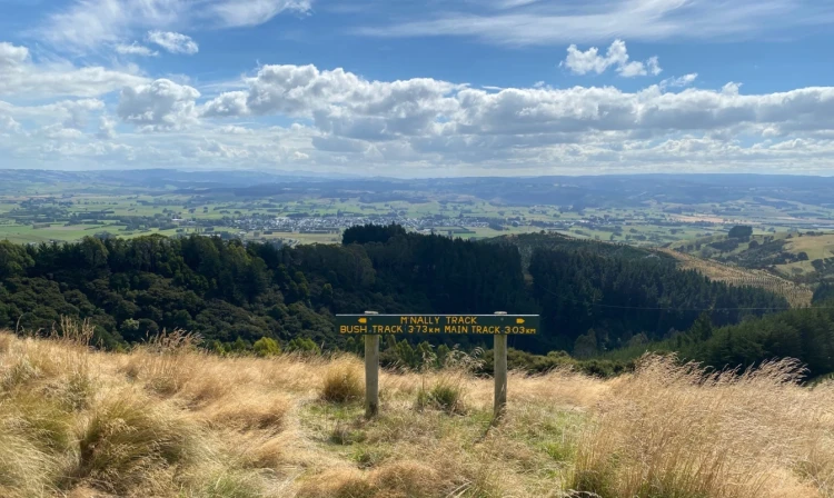
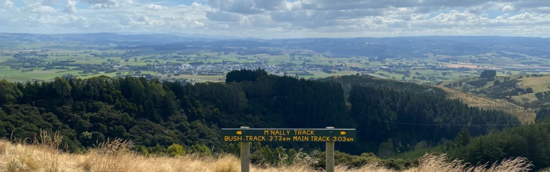
The McNally Walkway is an open country hike that begins on the outskirts of Milton township and climbs to the crest of a nearby hilltop, 318 metres above sea level.
Distance
6.5 km
Walking time
2 hours 15 mins
Difficulty
Intermediate
Dogs
Not allowed
Wheelchair access
Not marked friendly
Current status
No active alerts found. Conditions can still change, so check again before leaving.
Weather outlook
Issued 8 Oct 2026, 11:01 pm
09 October 2026
Mainly fine, apart from patches of morning fog. The chance of an afternoon shower. Light winds, northeasterlies about the east coast.
10 October 2026
Fine apart from isolated showers. Northeasterlies developing in the morning.
11 October 2026
Fine, but becoming mostly cloudy with isolated showers in the evening. Northerlies, turning westerly in the morning.
12 October 2026
Partly cloudy. Light winds.
13 October 2026
Rain developing. Northerlies, dying out.
Regional guidance only; elevation and terrain can produce different conditions.
Explore the area
Explore the track route and surrounding area before you set out.
The walkway is named after the late Tom McNally, a long-serving Milton policeman. It crosses rolling pasture that is particularly pleasing to the eye during summer when many wildflowers bloom. A plane table on the crest of the hill identifies many of the surrounding visible features. The track forks in some sections, offering alternative side tracks for those who want to explore further.
The walkway is located near the cemetery on Cemetery Road, on the outskirts of the town of Milton.
CluthaNZ This track is part of the Herenga ā Nuku Aotearoa track database. Herenga ā Nuku has maps and advice about public access to the outdoors . We encourage you to continue gaining the skills and knowledge required for a safe trip. The NZ Mountain Safety Council has lots of free resources and information you can use. These can be accessed via www.mountainsafety.org.nz . We recommend trying these online learning tools: Trip Planning Tramping/field Skills Basic Navigation River Safety Additionally, check out the range of helpful videos available from the NZ Mountain Safety Council YouTube channel .
Track information, access and weather can change. Confirm current alerts and land-manager information close to departure, tell someone your plans, and carry equipment appropriate for the route and conditions.