11 October 2026
Showers, possibly heavy, clearing to fine spells in the afternoon. Clouding over in the evening with drizzle on the ranges. Light winds, then afternoon westerlies.
Loading outdoor place details…
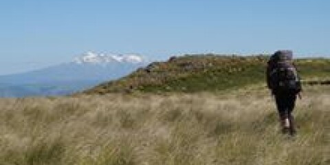
Ruahine Forest Park
A very steep uphill tramp over an easement that traverses private farmland to the Ruahine Forest Park, where the track descends a ridge to Otukota Hut.
Distance
17.8 km
Walking time
4-5 hr each way
Difficulty
Advanced
Dogs
Not allowed
Wheelchair access
Not marked friendly
Current status
Weather outlook
Issued 10 Oct 2026, 11:01 pm
11 October 2026
Showers, possibly heavy, clearing to fine spells in the afternoon. Clouding over in the evening with drizzle on the ranges. Light winds, then afternoon westerlies.
12 October 2026
Mostly cloudy with isolated showers, clearing to fine in the morning. Westerlies developing for a time in the afternoon.
13 October 2026
Occasional rain, clearing for a time in the morning and afternoon. Northwesterlies developing in the morning.
14 October 2026
Partly cloudy with isolated showers. Northwesterlies.
15 October 2026
Showers developing, some heavy. Northwesterlies.
Regional guidance only; elevation and terrain can produce different conditions.
Explore the area
Explore the track route and surrounding area before you set out.
From the Mokai Road end, follow the orange triangles and signs to the car park. The route then crosses private farmland via an easement, marked by wooden posts and waratahs. Allow about 3 hours to reach the boundary with Ruahine Forest Park. From the park boundary, the track descends a ridge for around 2 hours before reaching the Maropea River and Otukota Hut . To get to the Mokai Road end, head north from Mangaweka and turn right off SH1 onto Gorge Road. Cross the Hautapu River and then take the first left onto Wairanu Road, then the first right onto Torere Road. Stay on Torere Raod until you get to Torere junction and then turn right onto Mokai Road. Follow Mokai Road all the way to the end. The road end and carpark area is steep and can be slippery. AWD/4WD vehicles are recommended. Use this location on Google Maps to help find your way there.
No dogs.
Track information, access and weather can change. Confirm current alerts and land-manager information close to departure, tell someone your plans, and carry equipment appropriate for the route and conditions.