10 October 2026
Mostly cloudy. A few showers about the Sounds and inland ranges, possibly heavy from afternoon. Northeasterlies, strong at times about the Kaikoura Coast from afternoon.
Loading outdoor place details…
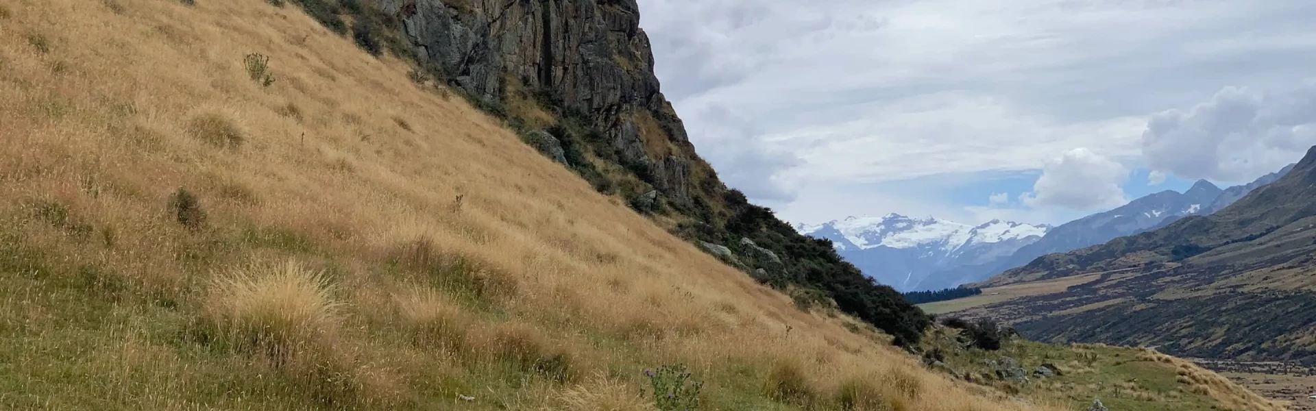
Mount Richmond Forest Park
Pass over Mt Sunday (1310 m) and Mt Riley (1314 m) on this circuit track.
Distance
12.6 km
Walking time
8 hr return
Difficulty
Advanced
Dogs
Allowed — check local rules
Wheelchair access
Not marked friendly
Current status
No active alerts found. Conditions can still change, so check again before leaving.
Weather outlook
Issued 10 Oct 2026, 4:55 pm
10 October 2026
Mostly cloudy. A few showers about the Sounds and inland ranges, possibly heavy from afternoon. Northeasterlies, strong at times about the Kaikoura Coast from afternoon.
11 October 2026
Cloudy with showers, mainly about the Sounds and inland ranges, clearing and becoming mainly fine late afternoon. Northwesterlies but northeasterlies about Kaikoura Coast, strong at times, easing everywhere in the evening.
12 October 2026
Fine. Northerlies developing in the morning.
13 October 2026
Mostly cloudy with isolated showers, clearing to fine in the afternoon. Northwesterlies developing in the morning.
14 October 2026
Mostly cloudy with isolated showers, turning to rain in the afternoon. Northwesterlies, dying out in the evening.
Regional guidance only; elevation and terrain can produce different conditions.
Explore the area
Explore the track route and surrounding area before you set out.
The circuit begins from Davies Road, a short drive from the Onamalutu (Ōnemahuta) Reserve campsite. From the car park the track passes through plantation forest to a signposted junction - take the Mt Riley option on the right. The trail soon descends to cross a tributary of the Ōhinemahuta River, which is normally easy to ford. Beyond, the climb steepens to Pt433, before easing as the ridge leads upwards. Ridge travel is steady through beech forest, with the sound of waterfalls nearby and the chance to hear riroriro (grey warblers), kākā and pīpipi (brown creepers). The track reaches Mt Riley, where the bushline gives way to craggy outcrops requiring care. A telecommunications tower and shed mark the summit. From here the track drops back into forest, weaving past a remarkable stand of twisted lancewood tree daisy, their pale papery bark contrasting with mossy, lichen-clad beech trunks. Undulating travel through open understory leads to a clearing, where the small two-bunk Mt Sunday Biv offers basic overnight shelter and views to the north-east. A short climb from the bivouac leads to Mt Sunday’s summit. The views here expand across the Inland Kaikōura Range, with Tapuae-o-Uenuku, Alarm, Gladstone and Mitre all prominent. A scattering of subalpine plants grows among the schist outcrops, where the route weaves slowly across slippery rock bands. The loop track then descends through forested ridges before rejoining plantation pines, dropping steeply to return to the inward track junction. This eastern reach of the Richmond Range is cloaked almost entirely in forest, its summits lower than those further west, but its waves of ridges and steadfast beech forest make this circuit a beautiful and rewarding tramp.
Weather: Snow, wind and fog are common on the open tops, and bad weather can occur at any time of year. You will need the skills and equipment to tramp safely in these conditions. Carry warm, waterproof clothing and extra food. Water: In dry conditions, carry enough water. Streams are found at lower elevations but become scarce higher up, especially in summer. Water in the park may not be safe to drink - boil, filter or chemically treat it before use. Wasps: Common from December to April. If you are allergic, carry antihistamine. Rivers and Streams: In normal flows, unbridged streams and rivers can usually be crossed. In flood, they may become impassable - be prepared to wait until waters recede. Only cross if you can identify safe entry and exit points and are confident it is safe. If in doubt, stay out. Turn back or wait for conditions to improve.
Mt Sunday Bivvy
5 km north of Renwick, just over the Wairau River bridge, turn off SH6 onto Northbank Road. Follow this for 5 km then turn into Onamalutu Road. After 7 km turn into Briggs Road. Turn into Davies Road and follow this to the car park. Forestry operations frequently change the status of access roads in Mt Richmond Forest Park. Check Mt Richmond Forest Park access for road closures before you go. Use this location on Google Maps to help find your way there.
We encourage you to continue gaining the skills and knowledge required for a safe trip. The NZ Mountain Safety Council has lots of free resources and information you can use. These can be accessed via www.mountainsafety.org.nz . We recommend trying these online learning tools: Trip Planning Tramping / field Skills Basic Navigation River Safety Additionally, check out the range of helpful videos available from the NZ Mountain Safety Council YouTube channel
Dogs with a DOC permit only. Contact closest DOC office to get a permit.
Track information, access and weather can change. Confirm current alerts and land-manager information close to departure, tell someone your plans, and carry equipment appropriate for the route and conditions.