10 October 2026
Cloudy periods. Isolated showers, becoming confined to the ranges in the evening. Light winds.
Loading outdoor place details…
Pureora Forest Park
Mount Titiraupenga Track climbs to a stunning lookout point just below the summit rock.
Distance
6.4 km
Walking time
4 hr return
Difficulty
Advanced
Dogs
Allowed — check local rules
Wheelchair access
Not marked friendly
Current status
No active alerts found. Conditions can still change, so check again before leaving.
Weather outlook
Issued 10 Oct 2026, 4:55 pm
10 October 2026
Cloudy periods. Isolated showers, becoming confined to the ranges in the evening. Light winds.
11 October 2026
Showers, possibly heavy, clearing in the afternoon with increasing fine spells. Northerlies, turning westerly around midday.
12 October 2026
Showers becoming isolated in the morning but remaining cloudy. Northwesterlies developing before dawn.
13 October 2026
A few showers. Northwesterlies developing in the morning.
14 October 2026
Mostly cloudy with a few showers developing in the morning. Northwesterlies developing in the morning.
Regional guidance only; elevation and terrain can produce different conditions.
Explore the area
Explore the track route and surrounding area before you set out.
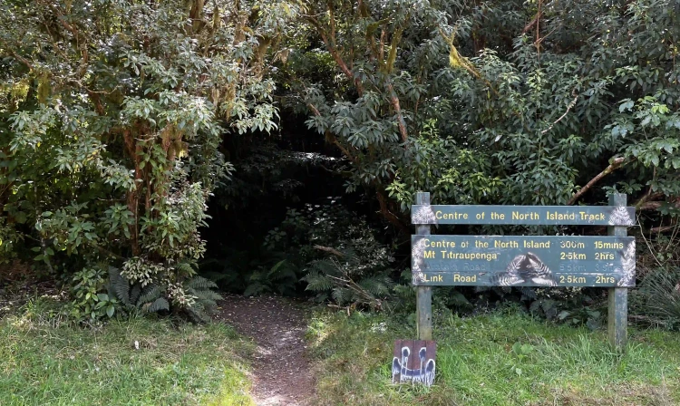
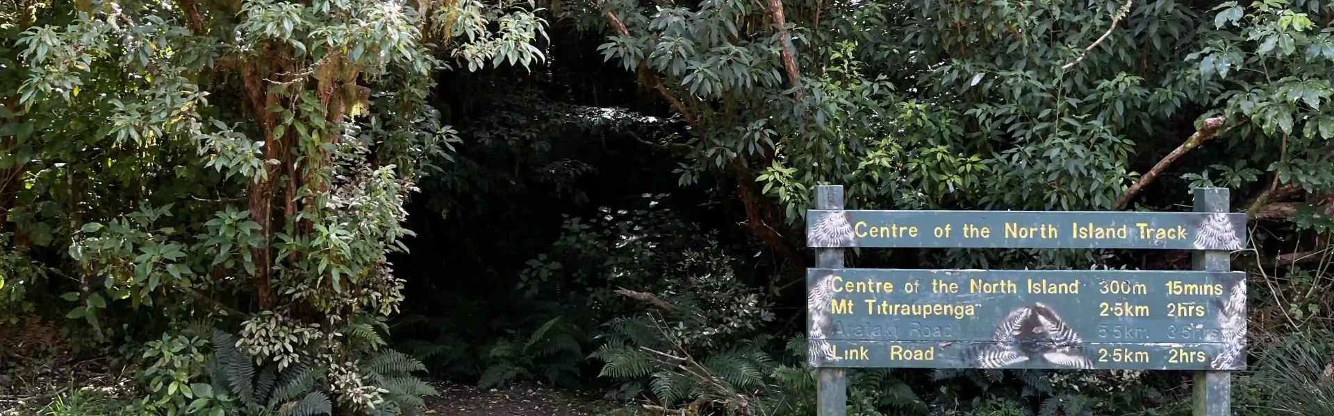
The first 300 meters of the track offer an easy stroll with bridged streams, leading to a small stone cairn marking the geographic center of the North Island. This point, identified in November 1961, is accompanied by detailed notes explaining how it was determined. From the cairn, turn right (north-east) and follow the track markers as the trail heads up the mountain’s spur. The first kilometer is relatively easy, but the incline steadily increases. Several small streams cross the path; they're not bridged but they pose no significant challenge. As the forest thickens and the canopy closes overhead, take care to follow the orange markers to remain on the track. The track winds through diverse forest; from towering rimu, mataī, and tōtara to kamahi as you climb. Keep an eye out for werewere kōkako - the bright blue mushroom featured on New Zealand’s $50 note. This area is also a stronghold for native birds like kōkako, as well as kārearea, kākā, and kererū. At an elevation of 940 meters, the track veers east to skirt the southern high point of the peak before curving northward to a false summit. Here, a small plateau leads to a short descent into a saddle beneath Titiraupenga. The terrain shifts noticeably, with exposed and sometimes slippery rocks and roots requiring careful footing. Through gaps in the forest, there are occasional glimpses of Lake Taupō and the surrounding landscape. After a brief scramble to regain elevation lost at the saddle, the track meets the disused Arataki Track at the base of the summit rock. From here, turn right (south-east) and walk approximately 50 meters to a rocky outcrop. Scramble up this outcrop to a broad, flat area offering panoramic views. On clear days, you can see Mt Pureora’s shoulders, Lake Taupō, the Waikato Region, Mt Pirongia, and even the Coromandel and Hunua Ranges. Please respect the taonga (treasured) status of the summit rock and refrain from climbing it. Return via the same route, being careful to turn off at the monument to find the right track back to the carpark - the orange markers continue out to another carpark.
From SH30 , turn onto Barryville Road, then Link Road. Google Maps does not have the carpark on their map, but if using it, use this location which will guide you up Barryville Road and onto Link Road. From here, continue 3.2km before turning left. Then continue for another 3km where you'll see the carpark on your left. From SH32 , turn onto Kakaho Road which becomes Link Road. Google Maps does not have the carpark on their map, but if using it, use this location which will guide you up Kakaho Road. From here, continue 600m before turning right. After another 1km, turn right onto Link Road. Follow this for 1.4km and you'll see the carpark on your left. [Thanks @Katie Hunt for the prompt to update these directions]
We encourage you to continue gaining the skills and knowledge required for a safe trip. The NZ Mountain Safety Council has lots of free resources and information you can use. These can be accessed via www.mountainsafety.org.nz . We recommend trying these online learning tools: Trip Planning Tramping / field Skills Basic Navigation River Safety Additionally, check out the range of helpful videos available from the NZ Mountain Safety Council YouTube channel
Dogs with a DOC permit only. Contact closest DOC office to get a permit.
Track information, access and weather can change. Confirm current alerts and land-manager information close to departure, tell someone your plans, and carry equipment appropriate for the route and conditions.