10 October 2026
Mostly cloudy. Showers about the Sounds, spreading to the inland ranges this morning, possibly heavy about the inland ranges from afternoon. Northeasterlies, strong at times about the Kaikoura Coast from afternoon.
Loading outdoor place details…
Mount Richmond Forest Park
The Pelorus Track offers walkers 3-4 days of hard tramping through forest along the river. This track is part of Te Araroa Trail.
Distance
35.02 km
Walking time
3-4 days
Difficulty
Advanced
Dogs
Allowed — check local rules
Wheelchair access
Not marked friendly
Current status
No active alerts found. Conditions can still change, so check again before leaving.
Weather outlook
Issued 10 Oct 2026, 10:55 am
10 October 2026
Mostly cloudy. Showers about the Sounds, spreading to the inland ranges this morning, possibly heavy about the inland ranges from afternoon. Northeasterlies, strong at times about the Kaikoura Coast from afternoon.
11 October 2026
Showers becoming isolated with longer fine breaks in the morning, but possibly heavy and thundery with hail about the Kaikoura Coast from afternoon. Northerlies, turning westerly in the afternoon.
12 October 2026
Fine. Northerlies developing in the morning.
13 October 2026
Mostly cloudy with isolated showers, clearing to fine in the afternoon. Northwesterlies developing in the morning.
14 October 2026
Mostly cloudy with isolated showers, turning to rain in the afternoon. Northwesterlies, dying out in the evening.
Regional guidance only; elevation and terrain can produce different conditions.
Explore the area
Explore the track route and surrounding area before you set out.
From the car park at the end of Mt Richmond Road, the track follows the Te Hoiere/Pelorus River for an hour to Emerald Pool, an ideal fishing, swimming and picnicking spot. Beyond the pool, the track leaves the river and climbs a ridge, before zigzagging back down to the river and Captains Creek Hut.
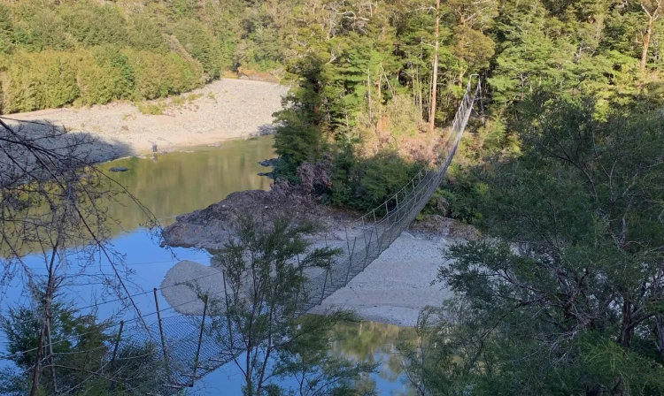
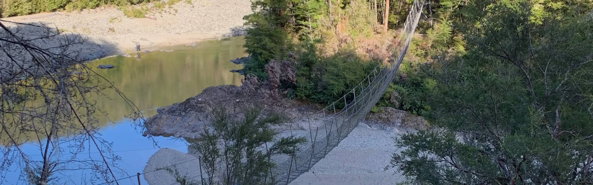
The track climps up, sometimes steeply, and down from the Te Hoiere/Pelorus River and its tributary creeks, crossing Captain Creek first, then the Pelorus and Fishtail Stream via swingbridges. From Fishtail Stream the track cuts across a broad loop in the river on a wide terrace. It rejoins the river and follows it to Middy Creek Hut.
Just upstream of Middy Creek Hut a swingbridge crosses the Pelorus again. The track climbs steeply to the junction with Rocks Track. The Pelorus Track branches to the left. The next section is very demanding; the track is rough in places and crosses steep, densely-forested faces and several streams. Eventually the track crosses Roebuck Creek on a swingbridge. Roebuck Hut is just across the Te Hoiere/Pelorus River. To reach it, ford the Pelorus on foot or cross it using a swingbridge 200 m upstream.
The track leaves the Pelorus after Roebuck Hut, climbing steeply up a ridge between Roebuck and Mates creeks. The track runs high above Roebuck Creek, dropping slighly before Tōtara Saddle to negotiate two gullies before the final, short climb to the saddle. From Tōtara Saddle (690 m) descend steeply for 30 min to Browning Hut beside Browning Stream.
Just below Browning Hut cross Browning Stream and walk through a lovely section of forest. Cross the stream again just before the junction of Browning and Hacket Creeks. From here it is about an hour to the Hacket roadend and picnic area, through a mixture of plantation and native forests.
Towards the end of the track you’ll pass through part of the Nelson mineral belt. Look out for the tell-tale red-brown rocks and shrubby vegetation dominated by manuka. Side tracks here lead to two interesting features: the delicate Whispering Falls (30 min) – note the bridge over Hacket Stream has been destroyed due to flooding and caution is required when crossing an old chromite mine and the bullock track (30 min) Just downstream of this area a suspension bridge crosses the Hacket River from where it's a short walk to the car park.
Undertake the Pelorus Track only if you are an experienced tramper and carry warm, waterproof clothing and extra food. Rivers can rise quickly; do not cross when they are swollen. Fill up water from streams. Boil, filter, or treat for drinking. In dry conditions, ensure you carry sufficient water on the ridges.
All huts are of Standard category. Bookings are not required. They have heating, mattresses and non-flush toilets. Browning Hut has eight bunk beds, the rest have six. Captains Creek Hut Middy Creek Hut Roebuck Hut Browning Hut Hacket Hut
From the Nelson-Blenheim Road (SH6), turn onto Maungatapu Road at Pelorus Bridge Scenic Reserve and drive 13 km to the road end (the road becomes Mt Richmond Road. For the Hacket car park end, head for Aniseed Valley, 29 km south of Nelson via Richmond and Hope.
We encourage you to continue gaining the skills and knowledge required for a safe trip. The NZ Mountain Safety Council has lots of free resources and information you can use. These can be accessed via www.mountainsafety.org.nz . We recommend trying these online learning tools: Trip Planning Tramping / field Skills Basic Navigation River Safety Additionally, check out the range of helpful videos available from the NZ Mountain Safety Council YouTube channel .
Dogs with a DOC permit only. Contact closest DOC office to get a permit.
Track information, access and weather can change. Confirm current alerts and land-manager information close to departure, tell someone your plans, and carry equipment appropriate for the route and conditions.