11 October 2026
Showers, possibly heavy, clearing in the afternoon with increasing fine spells. Low cloud developing late evening with drizzle about the western ranges. Northerlies, turning westerly around midday.
Loading outdoor place details…
Ruahine Forest Park
Walk along the tussock tops of the Hikurangi Range between Purity and McKinnon huts in the Ruahine Forest Park.
Distance
27.4 km
Walking time
3-4 days
Difficulty
Advanced
Dogs
Not allowed
Wheelchair access
Not marked friendly
Current status
No active alerts found. Conditions can still change, so check again before leaving.
Weather outlook
Issued 10 Oct 2026, 11:01 pm
11 October 2026
Showers, possibly heavy, clearing in the afternoon with increasing fine spells. Low cloud developing late evening with drizzle about the western ranges. Northerlies, turning westerly around midday.
12 October 2026
Mostly cloudy with isolated showers. Light winds, then northwesterlies developing at night.
13 October 2026
A few showers. Northwesterlies.
14 October 2026
Partly cloudy with isolated showers developing in the morning. Northwesterlies developing in the morning.
15 October 2026
Showers, some possibly heavy. Northwesterlies.
Regional guidance only; elevation and terrain can produce different conditions.
Explore the area
Explore the track route and surrounding area before you set out.
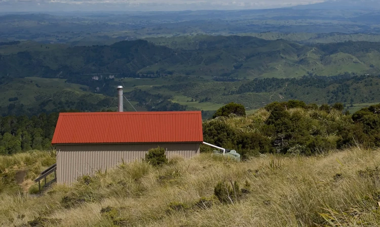
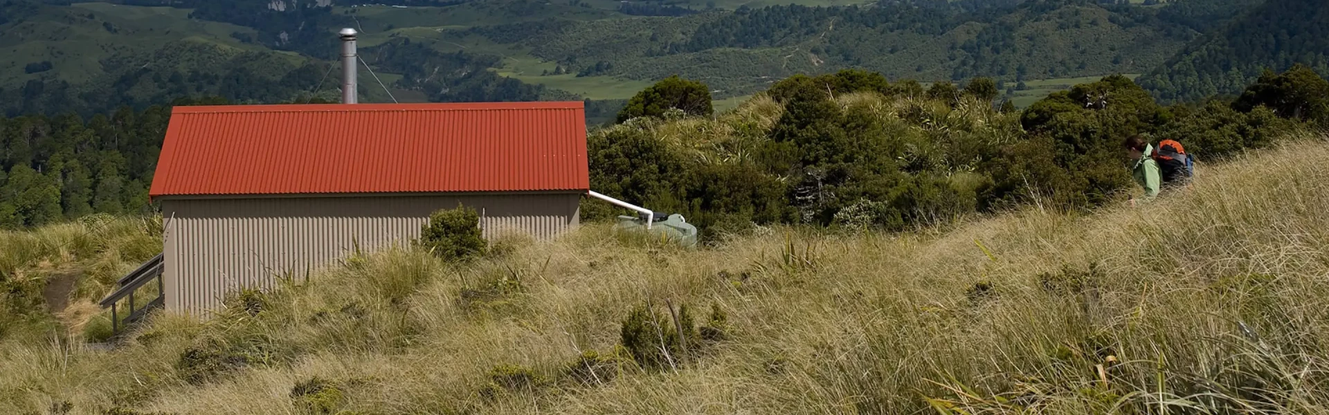
Follow the poled route across farmland from the carpark. After an initial flat section of 30-40 minutes, Purity Hut Track climbs steeply for another 30-40 minutes to reach the Ruahine Forest Park boundary. From here the track climbs up through the red beech and kaikawaka forest at reasonably steep grade until reaching Purity Hut amongst the tussock. Purity Hut is a standard 6-bunk hut. Bookings are not required.
The track follows on up the a tussock ridge from Purity Hut to Wooden Peg (1672 m). From here turn left along the tops of the range - head northeast to Iron Peg (1703 m) and on past small tarns to Mangaweka Trig (1733 m), the highest point in the Ruahine Forest Park. Travel is then possible right along the open tussock tops of the Hikurangi Range to McKinnon Hut sitting just above the bushline down a short side ridge at the northern end. Some lovely tarns are passed on the way. Due to travel on the unmarked open tops this section should not be attempted in poor visibility or bad weather. Snow can occur any time of year. McKinnon Hut is a standard 6-bunk hut. Bookings are not required
Walk back up the McKinnon Hut Track to the crest of the Hikurangi Range and then down the long ridge to the cableway across the Kawhatau River. Unless the river is up, it is easy to walk across the river here. There is currently no accommodation available at Kawhatau Base. There has previously been vehicle access to Kawhatau Base through private land but this access is no longer available. Access is now available via a 9 km walk up the Kawhatau River, starting where the Rangitane Road bridge crosses the Kawhatau River. Beware this route may not be accessible during times of high river flow.
From Kawhatau Base, go through the gate and down to the Kawhatau River. Head downstream for approximately 9.5 km to the Rangitane Road bridge. Beware this route may not be accessible during times of high river flow.
Access is closed from 1 June to 31 October and may be closed at other times of the year for farm management purposes. Be aware of hazards such as livestock and electric fences. At all times, you must get approval prior to accessing from the farm manager. A rrange this by phoning the farm owner at least 48 hours before your visit. The continued use of access across this farm is dependent on every party gaining permission from the farm owner every time. Contact DOC Manawatu Office for contact details of the farm manager.
Mangakukeke Road End (to Purity Hut) Heading just north from Mangaweka turn right off SH1, cross the Rangitikei River and follow Kawhatau Valley Road. This eventually leads to Upper Kawhatau Valley Road and not far past this turn right onto Mangakukeke Road. Use this link to the trailhead in Google Maps Kawhatau Base (Rangitane Road Access) There is currently no accommodation available at Kawhatau Base. There has previously been vehicle access to Kawhatau Base through private land but this access is no longer available. Access is now available via a 9 km walk up the Kawhatau River, starting where the Rangitane Road bridge crosses the Kawhatau River. Beware this route may not be accessible during times of high river flow. To get to the Rangitane Road bridge, head just north from Mangaweka and turn right off SH1. Cross the Rangitikei River and follow Kawhatau Valley Road. This eventually leads to Upper Kawhatau Valley Road which becomes Rangitane Road. The bridge is just past the turn off to Smiths Road. Be aware there is no car park. Use this link to the pickup point in Google Maps
We encourage you to continue gaining the skills and knowledge required for a safe trip. The NZ Mountain Safety Council has lots of free resources and information you can use. These can be accessed via www.mountainsafety.org.nz . We recommend trying these online learning tools: Trip Planning Tramping / field Skills Basic Navigation River Safety Additionally, check out the range of helpful videos available from the NZ Mountain Safety Council YouTube channel .
No dogs.
Track information, access and weather can change. Confirm current alerts and land-manager information close to departure, tell someone your plans, and carry equipment appropriate for the route and conditions.