11 October 2026
Cloudy with the odd shower, clearing to fine late afternoon. Northerlies turning westerly in the afternoon, dying out early evening.
Loading outdoor place details…
Queen Charlotte Sound/Tōtaranui area
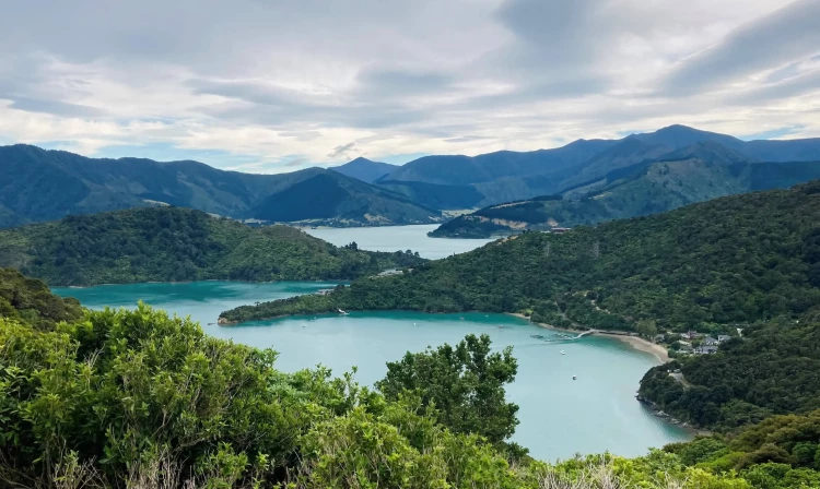
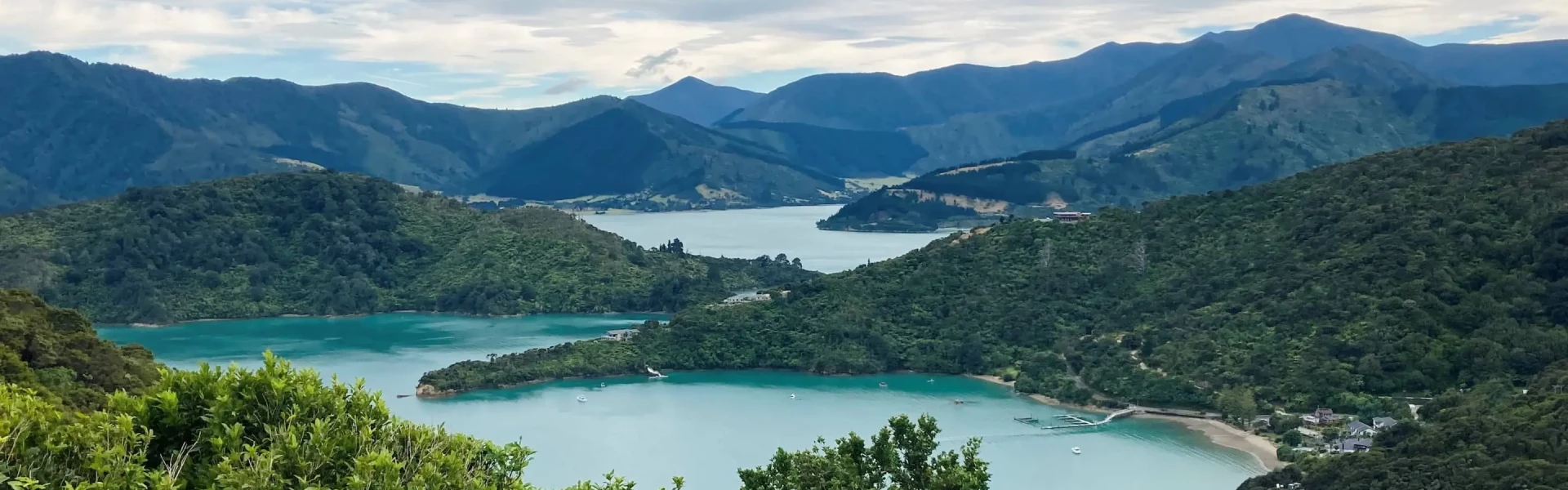
Experience the spectacular Marlborough Sounds by walking or biking the Queen Charlotte Track. The track stretches 73.5 km from historic Meretoto/Ship Cove through to Anakiwa in Queen Charlotte Sound. This track is part of Te Araroa Trail.
Distance
73.5 km
Walking time
3-5 days
Difficulty
Intermediate
Dogs
Not allowed
Wheelchair access
Not marked friendly
Current status
Weather outlook
Issued 11 Oct 2026, 4:35 pm
11 October 2026
Cloudy with the odd shower, clearing to fine late afternoon. Northerlies turning westerly in the afternoon, dying out early evening.
12 October 2026
Fine, but some early morning valley fog possible. Light winds, then northerlies developing in the afternoon.
13 October 2026
Mainly fine, but isolated showers in the morning. Northwesterlies.
14 October 2026
Occasional rain from morning. Northerlies.
15 October 2026
Isolated showers turning to rain in the afternoon. Northwesterlies, turning southerly in the afternoon.
Regional guidance only; elevation and terrain can produce different conditions.
Explore the area
Explore the track route and surrounding area before you set out.
There is no road to Meretoto/Ship Cove so you will need to arrange boat transport to start your walk there. Camping is not permitted at Meretoto/Ship Cove but there are toilet facilities. Most visitors to Meretoto/Ship Cove take time to explore the historic site and enjoy reading the interpretation panels around the site. The track climbs away from the beach, passing through a largely unmodified forest, where the high canopy is complemented by a diverse understorey of shrubs and small trees. On the ridges higher up, beech trees dominate. After 50 minutes walking, you will reach a lookout point at a saddle, where you will enjoy good views of both the inner and outer Queen Charlotte Sound. Beyond the saddle, the track drops into Resolution Bay, where there is a DOC campsite at Schoolhouse Bay and further along, private cabin accommodation.
From Resolution Bay the track passes over a ridge and into Endeavour Inlet. It winds downward and follows the shoreline to the head of the inlet, where interpretation signs recall the antimony mining era. Hostel and motel accommodation are available on the way.
From Endeavour Inlet the track stays near the shoreline and wanders through regenerating forest rich in small birds. It rounds Big Bay to Camp Bay where there is a DOC campsite and, a little further on, private accommodation. It is possible to bypass Camp Bay by using a direct track to Kenepuru Saddle.
The track passes through private land in this section. Make sure you have your Q.C.L.T.C. Pass, see link below in Essential Information. This is the longest and most arduous section of the journey; most mountain bikers will need to push their bike in various places here. However, from the top of the ridge you will be well rewarded with magnificent panoramas of the Sounds. Climb out of Camp Bay to Kenepuru Saddle and follow the ridge separating Queen Charlotte Sound from Kenepuru Sound. Above Bay of Many Coves and Kumutoto Bay are two DOC campsites, Bay of Many Coves and Black Rock, each with water, toilets and a cooking shelter. From Camp Bay, it's 3 hours to the Bay of Many Coves campsite and 6 hours to Black Rock campsite. Eventually the track descends to Torea Saddle between Portage and Torea Bay. There is a DOC campsite at Cowshed Bay and private accommodation in Portage Bay.
The track passes through private land in this section. Make sure you have your Q.C.L.T.C. Pass, see link below in Essential Information. This part of the journey also follows the ridge line. Here gorse and manuka are prolific, sheltering shrubs and trees that will one day shade the way. A side walk leads to a lookout just before the descent to Te Mahia Saddle begins. At Mistletoe Bay there are cabins and campsites. To book contact Mistletoe Bay Eco Village (external site). There is also private accommodation at Te Mahia Bay.
The track passes through private land in this section. Make sure you have your Q.C.L.T.C. Pass, see link below in Essential Information. Beginning on the road above Mistletoe Bay, this section follows old bridle paths high above the water. The track rounds an obvious point and descends to the DOC campsite at Umungata (Davies Bay). The final hour’s walking is on an easy path through mature beech forest to Anakiwa. At Anakiwa are a carpark, shelter, toilets and phone near the track end, and a public jetty opposite the Outward Bound school. Here you can catch a bus or a boat to Picton or to nearby accommodation.
The track itself is well signposted but some accommodation places may not have signs, so make sure you get clear directions when you book. Note that the private tracks leading off the track to the accommodation places may not always be of the same standard as the main track, which is maintained by DOC staff. Sections of the track are on private land and a Queen Charlotte Track Land Cooperative (Q.C.T.L.C.) Pass is required to walk or ride the track in these sections which are between Kenepuru Saddle and Davies Bay near Anakiwa. Buy your pass here (external site). Some sections have limited water, especially during drought conditions. Always carry enough water for the day with you. Giardia and other waterborne diseases may be present in the water at the campsites or in the streams. All water should be treated, filtered or boiled for 3 minutes to make it safe to drink. Wasps are common in late summer and autumn, particularly on beech trees. Carry antihistamines if you are allergic to their stings.
There are many places to stay, including six DOC-managed, ‘self-registration’ campsites on the track, each with toilets and water supply. Some also have cooking shelters and picnic tables. You will need to carry your own cooker and food with you. A number of private accommodation providers offer hostel, cabin, motel and hotel lodgings, and tent sites alongside or close to the track.
There are a number of different places you can access the track. Various transport options are available – one of the more common options for the full walk is to take a boat out to Ship Cove and walk back towards Anakiwa (or vice versa). Visit https://www.qctrack.co.nz/ for a list of transport operators. Use this location in Google Maps to find the Anakiwa end. Use this location in Google Maps to find the Ship Cove end Boat operators may also be able to carry your pack between accommodation places.
We encourage you to continue gaining the skills and knowledge required for a safe trip. The NZ Mountain Safety Council has lots of free resources and information you can use. These can be accessed via www.mountainsafety.org.nz . We recommend trying these online learning tools: Trip Planning Tramping / field Skills Basic Navigation Additionally, check out the range of helpful videos available from the NZ Mountain Safety Council YouTube channel .
Strong northerly winds are common through the Cook Strait and will affect some parts of the track more than others. Rain is likely with passing frontal systems.
No dogs.
Track information, access and weather can change. Confirm current alerts and land-manager information close to departure, tell someone your plans, and carry equipment appropriate for the route and conditions.