10 October 2026
Fine spells with isolated showers developing in the afternoon. Easterlies dying out in the evening.
Loading outdoor place details…
Ruahine Forest Park
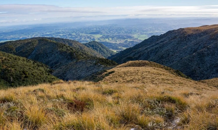
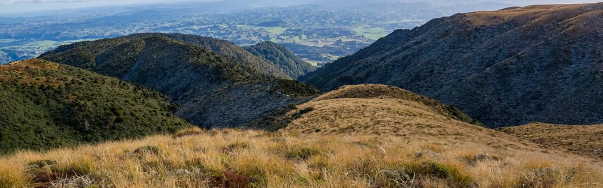
An easy to moderate overnight tramp to Rangiwahia Hut on the Whanahuia Range in Ruahine Forest Park. Return via the open tops and Deadman’s Track.
Distance
12.98 km
Walking time
2 days
Difficulty
Advanced
Dogs
Allowed — check local rules
Wheelchair access
Not marked friendly
Current status
No active alerts found. Conditions can still change, so check again before leaving.
Weather outlook
Issued 10 Oct 2026, 4:55 pm
10 October 2026
Fine spells with isolated showers developing in the afternoon. Easterlies dying out in the evening.
11 October 2026
Showers, possibly heavy, clearing to fine spells in the afternoon. Clouding over in the evening with drizzle on the ranges. Light winds, then afternoon westerlies.
12 October 2026
Showers becoming isolated with longer fine breaks in the morning. Westerlies developing for a time in the morning and afternoon.
13 October 2026
Showers developing in the morning. Northwesterlies.
14 October 2026
A few showers. Northwesterlies.
Regional guidance only; elevation and terrain can produce different conditions.
Explore the area
Explore the track route and surrounding area before you set out.
Time required : 2 days This overnight tramp can be walked in either direction, however the most common is to take Rangiwahia Hut Track up (2-3 hrs), and to return via Deadman’s Track (5-6 hrs). Due to travel on the open tops, trampers are encouraged to return via Rangiwahia Hut Track in poor visibility or bad weather. In good weather, follow the obvious path up the tussock ridge on to the tops of the Whanahuia Range. Head east to Mangahuia Trig. From the trig, poles lead south-east down a rolling tussock ridge and down to the carpark.
There are no longer gas cookers at Rangiwahia Hut, so you must take your own portable cooking stove. There is a wood burner in the hut for heating, which may be used for cooking. Firewood is supplied by DOC.
Rangiwahia Hut
Travel past the villages of Kimbolton and Rangiwahia and continue along Te Para Para Rd and on to Renfrew Road. Follow this to the carpark at the end. Use this location in Google Maps to find your way there.
We encourage you to continue gaining the skills and knowledge required for a safe trip. The NZ Mountain Safety Council has lots of free resources and information you can use. These can be accessed via www.mountainsafety.org.nz . We recommend trying these online learning tools: Trip Planning Tramping / field Skills Basic Navigation River Safety Additionally, check out the range of helpful videos available from the NZ Mountain Safety Council YouTube channel .
Dogs with a DOC permit for recreational hunting or management purposes only.
Track information, access and weather can change. Confirm current alerts and land-manager information close to departure, tell someone your plans, and carry equipment appropriate for the route and conditions.