Walking tracks
- Pirongia summit via Mahaukura and Tirohanga TracksPirongia Forest Park · 2.4 km away
- Karioi TrackKarioi area · 33 km away
Loading outdoor place details…
Pirongia Forest Park
Climb to a lookout on Mount Pirongia with excellent views across the Waikato Basin to the Kaimai Ranges.
Distance
6.8 km
Walking time
2 hrs 30 min return
Difficulty
Easy
Dogs
Not allowed
Wheelchair access
Not marked friendly
Current status
Explore the area
Explore the track route and surrounding area before you set out.
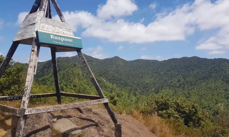
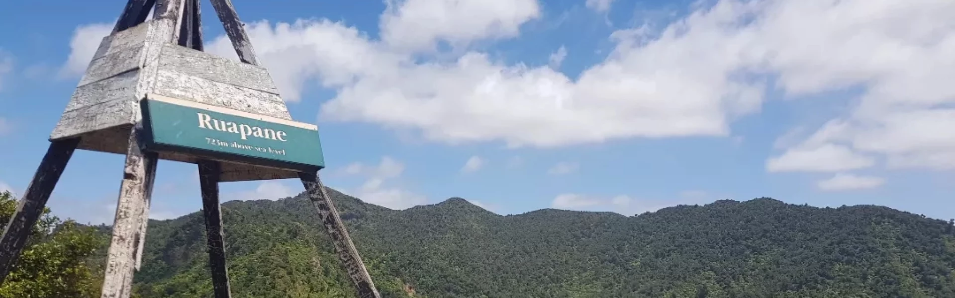
Ruapane Track starts at the Waite Road car park and follows up a slippery gully before reaching the bush edge. From here, the track follows a ridge that becomes steeper as it reaches the junction of the Tirohonga Track. Nearer the top, there is a short climb up a rocky outcrop to get to the trig view point. You can also get to the loout via Tirohanga Track
Because of poorly drained soils, the tracks can be very muddy and slippery, especially after rain.
5.5 km north of Pirongia, turn off SH39 onto Te Pahu Road, which is signposted for Pironga Forest Park. After 4.7 km, turn into Waite Road and follow this to the end. Use this location on Google Maps to help find your way there.
We encourage you to continue gaining the skills and knowledge required for a safe trip. The NZ Mountain Safety Council has lots of free resources and information you can use. These can be accessed via www.mountainsafety.org.nz . Level up in your outdoor knowledge with these interactive online learning tools: Trip Planning Tramping / field Skills Basic Navigation River Safety Additionally, check out the range of helpful videos available from the NZ Mountain Safety Council YouTube channel .
No dogs.
Track information, access and weather can change. Confirm current alerts and land-manager information close to departure, tell someone your plans, and carry equipment appropriate for the route and conditions.