08 October 2026
Mostly cloudy, with a few spots of morning drizzle. Southeasterlies, turning northeasterly in the afternoon.
Loading outdoor place details…
Dunedin area
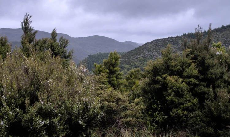
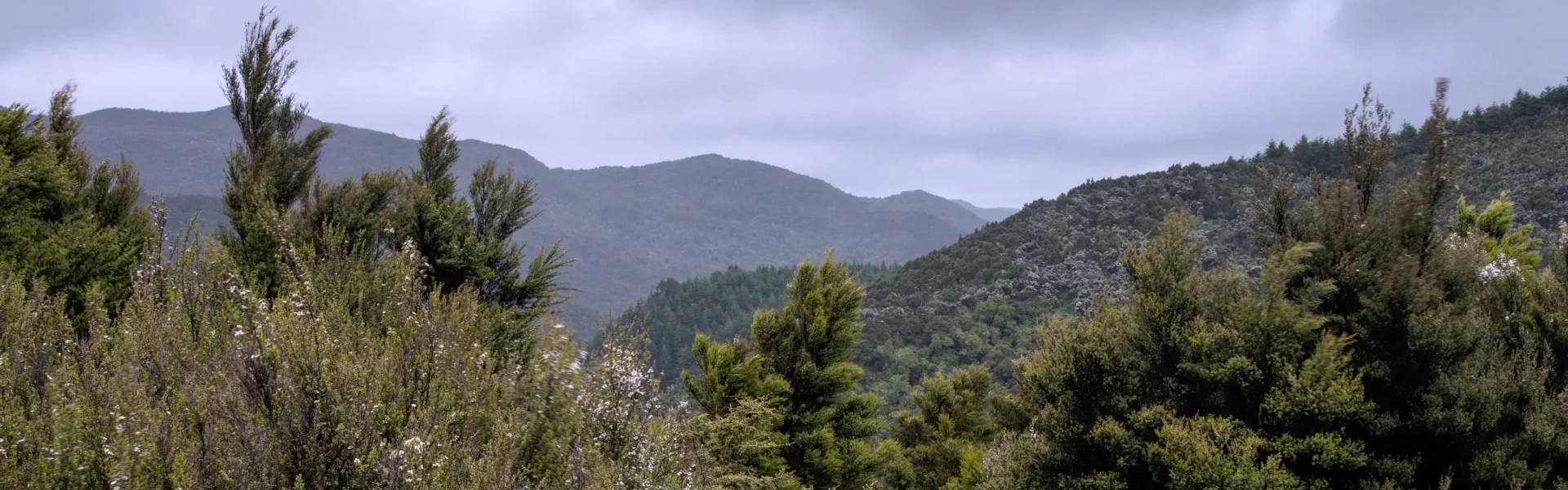
Silverpeaks Circuit Track provides a challenging tramp through the Silverpeaks Scenic Reserve. You will explore ridges covered in regenerating native bush, tussock land and follow historic gold mining water races
Distance
24 km
Walking time
12 hr
Difficulty
Advanced
Dogs
Not allowed
Wheelchair access
Not marked friendly
Current status
No active alerts found. Conditions can still change, so check again before leaving.
Weather outlook
Issued 8 Oct 2026, 3:45 am
08 October 2026
Mostly cloudy, with a few spots of morning drizzle. Southeasterlies, turning northeasterly in the afternoon.
09 October 2026
Partly cloudy. Northeasterlies.
10 October 2026
Fine. Northwesterlies, turning northeasterly in the morning.
11 October 2026
Fine, but becoming mostly cloudy with isolated showers in the afternoon. Light winds.
12 October 2026
Partly cloudy. Light winds.
Regional guidance only; elevation and terrain can produce different conditions.
Explore the area
Explore the track route and surrounding area before you set out.
Time required: 4.5 hours Distance: 9 km The track begins from the car park and takes the left fork to follow Green Ridge to the site of the former Green Hut (now a picnic or camping area without drinking water). The track heads uphill from the Green Hut site and past the turnoff on the right that leads down to Possum Hut. The sign beside it, 'Pulpit Rock' and the orange markers confirm the main track to the left. The track traverses a ridge and climbs steadily to Pulpit Rock. The 360º view from the pulpit includes the coast and many major inland ranges. From Pulpit Rock and along the ridgeline you can view the Painted Forest, a significant stand of silver beech/tahina. This area is very exposed and weather conditions can change quite suddenly; Māori named this section Paekohu, or 'fog ridge', for good reason. At the sign for 'Jubilee Hut', follow the marked track uphill to the flat rocky crest for a commanding view of the neighbouring valleys and the Rock and Pillar Range. The track then descends into the schist-tor-encrusted upland valley. After passing a prominent schist tor or obelisk, turn left to look down a steep ridge into the valley. From here Jubilee Hut can be seen in the distance, up on the valley's left flank. Reaching it means negotiating the aptly named Devils Staircase, an unbenched, steep 340 metre descent - take extreme care. At the bottom is a small campsite next to Cave Creek. The track crosses the creek several times before reaching the sign on the true left, indicating Jubilee Hut is a 5 - 10 minute climb above the intersection.
Time required: 3 hr 50 min Distance: 7.7 km From Jubilee Hut, return to the sign and cross over the creek to the original hut site. This was built by members of the Otago Tramping and Mountaineering Club in 1951 and removed when the new hut was built. The fireplace still remains. At the old hut site, take the track from behind the right hand side of the site, following the orange markers. This climbs the ridge to the north and meets an old farm track by a gate. Follow the markers along the farm track which drops towards the valley floor beneath a large rock formation known locally as 'The Cats Teeth' approximately 2.5 km from Jubilee Hut. Underneath the Cats Teeth, you will find the junction to ABC Cave, which is a 5 min walk up a steep narrow route. ABC Cave is a small cave named after three Dunedin men, Al, Bruce and Colin who often used the cave in the late 1960s. It has a timber sleeping platform and can be used as a shelter. Retrace your steps from ABC Cave to the main route and continue along the track along the valley floor. You'll head back up to Yellow Ridge, and then follow along the ridge for approximately 5km. F rom the top of Yellow Ridge, the track finally descends through tussock and into regenerating native bush before reaching Philip J Cox Memorial Hut.
Time required : 3 hr 45 min Distance: 7.5 km From Philip J Cox Memorial Hut the track continues down the ridge through native bush. 400 m from the hut, a new track alignment has been adopted to form a complete circuit within the Silverpeaks Scenic Reserve. Instead of following the old track alignment which exited the reserve via a forestry block, turn right at wooden routed sign named River Track. Continue to follow the wooden routed River Track signs to stay on the new track to complete the circuit and return to the Silverpeaks Scenic Reserve car park. The track follows the South Branch of the Waikouaiti River which you must cross a couple of times. If you keep an eye out, you will be able to see former gold mine workings and water races as well as a beautiful rock pool which is a must see part of the track. This section of track provides a steady gradient most of the way before reaching a final steep climb from the valley floor back to the car park.
This route takes you to the historic Possum Hut. The hut is rundown and probably not suited for overnight stays. There is no camping at the hut, but good flats exist 500m east between the main river forks. From the Yellow Ridge Route, the route heads up the south branch of the Waikouaiti River to the historic Possum Hut constructed by Joe Clark and Philip Powell and now a memorial to the hut builders and old gold diggers from the depression years of the 1930s. Possum Ridge Route continues beyond the hut for 1.7km, ascending to Green Hill.
Challenging conditions with rapidly changing weather Although the Silverpeaks aren’t high by some standards, this is exposed, rugged, challenging country, with weather conditions that can change rapidly. It is often both fogged in and blasted by south-westerly storms or chilled by the prevailing nor-easterly. A good standard of fitness, equipment and experience is necessary. The track crosses creeks and rivers. Flash flooding can occur during periods of high rainfall. Avoid the area during or immediately after periods of heavy rain. Check out Helpful resources below for a river crossing refresher. New track alignment The wooden routed signs named River Track mark the new alignment for the Silverpeaks Circuit Track. These signs will be replaced by DOC intersection signs, until then, these signs mark the DOC track. Paper maps, mapping apps and third-party websites may not show the correct track alignment if they have not been updated. Additionally, ABC Cave is not marked correctly on the NZ Topo Map. The route to the cave starts 250m south of the marked location on the NZ Topo Map. Map: Topo50 map sheet CE17 – Dunedin Dogs are permitted from Mountain Road car park to Pulpit Rock only. Dogs must be on a leash.
Jubilee Hut Category: Standard Facilities: 10 bunk beds, mattresses, toilets - non-flush, water from tap - not treated, boil before use Bookings required Philip J Cox Memorial Hut Category: Standard Facilities: 4 bunk beds, mattresses, toilets - non-flush, water from tap - not treated, boil before use Bookings not required - first come, first served
From Dunedin, head north on SH1. Just past the Waitati Store at Blueskin Bay, turn left onto Double Hill Road, and then take the right fork, Semple Road, which runs into Mountain Road/Steep Hill Rd. The car park on Mountain Road gives access to the Silver Peaks route, Possum Shelter route and Swampy Ridge track. Use this location in Google Maps to find your way there.
We encourage you to continue gaining the skills and knowledge required for a safe trip. The NZ Mountain Safety Council has lots of free resources and information you can use. These can be accessed via www.mountainsafety.org.nz . We recommend trying these online learning tools: Trip Planning Tramping / field Skills Basic Navigation River Safety Additionally, check out the range of helpful videos available from the NZ Mountain Safety Council YouTube channel .
Not Applicable
Track information, access and weather can change. Confirm current alerts and land-manager information close to departure, tell someone your plans, and carry equipment appropriate for the route and conditions.