11 October 2026
Mainly fine, the odd shower from late afternoon. Southwesterlies for a time afternoon and early evening.
Loading outdoor place details…
Rock and Pillar Conservation Area
Go up and over the Rock and Pillar Range.
Distance
13.5 km
Walking time
4 hr 30 min – 5 hr 30 min one way
Difficulty
Advanced
Dogs
Not allowed
Wheelchair access
Not marked friendly
Current status
Weather outlook
Issued 11 Oct 2026, 4:35 pm
11 October 2026
Mainly fine, the odd shower from late afternoon. Southwesterlies for a time afternoon and early evening.
12 October 2026
Morning cloud and possible fog, then fine. Low cloud returning about the coast at night affecting the Otago Peninsula. Northerlies, dying out for a time in the afternoon and evening.
13 October 2026
Partly cloudy, with a period of rain in the afternoon and evening. Northwesterlies, turning southerly in the evening.
14 October 2026
Occasional rain, persistent with heavy falls in the morning. Northeasterlies, dying out in the morning.
15 October 2026
Showers, some heavy, easing in the afternoon. Snow lowering to 600 metres in the morning. Southwesterlies.
Regional guidance only; elevation and terrain can produce different conditions.
Explore the area
Explore the track route and surrounding area before you set out.
Weather and terrain The Rock and Pillar Conservation Area is very exposed and subject to extreme temperatures – hot and dry in summer, freezing cold and covered in snow in winter. Although there are no avalanche forecasts for this area, if you plan to be in this area in winter or spring only go if you have the training and expertise to manage this risk. Seasonal restrictions Old Dunstan Road is closed 1 June – 30 September each year. Gladbrook Road is closed for lambing 1 September – 31 October each year.
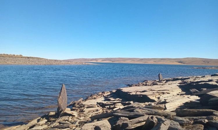
This track can be accessed either from the southern end of Gladbrook Road near Middlemarch, or from a stile along the Old Dunstan Road near the north-eastern side of Loganburn Reservoir. The links above will take you to Google Maps to help you find your way there.
We encourage you to continue gaining the skills and knowledge required for a safe trip. The NZ Mountain Safety Council has lots of free resources and information you can use. These can be accessed via www.mountainsafety.org.nz . We recommend trying these online learning tools: Trip Planning Tramping / field Skills Basic Navigation River Safety Additionally, check out the range of helpful videos available from the NZ Mountain Safety Council YouTube channel .
No dogs.
Track information, access and weather can change. Confirm current alerts and land-manager information close to departure, tell someone your plans, and carry equipment appropriate for the route and conditions.