11 October 2026
Mainly fine, the odd shower from late afternoon. Southwesterlies for a time afternoon and early evening.
Loading outdoor place details…
Dunedin City
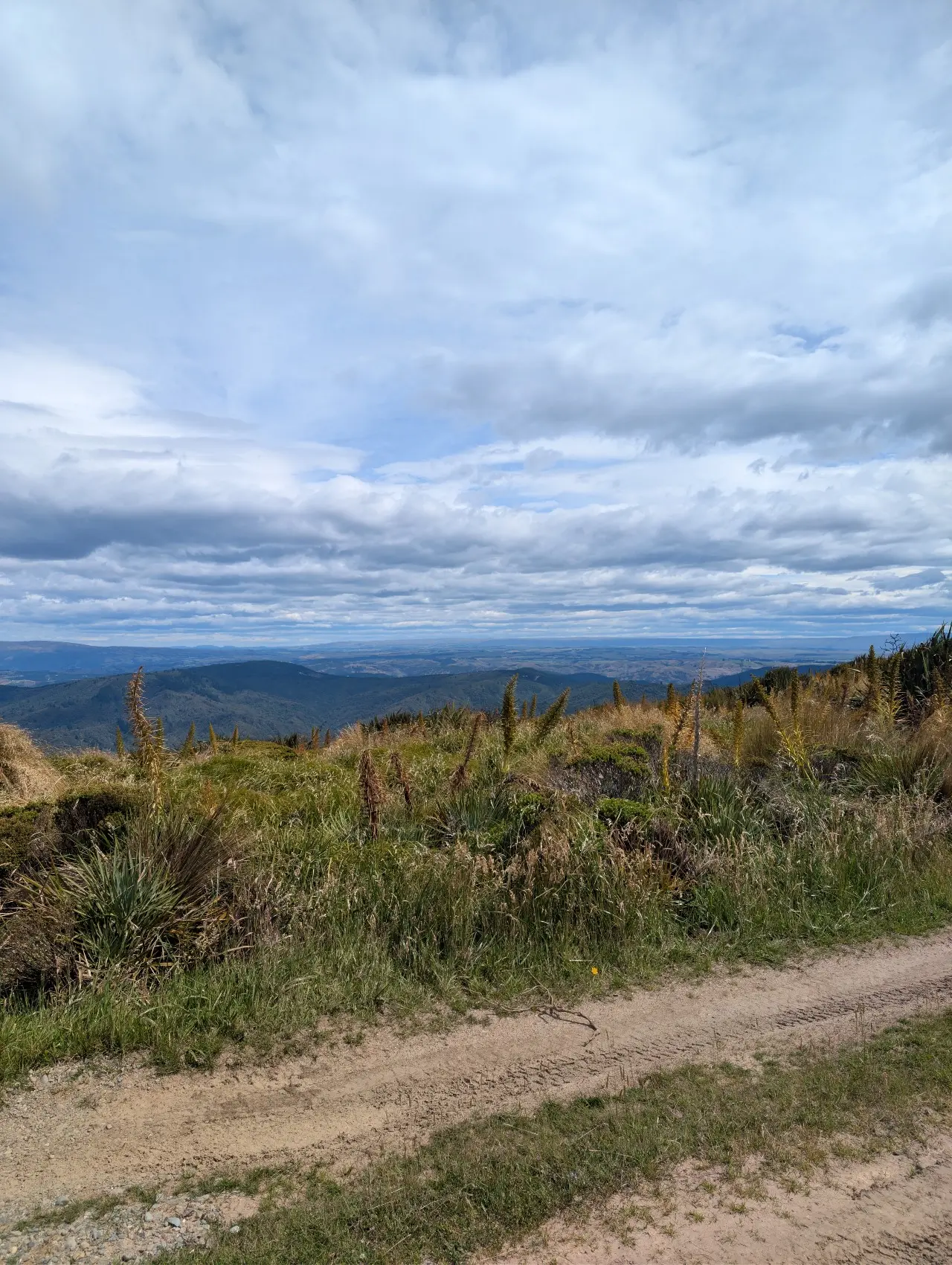
Swampy Ridge Track ascends to the 739m high Swampy summit for picturesque views of the surrounding area. Part of the track follows a 4WD track which showcases a vibrant red soil from which the region’s name is derived. The red ochre is known as takou in Māori and the name Otago comes from Otakou, meaning the place of the red ochre.
Distance
12.5 km
Walking time
3 - 4 hours
Difficulty
Advanced
Dogs
Not allowed
Wheelchair access
Not marked friendly
Current status
No active alerts found. Conditions can still change, so check again before leaving.
Weather outlook
Issued 11 Oct 2026, 4:35 pm
11 October 2026
Mainly fine, the odd shower from late afternoon. Southwesterlies for a time afternoon and early evening.
12 October 2026
Morning cloud and possible fog, then fine. Low cloud returning about the coast at night affecting the Otago Peninsula. Northerlies, dying out for a time in the afternoon and evening.
13 October 2026
Partly cloudy, with a period of rain in the afternoon and evening. Northwesterlies, turning southerly in the evening.
14 October 2026
Occasional rain, persistent with heavy falls in the morning. Northeasterlies, dying out in the morning.
15 October 2026
Showers, some heavy, easing in the afternoon. Snow lowering to 600 metres in the morning. Southwesterlies.
Regional guidance only; elevation and terrain can produce different conditions.
Explore the area
Explore the track route and surrounding area before you set out.
The track passes by peat swamps where Moa gizzard stones can be found. However, other animal remains disappear in the acidic soil and water. Swampy Ridge Track links with other walking tracks in the area.
Dogs with a DOC permit only.
Swampy Ridge Track can be accessed from the carpark on Semple Road in the Waitati settlement or from Flagstaff-Pineapple Walkway .
Department of Conservation This track is part of the Herenga ā Nuku Aotearoa track database. Herenga ā Nuku has maps and advice about public access to the outdoors . We encourage you to continue gaining the skills and knowledge required for a safe trip. The NZ Mountain Safety Council has lots of free resources and information you can use. These can be accessed via www.mountainsafety.org.nz . We recommend trying these online learning tools: Trip Planning Tramping/field Skills Basic Navigation River Safety Additionally, check out the range of helpful videos available from the NZ Mountain Safety Council YouTube channel .
Dogs with a DOC permit only.
Track information, access and weather can change. Confirm current alerts and land-manager information close to departure, tell someone your plans, and carry equipment appropriate for the route and conditions.