10 October 2026
Mostly cloudy, with the odd shower. Northeasterlies.
Loading outdoor place details…
Pirongia Forest Park
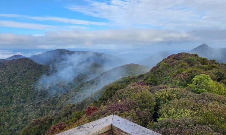
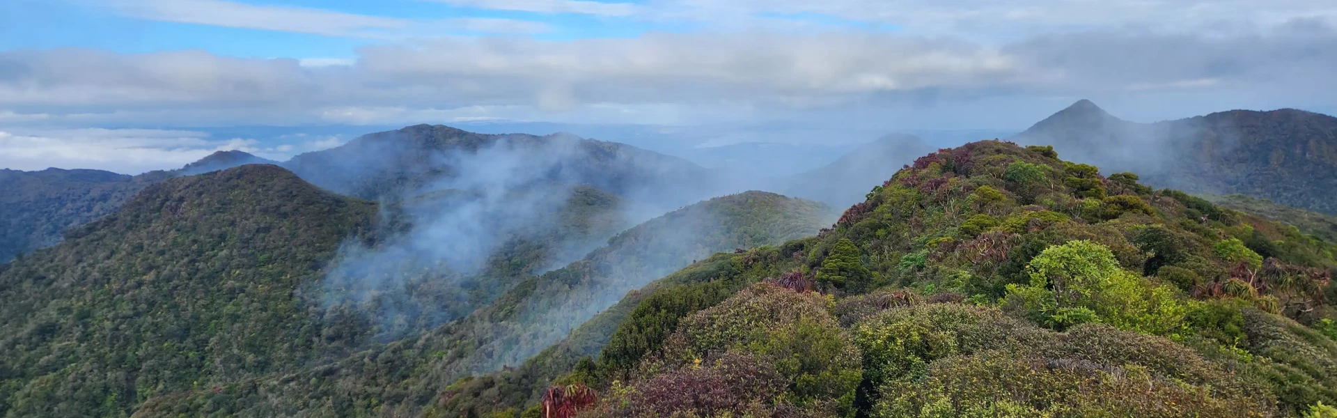
Combine Tahuanui Track with Bell Track for an overnight circuit to Pāhautea Hut and Mount Pirongia.
Distance
27.9 km
Walking time
2 days
Difficulty
Advanced
Dogs
Not allowed
Wheelchair access
Not marked friendly
Current status
Weather outlook
Issued 10 Oct 2026, 4:55 pm
10 October 2026
Mostly cloudy, with the odd shower. Northeasterlies.
11 October 2026
Showers, possibly heavy, clearing to fine spells in the afternoon. Periods of rain developing in the evening. Northwesterlies.
12 October 2026
Occasional rain, clearing north of Hamilton in the evening but remaining cloudy. Northerlies developing for a time in the morning and afternoon.
13 October 2026
A few showers. Northwesterlies, dying out in the evening.
14 October 2026
A few showers. Northwesterlies developing in the morning.
Regional guidance only; elevation and terrain can produce different conditions.
Explore the area
Explore the track route and surrounding area before you set out.
Tahuanui Track (4 - 5 hours, 10.7 km) Follow the Nikau Walk to the campsite. The Tahuanui Track leaves the campsite beside the stream and climbs steadily up a ridge to join the Tirohanga Track before the summit. From the summit, it is a 30-minute traverse to Pahautea Hut. This track is part of Te Araroa - New Zealand's trail from Cape Reinga to Bluff. Bell Track (6 - 10 hours, 18.5 km) From Pahautea Hut, head down the ridge to the Cone, which is the second highest point on the mountain. There are a few steep drop off's along this section. Below this, the track becomes quite muddy and continues along the ridge to a clearing, signposted as the halfway point, which has a small stream nearby and is a good campsite. From here, you’ll descend the ridge through a series of clearings until you come to the Big Kahikatea. Cross the bridge and the track becomes a much easier stroll past the Kaniwhaniwha Caves and back to Kaniwhaniwha campsite.
A good level of fitness is required for these tracks. The high-level tracks on Pirongia follow steep-sided ridges. Water is difficult to find, especially in summer, so be sure to take sufficient drinking water with you. Because of poorly drained soils, the tracks can be very muddy, especially after rain.
Pahautea Hut is a 20-bunk hut close to the summit of Pirongia. Bookings are required. There is also a campsite next to the hut with 7 tent pads and a cooking shelter. Bookings also required.
These tracks are both accessed via the Nikau Walk, which starts from the Kaniwhaniwha carpark on Limeworks Loop Road. Use this location in Google Maps to find your way there.
We encourage you to continue gaining the skills and knowledge required for a safe trip. The NZ Mountain Safety Council has lots of free resources and information you can use. These can be accessed via www.mountainsafety.org.nz . We recommend trying these online learning tools: Trip Planning Tramping / field Skills Basic Navigation River Safety Additionally, check out the range of helpful videos available from the NZ Mountain Safety Council YouTube channel .
It rains a lot on Pirongia - be prepared for cold, wet weather and always take a dry change of clothes with you. Heavy rain and strong winds are most likely from the west.
No dogs.
Track information, access and weather can change. Confirm current alerts and land-manager information close to departure, tell someone your plans, and carry equipment appropriate for the route and conditions.