08 October 2026
Mostly cloudy with patchy drizzle, clearing in the morning as fine breaks develop. Northeasterlies.
Loading outdoor place details…
Dunedin area
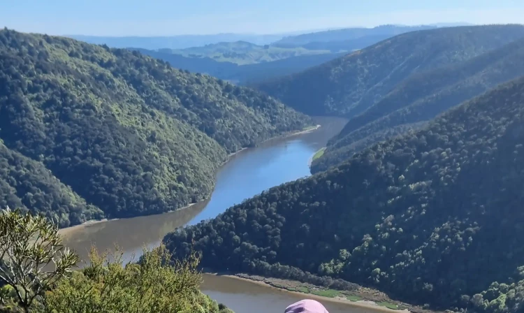
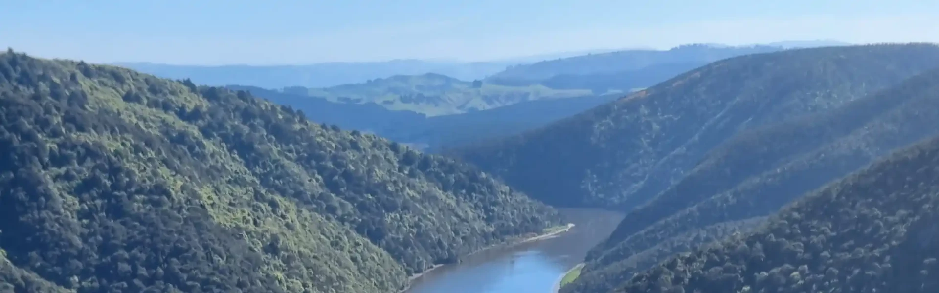
An interesting walk in the Taieri Gorge that travels alongside the Taieri River and passes through several different types of vegetation.
Distance
8 km
Walking time
4 hr return
Difficulty
Easy
Dogs
Not allowed
Wheelchair access
Not marked friendly
Current status
No active alerts found. Conditions can still change, so check again before leaving.
Weather outlook
Issued 8 Oct 2026, 11:31 am
08 October 2026
Mostly cloudy with patchy drizzle, clearing in the morning as fine breaks develop. Northeasterlies.
09 October 2026
Fine. Easterlies developing for a time in the afternoon.
10 October 2026
Fine. Northeasterlies developing in the morning.
11 October 2026
Mainly fine, but isolated showers in the afternoon. Light winds.
12 October 2026
Fine. Light winds.
Regional guidance only; elevation and terrain can produce different conditions.
Explore the area
Explore the track route and surrounding area before you set out.
The Taieri River Gorge stretches 8 km inland from the river mouth. The Taieri River Track is a 4 km one-way, undulating walk to the John Bull Gully picnic area. The track winds through a variety of vegetation and terrain. In its early stages, it skirts the tidal lower reaches of the river, where both freshwater and salt-tolerant plant species can be seen. As the track climbs slightly, it enters lush podocarp forest featuring superb specimens of Hall’s tōtara, kātote (tree fern), and miro. There are also healthy, regenerating stands of kahikatea—New Zealand’s tallest native tree. Because kahikatea prefer fertile soils often converted to farmland, regenerating stands like these are rare. Beyond the forest, the track passes through open shrubland before descending to the John Bull Gully picnic area. From here, you can return the same way for great views of Taieri Mouth and Moturata/Taieri Island, or continue on the Clutha District Council’s Millennium Track. This extends approximately 4 km further to connect with Taieri Ferry Road, which leads to SH1.
The track can be muddy and slippery in some parts – good footwear is essential. The Taieri River is prone to flooding during periods of heavy rain fall. Avoid the area during and immediately after periods of heavy rain.
To reach Taieri Mouth take the coastal road, south of Dunedin, via Green Island and Brighton to Taieri Mouth. Cross the bridge and turn right to reach the track start. Use this location on Google Maps to help find your way there.
We encourage you to continue gaining the skills and knowledge required for a safe trip. The NZ Mountain Safety Council has lots of free resources and information you can use. These can be accessed via www.mountainsafety.org.nz . We recommend trying these online learning tools: Trip Planning Tramping / field Skills Basic Navigation River Safety Additionally, check out the range of helpful videos available from the NZ Mountain Safety Council YouTube channel
No dogs.
Track information, access and weather can change. Confirm current alerts and land-manager information close to departure, tell someone your plans, and carry equipment appropriate for the route and conditions.