11 October 2026
Fine, then the odd shower developing in the afternoon. Northwesterlies developing in the morning, turning southwesterly early afternoon, dying out in the evening.
Loading outdoor place details…
Catlins coastal area
Thisbe Valley Track leads through Catlins Conservation Park to Maclennan Hut.
Distance
8.8 km
Difficulty
Advanced
Dogs
Allowed — check local rules
Wheelchair access
Not marked friendly
Current status
No active alerts found. Conditions can still change, so check again before leaving.
Weather outlook
Issued 11 Oct 2026, 5:43 am
11 October 2026
Fine, then the odd shower developing in the afternoon. Northwesterlies developing in the morning, turning southwesterly early afternoon, dying out in the evening.
12 October 2026
Fine. Westerlies developing for a time in the afternoon.
13 October 2026
Fine, then occasional rain from afternoon. Northwesterlies.
14 October 2026
Rain becoming persistent in the morning. Easterlies.
15 October 2026
Occasional rain. Southeasterlies, dying out.
Regional guidance only; elevation and terrain can produce different conditions.
Explore the area
Explore the track route and surrounding area before you set out.
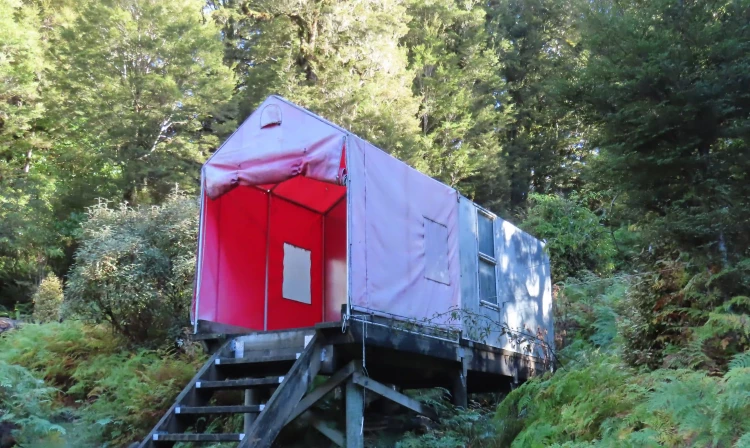
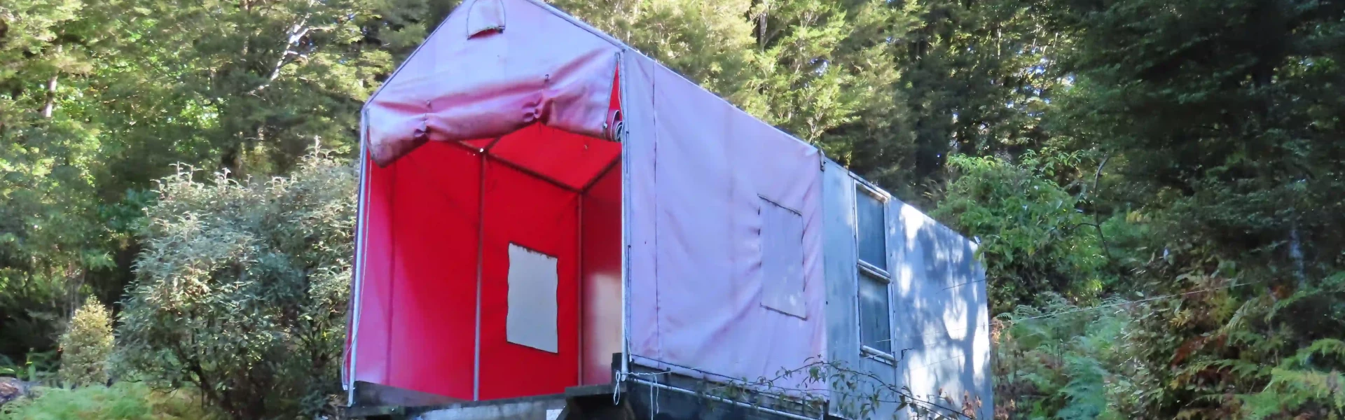
You need to cross private land to get to Thisbe Valley Track and McLennan Hut. You can only do this with permission from the landowner. Contact: Josh Carins +64 27 534 3866 From the road, follow the 4WD track across private farmland to the Catlins Conservation Park boundary. There are 3 shallow fords crossing the creek on this 4wd track. From here you can just see the 3 huts making up Thisbe Bivvy, owned by DoC for their Mohua monitoring programme. Both the toilets and bivvies are available for public use. The track then follows Thisbe Stream up the valley, all the way to its headwaters. The bush track starts along the fence line on your right when facing the bivvies. It is very well marked with orange triangles and old permalat red and white flashes. There are also many other coloured triangles and name plates related to the trapping and monitoring programme. The track follows the true right of the tiny Thisbe Stream through silver beech, with tree ferns near the stream. It’s easy walking clearly visible through the crown ferns that cover the ground. At one point it crosses the stream then a few metres along crosses back. The track passes near Calliope Saddle, before dropping down to Maclennan River near its confluence with Kaka Stream. At this point, the track crosses Maclennan River. This is a significant river crossing and there is no bridge. Carry a tent or an emergency shelter, in case the river is up and it is not possible to cross. After crossing the river, follow the track upstream for a short distance and you will reach Maclennan Hut. Above the hut, the track continues up the river for roughly another 1-2km for those interested in exploring further up the valley.
River crossings There are many unbridged stream crossings on the track, and one significant river crossing at Maclennan River. The river crossing will be difficult and dangerous when the river is high or flooding. Do not cross if the river is flooded, you cannot find safe entry and exit points or are unsure it’s safe. Turn back or wait for the river to drop. If in doubt, stay out. Carry a tent or emergency shelter, in case the river is too high to cross, and spare food. Follow orange markers to stay on the correct track Catlins Conservation Park is an important biodiversity area and there are lots of small tracks/trapping routes branching off which are not on the map. These are marked with other colours and styles of track marking.
Maclennan Hut is a basic two-bunk hut in the Caitlins. Bring a tent in case anyone else is there, or if you need to wait for the river levels to drop before crossing, however Josh should have a good idea if anyone else is planning to be there.
The track entrance is at the Catlins Conservation Park boundary. Park on Cairn Road just near the junction with Chloris Pass Road, and then cross the private farmland from Cairn Road. Please keep access to the woolshed clear. Use this location in Google Maps to find your way there.
We encourage you to continue gaining the skills and knowledge required for a safe trip. The NZ Mountain Safety Council has lots of free resources and information you can use. These can be accessed via www.mountainsafety.org.nz . Level up in your outdoor knowledge with these interactive online learning tools: Trip Planning Tramping / field Skills Basic Navigation River Safety Additionally, check out the range of helpful videos available from the NZ Mountain Safety Council YouTube channel .
Dogs allowed. Keep dog under control at all times.
Track information, access and weather can change. Confirm current alerts and land-manager information close to departure, tell someone your plans, and carry equipment appropriate for the route and conditions.