11 October 2026
Cloudy with showers, mainly about the Sounds and inland ranges, clearing and becoming mainly fine late afternoon. Northwesterlies but northeasterlies about Kaikoura Coast, strong at times, easing everywhere in the evening.
Loading outdoor place details…
Molesworth Recreation Reserve
These tracks offer spectacular views of the surrounding valleys.
Distance
7.67 km
Walking time
Trig Lookout - 50 min / Mount Chisolm - 2hr 40 min
Difficulty
Intermediate
Dogs
Not allowed
Wheelchair access
Not marked friendly
Current status
No active alerts found. Conditions can still change, so check again before leaving.
Weather outlook
Issued 10 Oct 2026, 11:01 pm
11 October 2026
Cloudy with showers, mainly about the Sounds and inland ranges, clearing and becoming mainly fine late afternoon. Northwesterlies but northeasterlies about Kaikoura Coast, strong at times, easing everywhere in the evening.
12 October 2026
Fine. Light winds, then northerlies developing in the afternoon.
13 October 2026
Mainly fine, but isolated showers in the morning and afternoon. Northwesterlies.
14 October 2026
Showers developing in the morning. Northerlies developing in the morning.
15 October 2026
Showers, some heavy. Southeasterlies developing.
Regional guidance only; elevation and terrain can produce different conditions.
Explore the area
Explore the track route and surrounding area before you set out.
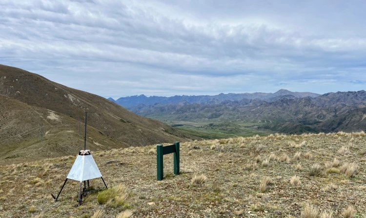
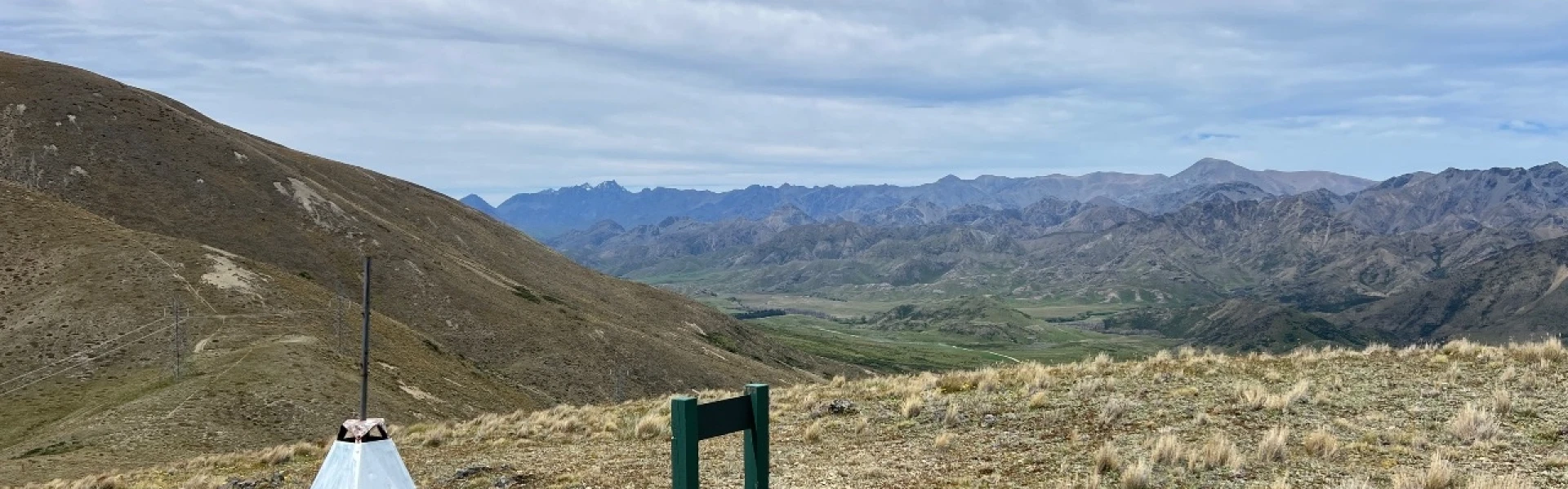
The track to Trig Lookout and Mount Chisholm begins at the car park on the Molesworth side of Wards Pass. From here, follow the 4WD track to a junction where signposts point the way to Trig Lookout and Mount Chisholm. From the summit, you’ll be rewarded with panoramic views; east over the Awatere Valley and Inland Kaikōura Ranges, northwest towards the Acheron Valley, and south across Isolated Flat and Mount Barefell. This is a marked tramping track with poles. It is unformed, steep in places, and rough underfoot, so best suited to fit and experienced walkers.
From Blenheim, follow State Highway One south, then turn right at the Awatere Valley intersection just north of Seddon and the Awatere Valley Bridge. A sign here will indicate whether the Molesworth Road is open. Along the public Awatere Valley Road, picnic and toilet facilities are offered at the Marlborough District Council’s Blairich Recreation Reserve and the Hodder Bridge Picnic Area. Use this location in Google Maps to help find your way there.
We encourage you to continue gaining the skills and knowledge required for a safe trip. The NZ Mountain Safety Council has lots of free resources and information you can use. These can be accessed via www.mountainsafety.org.nz . Level up in your outdoor knowledge with these interactive online learning tools: Trip Planning Tramping / field Skills Basic Navigation River Safety Additionally, check out the range of helpful videos available from the NZ Mountain Safety Council YouTube channel .
No dogs.
Track information, access and weather can change. Confirm current alerts and land-manager information close to departure, tell someone your plans, and carry equipment appropriate for the route and conditions.