11 October 2026
Cloudy with showers, mainly about the Sounds and inland ranges, clearing and becoming mainly fine late afternoon. Northwesterlies but northeasterlies about Kaikoura Coast, strong at times, easing everywhere in the evening.
Loading outdoor place details…
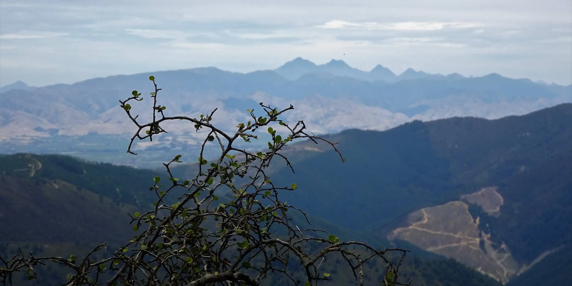
Mount Richmond Forest Park
This walkway follows an old goldminer's trail across the range between the Wairau Valley and Linkwater. It can be walked or ridden in one day, but you will need to arrange transport between the road ends.
Distance
15 km
Walking time
5 hr
Difficulty
Advanced
Dogs
Allowed — check local rules
Wheelchair access
Not marked friendly
Current status
No active alerts found. Conditions can still change, so check again before leaving.
Weather outlook
Issued 10 Oct 2026, 11:01 pm
11 October 2026
Cloudy with showers, mainly about the Sounds and inland ranges, clearing and becoming mainly fine late afternoon. Northwesterlies but northeasterlies about Kaikoura Coast, strong at times, easing everywhere in the evening.
12 October 2026
Fine. Light winds, then northerlies developing in the afternoon.
13 October 2026
Mainly fine, but isolated showers in the morning and afternoon. Northwesterlies.
14 October 2026
Showers developing in the morning. Northerlies developing in the morning.
15 October 2026
Showers, some heavy. Southeasterlies developing.
Regional guidance only; elevation and terrain can produce different conditions.
Explore the area
Explore the track route and surrounding area before you set out.
Waikakaho Valley to 'Village Clearing' Time : 2 hr From the farm house, the road continues between other farm buildings and yards, and through several gates for two kilometres to a parking area beside the Waikakaho River. Just before this crossing you will see, on each side of the stream, sheds surrounded by buckets and machinery. Each shed covers the entrance to a deep (20m) shaft. The shafts were dug during the 1930s. A tunnel links them deep under the river, with a number of short exploratory drives extending back up into the bedrock base of the river. These sheds are on private land and access to them is not available without the owners' permission. Cross Golden Belt Stream and climb gradually on the eastern face of this spur through scrub and pasture before crossing to the western face and climbing all the way to village clearing, zigzagging occasionally. The Village Clearing This terraced clearing was the centre of activity during the quartz extracting period. In its heyday there were about 200 men employed in the mining or processing of quartz. Now, only the remains of stone chimneys, foundations and rock-lined pools are left. About five minutes above the clearing, a side track leads to the entrance of a drive which extends over 100 metres into the rock. It is not maintained and should not be entered. Village Clearing to Waikakaho Saddle Time : 30 min The main track leaves the village and zigzags before climbing steadily to the saddle. Waikakaho Saddle to Cullen Creek Time : 1 hr Beyond the saddle the track is a little rougher. It sidles to the left and descends gradually for about 30 minutes to a small grassy clearing. From the clearing the track follows a spur down through forest to a bracken-covered face planted in pine trees. The track, marked with poles, now zigzags down this face to a private hut on a terrace high above Cullen Creek. This section is quite steep; extra time should be allowed for climbing in the reverse direction. Private hut to the road end Time : 1 hr 30 min From the hut terrace the old track is rejoined. It descends steeply to cross Prospector Creek. On the other bank it begins a spectacular sidle above the Creek, hewn in places out of near-vertical rock walls by the miners. It eventually descends and crosses Cullen Creek to the road end and the site of the former mining town, Cullensville. Mountain biking The Waikakaho Track is open for mountain biking and best ridden from south to north. Mountain bikers must stay in control of their bikes and give way to walkers.
The streams at both road ends and those flowing into Cullen Creek are unbridged and become impassable after heavy rain. Dogs with Department of Conservation permit only. Do not enter any mine shafts or the sheds beside the road at the Waikakaho end of the track. Please keep to the marked track and leave all gates as you found them. The track passes through very steep terrain in the lower Cullen Creek area.
Access to the start of the track at the northern end is at Cullen Creek Valley from Linkwater. The track entrance is through private land. Use this location in Google Maps to find your way there. In the south the track begins at the end of Waikak aho Road. Use this location in Google Maps to find your way there.
We encourage you to continue gaining the skills and knowledge required for a safe trip. The NZ Mountain Safety Council has lots of free resources and information you can use. These can be accessed via www.mountainsafety.org.nz . We recommend trying these online learning tools: Trip Planning Tramping / field Skills Basic Navigation River Safety Additionally, check out the range of helpful videos available from the NZ Mountain Safety Council YouTube channel .
Dogs with a DOC permit only. Contact closest DOC office to get a permit.
Track information, access and weather can change. Confirm current alerts and land-manager information close to departure, tell someone your plans, and carry equipment appropriate for the route and conditions.