10 October 2026
Mostly cloudy. A few showers about the Sounds and inland ranges, possibly heavy from afternoon. Northeasterlies, strong at times about the Kaikoura Coast from afternoon.
Loading outdoor place details…
Mount Richmond Forest Park
Follow in the footsteps of old goldminers on the Wakamarina Track to cross the Richmond Range from the Wairau Valley to the Wakamarina Valley.
Distance
21.3 km
Walking time
7 hrs (south to north)
Difficulty
Advanced
Dogs
Allowed — check local rules
Wheelchair access
Not marked friendly
Current status
No active alerts found. Conditions can still change, so check again before leaving.
Weather outlook
Issued 10 Oct 2026, 4:55 pm
10 October 2026
Mostly cloudy. A few showers about the Sounds and inland ranges, possibly heavy from afternoon. Northeasterlies, strong at times about the Kaikoura Coast from afternoon.
11 October 2026
Cloudy with showers, mainly about the Sounds and inland ranges, clearing and becoming mainly fine late afternoon. Northwesterlies but northeasterlies about Kaikoura Coast, strong at times, easing everywhere in the evening.
12 October 2026
Fine. Northerlies developing in the morning.
13 October 2026
Mostly cloudy with isolated showers, clearing to fine in the afternoon. Northwesterlies developing in the morning.
14 October 2026
Mostly cloudy with isolated showers, turning to rain in the afternoon. Northwesterlies, dying out in the evening.
Regional guidance only; elevation and terrain can produce different conditions.
Explore the area
Explore the track route and surrounding area before you set out.
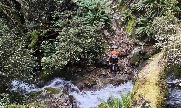
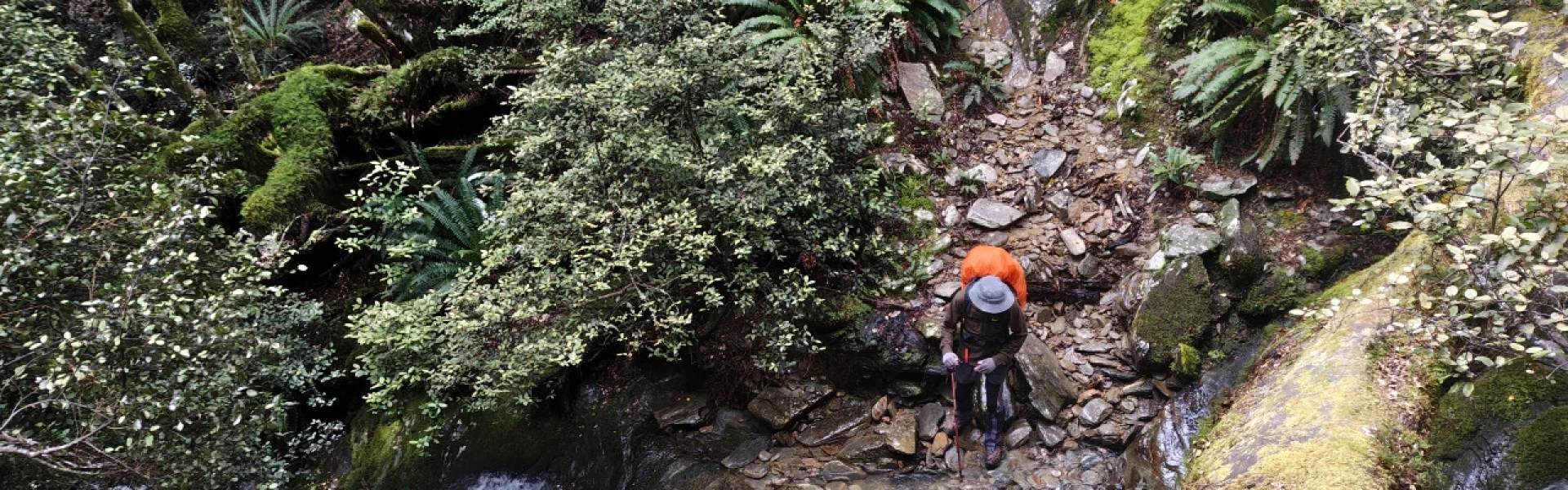
The Wakamarina Track is a popular choice for trampers of all levels and mountain bikers. It is an easy weekend trip with the option of an overnight stay at Devils Creek Hut. The route is best walked or ridden from south to north, as described below. Kiwi Road to Foster’s Clearing Time: 2 hr From the car park on Kiwi Road a well-graded track follows the eastern side of Bartletts Ridge before crossing the head of Bartletts Creek and climbing to the Foster Creek– Bartletts Creek saddle, known as Foster’s Clearing. A short side track leads east up the ridge to Foster’s Hut. Fosters Clearing to Devil’s Creek Hut Time: 3 hr Below Foster’s Clearing the track descends into the head of Foster Creek, skirting around its headwaters and crossing a series of schist creeks. It then climbs to a saddle between Foster and Devil’s Creeks. From this saddle the track climbs along the Devil’s Creek–Foster Creek ridge and then descends to the benched track of the main Wakamarina Valley. The hut is just five minutes away, in a large clearing on a terrace above the Wakamarina River. Devil’s Creek Hut to Butchers Flat Time: 2 hr From Devil’s Creek Hut a benched track sidles above the river, eventually leaving the beech forest and crossing a burnt-over face to Doom Creek. A bridge crosses Doom Creek before a short climb up to the benched track that leads to the road end at Butchers Flat. Side trip: Doom Track Time: 2 hr return A good short walk from the Havelock side / Wakamarina / Butchers Flat end of the track. This wide, benched and historically significant tramping track leaves the main track near Doom Creek. It follows the old water race which delivered water from Foster and Doom Creeks to the quartz crushing battery of the Golden Bar Claim at Deep Creek. Take care as the track crosses two deep and wide unbridged creeks which are at least knee height. Do not cross during or after heavy rain. There are multiple mine shafts in the bush around the track so do not leave the track or let children or dogs wander off track as there could be unknown shafts. The known ones near the track are fenced.
This is a challenging shared-use track with steep sections, particularly during or after wet weather. It is grade 3 (intermediate) to grade 5 (expert). Mountain bikers could complete the trip in one day, and it is best ridden from Onamalutu Reserve (Blenheim end) to Canvastown (Havelock end). From the carpark the well-graded track climbs steadily to Fosters Clearing, which takes about an hour or two to reach. From there, the track gradually descends with some technical sections before crossing a creek and beginning another climb. About 15 minutes after the creek, you’ll start a 25-minute section where you'll need to carry and push your bike to the highest point of the ride. At the high point, the marked track veers left and follows a ridge—be sure to keep an eye on the orange markers. The route includes some technical root sections before descending 800 meters through a series of switchbacks down to the Wakamarina Valley at Devils Slab Hut. From here, the riding becomes mostly non-technical as the track sidles high on the true right of the Wakamarina River before dropping down to cross Doom Creek via a bridge. There is a steep but rideable climb from the bridge up to the Doom Creek loop track, followed by an easy 10-minute ride out to the road end. Alternatively, just before you descend to Doom Creek, you can take a detour up Doom Creek and follow a water race, which adds about an hour to the ride. Follow the mountain bikers code: respect others, respect the rules, respect the track.
This is a shared-use track. Dogs are allowed in this area with a permit. A maximum of four dogs per party is allowed. Contact the Department of Conservation Nelson Visitor Centre for permits. The track is rough in places and care must be taken. The weather is changeable, especially at high altitudes, so take warm, waterproof clothing and plenty of food. Remember your safety is your responsibility. There are multiple mine shafts in the bush around the track so do not leave the track or let children or dogs wander off track as there could be unknown shafts.
Butcher's Flat Campsite Fosters Hut Devil's Creek Hut
Blenheim side Turn off State Highway 6 on to Northbank Road 6 km north of Renwick – 16 km from Blenheim. Follow Northbank Road for 5 km, then Onamalutu Road for 11 km Continue past Onamalutu Domain, to Flowers Creek ford. A final 5 km up Kiwi Road leads to the car park at the start of the track. Use this link on Google Maps to help find your way there. Before planning to use this access, always check the status of this track. Road access is also possible from Bartletts Valley. Havelock side Access to the track is via Wakamarina Road from Canvastown 9 km west of Havelock on SH6 between Nelson and Blenheim. This road is narrow, winding gravel road. There are also two steep fords near the campsite which are difficult for long campervans, vehicles with long overhangs and caravans. The section of track from Butchers Flat carpark is no longer accessible to 4WD vehicles. Track users must park at the carpark and either walk or cycle to the track start. Use this link on Google Maps to help find your way there.
We encourage you to continue gaining the skills and knowledge required for a safe trip. The NZ Mountain Safety Council has lots of free resources and information you can use. These can be accessed via www.mountainsafety.org.nz . We recommend trying these online learning tools: Trip Planning Tramping / field Skills Basic Navigation River Safety Additionally, check out the range of helpful videos available from the NZ Mountain Safety Council YouTube channel
Dogs with a DOC permit only. Contact closest DOC office to get a permit.
Track information, access and weather can change. Confirm current alerts and land-manager information close to departure, tell someone your plans, and carry equipment appropriate for the route and conditions.