11 October 2026
Showers, possibly heavy, clearing in the afternoon with increasing fine spells. Northerlies, turning westerly around midday.
Loading outdoor place details…
Taupō area
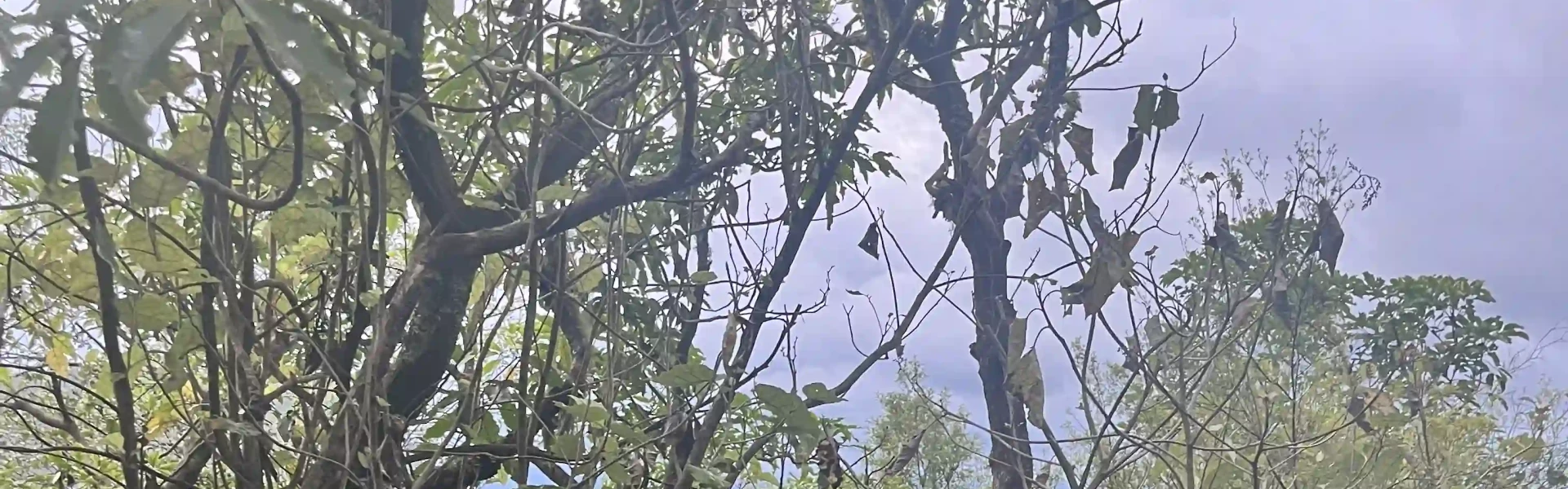
Walk or ride over the headland between Whakaipo and Whangamata bays and enjoy the lake views and native bush.
Distance
14 km
Walking time
4 hr 30 min | 7 hr 30 mi hr
Difficulty
Easy
Dogs
Allowed — check local rules
Wheelchair access
Not marked friendly
Current status
No active alerts found. Conditions can still change, so check again before leaving.
Weather outlook
Issued 10 Oct 2026, 11:01 pm
11 October 2026
Showers, possibly heavy, clearing in the afternoon with increasing fine spells. Northerlies, turning westerly around midday.
12 October 2026
A few showers. Northwesterlies developing for a time in the afternoon and evening.
13 October 2026
A few showers. Northwesterlies.
14 October 2026
Partly cloudy with isolated showers developing in the afternoon. Northwesterlies developing in the morning.
15 October 2026
A few showers, some possibly heavy. Northwesterlies.
Regional guidance only; elevation and terrain can produce different conditions.
Explore the area
Explore the track route and surrounding area before you set out.
This track can be started at either end, but is described here from Kinloch, from where it loops over the eastern peninsula of Whangamata Bay and into Whakaipo Bay. This section has two distance options. The loop is 13km in length, with a few scenic stops along the route. The Headland Loop Trail adds on an additional 9.5km and is a little more physical than the main route. The ducking and diving through the trees as the trail twists lengthens the route, but you will find yourself out on the edge of the peninsula with stunning vistas over Lake Taupo. Kinloch to Whakaipo Bay (W2K) Time (one way): 4 hr 30 min walk, 2 hr mountain bike Distance: 13 km At the Kinloch Domain you will find a shelter with a map and bike washdown area. Start the W2K trail from here. Follow the markers around the marina, along the lakefront and then up a gully to Boojum Dell. The W2K Trail heads up the hill from here, climbing steadily up through native bush and onto the headland, providing spectacular views across Lake Taupo to the mountains of Tongariro National Park as well as back down to Kinloch. Once on top of the headland the trail starts a long, flowing descent down to Whakaipo Bay. Headland Loop Trail Time (one way): 3 hr walk, 1 hr 30 min mountain bike Distance: 9.5 km From this point at the top of the headland, there is the optional Headland Loop Trail, a 9.5 km trail that follows the top of the Whangamata Bluffs out to the end of the headland then back around the other side to the point at which you started. There are more stunning views to be had from this trail out towards the Kaimanawa Ranges, the Karangahape Cliffs and Tongariro National Park to the south. There is also a short lookout trail off this loop that offers views of Kinloch and Whangamata Bay. From the Headland Loop junction, head on down the long, flowing descent through the bush to Whakaipo Bay. This beautiful bay is a very popular swimming and picnic spot with its crystal clear water and wide open spaces.
This is a shared-use track. Toilets are available at Whakaipo Bay Reserve. There is a fire ban is in place all year round. Camping is not permitted unless you are in a self-contained vehicle. Love Taupo have fantastic videos of the tracks.
The trail starts at the eastern end of the village and is a short walk from the carpark. Make sure you arrange for your shuttle pick up at the other side of the trail to return you to Kinloch. Use this location in Google Maps to find your way there.
We encourage you to continue gaining the skills and knowledge required for a safe trip. The NZ Mountain Safety Council has lots of free resources and information you can use. These can be accessed via www.mountainsafety.org.nz . We recommend trying these online learning tools: Trip Planning Tramping / field Skills Basic Navigation River Safety Additionally, check out the range of helpful videos available from the NZ Mountain Safety Council YouTube channel .
Dogs allowed. Keep dog under control at all times.
Track information, access and weather can change. Confirm current alerts and land-manager information close to departure, tell someone your plans, and carry equipment appropriate for the route and conditions.