11 October 2026
Mainly fine, with areas of early morning fog. Showers developing in the afternoon, possibly heavy with thunderstorms and hail, clearing in the evening. Northwesterlies developing for a time in the morning and afternoon.
Loading outdoor place details…
Napier area
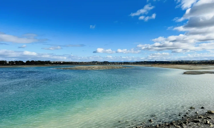
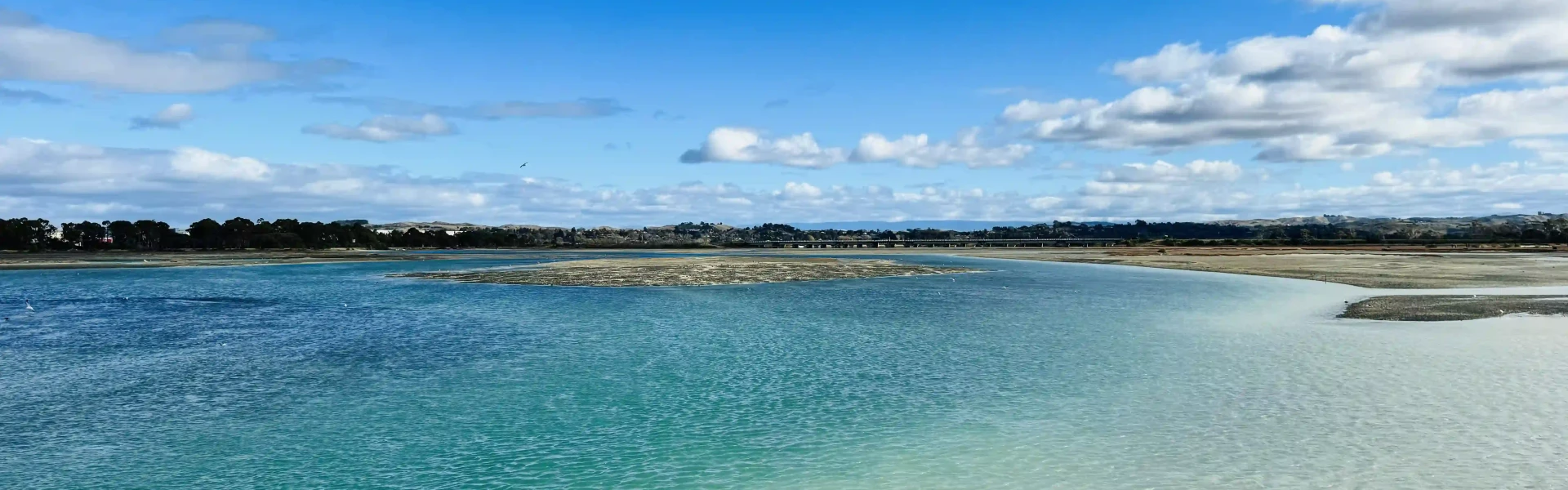
View a community of wading birds, fish, mud dwellers and aquatic plant life from the estuary track and boardwalk. Over 70 species of resident and migratory waterbirds use the estuary as a feeding and resting area.
Distance
3.9 km
Walking time
1 hr
Difficulty
Easy
Dogs
Not allowed
Wheelchair access
Not marked friendly
Current status
No active alerts found. Conditions can still change, so check again before leaving.
Weather outlook
Issued 10 Oct 2026, 11:01 pm
11 October 2026
Mainly fine, with areas of early morning fog. Showers developing in the afternoon, possibly heavy with thunderstorms and hail, clearing in the evening. Northwesterlies developing for a time in the morning and afternoon.
12 October 2026
Fine. Easterlies developing for a time in the afternoon.
13 October 2026
Fine. Northwesterlies developing in the morning.
14 October 2026
Fine apart from isolated showers. Northwesterlies.
15 October 2026
Showers developing. Northerlies, turning westerly.
Regional guidance only; elevation and terrain can produce different conditions.
Explore the area
Explore the track route and surrounding area before you set out.
This easy loop track around the Ahuriri Wildlife Refuge is a great walk to do with the family. The terrain includes gravel tracks, asphalt sections and boardwalks. Plenty of signage is available to learn about the 70 species of waterbirds, both migratory and resident, that feed and rest in the area at different times of the year. If you are interested in observing birds, binoculars are essential. You might observe: godwits, knots, golden plover, wrybills, oystercatchers, pied stilts and royal spoonbills, depending on the season.
Cycling is allowed in some sections of the track. Dog walking is not permitted because of the impact on the numerous bird species that use the area. The area is exposed with little shelter, so be prepared for the weather conditions.
Access via Humber St, off Pandora Road, Napier. Use this link to google maps to find your way there.
We encourage you to continue gaining the skills and knowledge required for a safe trip. The NZ Mountain Safety Council has lots of free resources and information you can use. These can be accessed via www.mountainsafety.org.nz . We recommend trying these online learning tools: Trip Planning Tramping / field Skills Basic Navigation River Safety Additionally, check out the range of helpful videos available from the NZ Mountain Safety Council YouTube channel
No dogs.
Track information, access and weather can change. Confirm current alerts and land-manager information close to departure, tell someone your plans, and carry equipment appropriate for the route and conditions.