09 October 2026
Cloudy periods with isolated afternoon showers about the inland ranges. Cloud lowering this evening. Easterlies, easing about the Sounds this evening.
Loading outdoor place details…
Mount Richmond Forest Park
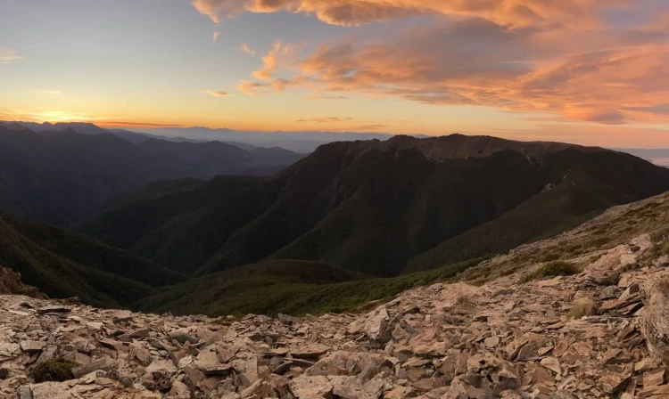
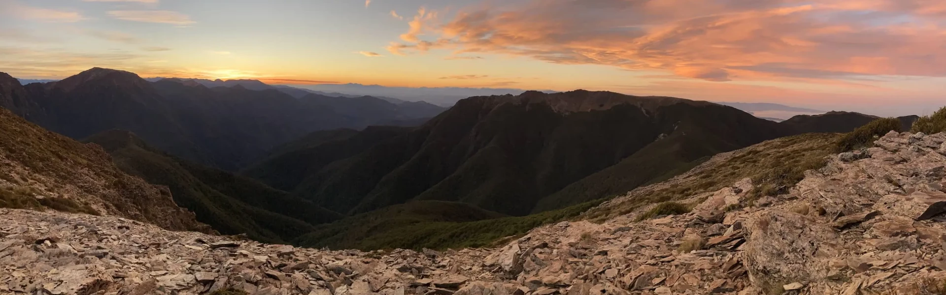
This challenging trip above the bushline in Mt Richmond Forest Park offers outstanding views over the Waimea Plains and the Inland Kaikoura Ranges. This track is part of Te Araroa Trail.
Distance
59 km
Walking time
4 - 5 days
Difficulty
Advanced, Expert
Dogs
Allowed — check local rules
Wheelchair access
Not marked friendly
Current status
Weather outlook
Issued 9 Oct 2026, 4:49 pm
09 October 2026
Cloudy periods with isolated afternoon showers about the inland ranges. Cloud lowering this evening. Easterlies, easing about the Sounds this evening.
10 October 2026
Low cloud lifting in the morning with showers developing about the Sounds and inland ranges. Northerlies, strong for a time about the Kaikoura Coast in the afternoon and evening.
11 October 2026
Showers becoming isolated with longer fine breaks in the morning. Possibly heavy and thundery with hail about the Kaikoura Coast in the afternoon and evening. Northerlies, turning westerly in the afternoon.
12 October 2026
Fine. Light winds.
13 October 2026
Fine. Northwesterlies.
Regional guidance only; elevation and terrain can produce different conditions.
Explore the area
Explore the track route and surrounding area before you set out.
Time required: 4-5 days. The Alpine Route is a challenging trip above the bushline in Mt Richmond Forest Park, which offers outstanding views over the Waimea Plains, toward Kahurangi and Abel Tasman National Parks, and to the rugged hills of South Marlborough and the Inland Kaikoura Ranges.
The route is only suitable for experienced and well-equipped groups. There is little or no formed track in many places, the terrain is steep and rugged with some exposed sections which are not for the faint-hearted. Good fitness and navigation skills are needed. Between Old Man and Rintoul Hut, the terrain is steep and broken and can be treacherously icy during winter. Particular care should be taken.
Bookings are not required for the huts, so bring a tent in case huts are full (this is common in the height of summer when Te Araroa Trail walkers are passing through the area).
Most trampers start from Aniseed Valley, 29 km south of Nelson and follow the Miner River past Hacket Hut and up to Starveall Hut. Use this location in Google Maps to find your way there. From Tarn Hut, they complete the trip by descending to either Wairoa road-end, inland from Wakefield, or to the Goulter road-end, on the north bank of the Wairau River. The Alpine Route is also accessible on tracks from the Goulter River, Lake Chalice, or via the Te Hoiere/Pelorus River.
We encourage you to continue gaining the skills and knowledge required for a safe trip. The NZ Mountain Safety Council has lots of free resources and information you can use. These can be accessed via www.mountainsafety.org.nz . We recommend trying these online learning tools: Trip Planning Tramping / field Skills Basic Navigation River Safety Additionally, check out the range of helpful videos available from the NZ Mountain Safety Council YouTube channel
Watch out for strong winds from the north and heavy rain from the west and north which will raise the level of rivers and could cause them to be unsafe to cross. Multiple Search and Rescue call-outs have occurred on this route and in the neighbouring Red Hills due to high/flooded rivers trapping or delaying walkers in the area. This needs to be well considered when planning to walk the Alpine Route and the Red Hills.
Dogs with a DOC permit only. Contact closest DOC office to get a permit.
Track information, access and weather can change. Confirm current alerts and land-manager information close to departure, tell someone your plans, and carry equipment appropriate for the route and conditions.