10 October 2026
Showers developing this morning, possibly heavy inland from afternoon, turning to rain at night. Northeasterlies developing this morning.
Loading outdoor place details…
Tasman
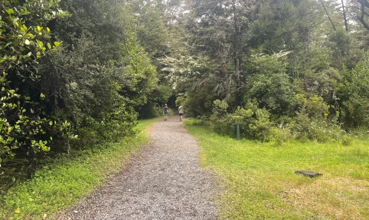
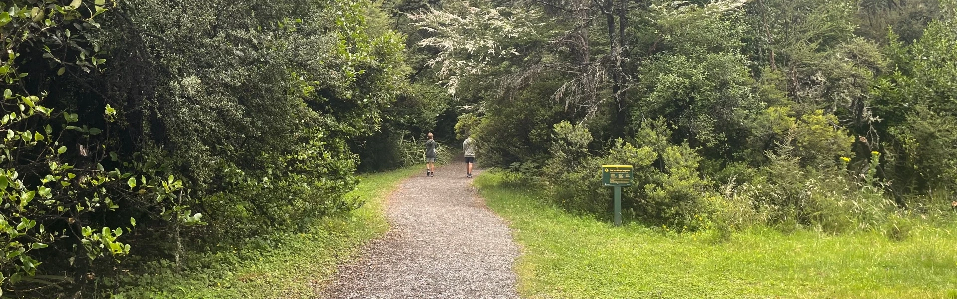
The short, wheelchair-standard Bellbird Walk gives an introduction to the Rotoiti Nature Recovery Project area. This sheltered corner of the lake attracts nectar-feeding birds such as tūī and bellbirds to the large red beech trees that dominate this area. Listen for their enchanting calls as you take this walk. Keep an eye out for other insect-eating forest birds as well.
Distance
0.4 km
Walking time
15 minutes
Difficulty
Easy
Dogs
Not allowed
Wheelchair access
Friendly
Current status
No active alerts found. Conditions can still change, so check again before leaving.
Weather outlook
Issued 10 Oct 2026, 10:55 am
10 October 2026
Showers developing this morning, possibly heavy inland from afternoon, turning to rain at night. Northeasterlies developing this morning.
11 October 2026
A few showers clearing to fine in the afternoon. Northerlies, dying out in the afternoon.
12 October 2026
Fine, but becoming mostly cloudy with isolated showers in the evening. Northerlies developing for a time in the afternoon.
13 October 2026
Occasional rain clearing in the afternoon, then partly cloudy. Light winds.
14 October 2026
Occasional rain, with some heavy falls. Northerlies, turning westerly in the afternoon.
Regional guidance only; elevation and terrain can produce different conditions.
Explore the area
Explore the track route and surrounding area before you set out.
Explore Kerr Bay on Lake Rotoiti on this wheelchair and pram accessible track. The track begins at the car park near the east jetty at Kerr Bay. Allow 5 minutes of walking time for this and 10 minutes or so to read the information panels along the way. The deciduous New Zealand fuchsia, which is rare in much of the forest due to browsing by possums, may be seen in several places along this walk. The pathway returns through a small wetland area where sedges, rushes, ferns and mosses thrive.
The walk starts at the end of Kerr Bay Road in St Arnaud.
This track is part of the Herenga ā Nuku Aotearoa track database. Herenga ā Nuku has maps and advice about public access to the outdoors . We encourage you to continue gaining the skills and knowledge required for a safe trip. The NZ Mountain Safety Council has lots of free resources and information you can use. These can be accessed via www.mountainsafety.org.nz . We recommend trying these online learning tools: Trip Planning Tramping/field Skills Basic Navigation River Safety Additionally, check out the range of helpful videos available from the NZ Mountain Safety Council YouTube channel .
Track information, access and weather can change. Confirm current alerts and land-manager information close to departure, tell someone your plans, and carry equipment appropriate for the route and conditions.