11 October 2026
Showers, becoming few and far between in the afternoon, then clearing to fine in the evening.
Loading outdoor place details…
Nelson Lakes National Park
Walk around Lake Rotoiti, surrounded by high mountain peaks. It's a great option for families with children and there is the option to catch a water taxi one way or to stay overnight in a hut. This track is part of Te Araroa Trail.
Distance
25 km
Walking time
7-10 hr
Difficulty
Advanced
Dogs
Not allowed
Wheelchair access
Not marked friendly
Current status
Weather outlook
Issued 11 Oct 2026, 7:33 am
11 October 2026
Showers, becoming few and far between in the afternoon, then clearing to fine in the evening.
12 October 2026
Fine, but becoming overcast in the evening.
13 October 2026
Showers.
14 October 2026
Rain, with heavy falls.
15 October 2026
Showers, some heavy, falling as snow above 1300 metres.
Regional guidance only; elevation and terrain can produce different conditions.
Explore the area
Explore the track route and surrounding area before you set out.
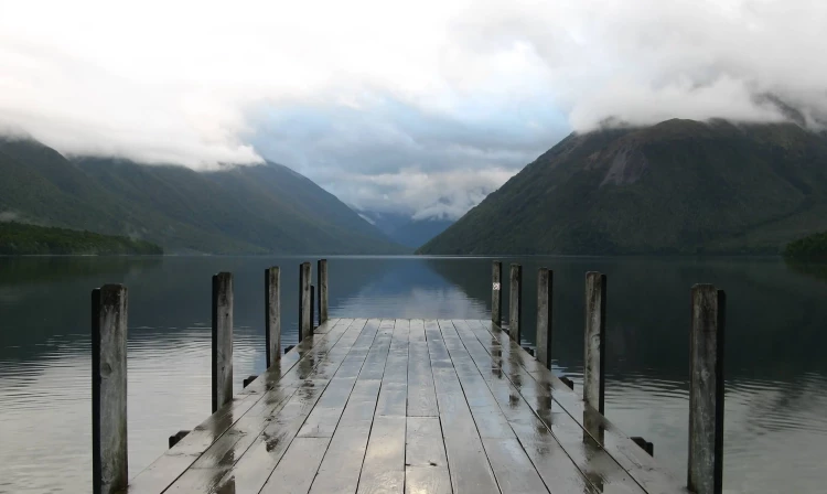
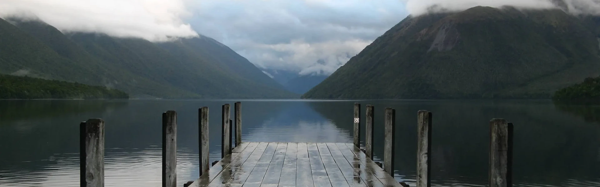
Beginning at the eastern end of Kerr Bay, the Lake Rotoiti Circuit/Lakehead Track follows the eastern shore of Lake Rotoiti, never deviating very far from the lake edge. The track passes through forest dominated by red beech, though there are many other species like Hall’s tōtara, southern rata, pokaka and kamahi. The track undulates across the toes of spurs descending from the St Arnaud Range above, and in a couple of sections the track clambers over scree slopes that descend off the range and into the lake. A jetty is located shortly before the head of the lake is reached, and Lakehead Hut is about half a kilometre past it. If the Travers River is low, you can cross the river opposite the hut to get to Coldwater Hut (50 minutes) and continue on the circuit; otherwise, there is a swingbridge 1 hour 30 minutes further up the Travers Valley. From Lakehead Hut to Coldwater Hut via the swingbridge is 3 hours. Coldwater Hut is located on the southern shore of the lake, next to where Travers River enters it. Being in the shadow of Robert Ridge, the hut has limited sunlight hours in winter and can be quite cold. A jetty outside the hut allows boat access. From Coldwater Hut at the lake edge, the Lakeside Track heads north along the western lake shore. An hour from the hut the track passes by a short side track to Whisky Falls. A visit to the cascading falls should definitely be on the list. Thundering from a height of 40m, it is somewhat of a hidden gem, nestled amongst the mosses in the rolling alpine valley. After another hour the track turns away from the lake and climbs to Mt Robert Road. Follow this for 2.1 km to the main car park at West Bay, and then continue along Brunner Peninsula Track which follows the lake edge and takes you back to your starting point at Kerr Bay. You can also cut a little bit off the distance by following the track that heads straight over the peninsula via the visitor centre.
Be prepared with warm and waterproof clothing. Nelson Lakes National Park is in an alpine area – freezing conditions can occur at any time of year. No rubbish facilities are provided – carry out all your rubbish. Biting sandflies are abundant in the summer months, bring a good repellant. Wasps are a known hazard and are particularly common from December until April – carry antihistamine if you are allergic to their stings.
There are two huts on the Lake Rotoiti Circuit. Lakehead Hut Coldwater Hut
Lake Rotoiti is easily accessible from the alpine village of St Arnaud. The Lake Rotoiti Circuit (also known as the Lakehead Track) begins at the end of Kerr Bay Rd. There is plenty of parking at the lake edge and next to the DOC campground. You will see a large information board with a map, and times and distances of the various tracks in the area. Use this location in Google Maps to find your way there.
We encourage you to continue gaining the skills and knowledge required for a safe trip. The NZ Mountain Safety Council has lots of free resources and information you can use. These can be accessed via www.mountainsafety.org.nz . We recommend trying these online learning tools: Trip planning Tramping / field Skills Basic Navigation River Safety Additionally, check out the range of helpful videos available from the NZ Mountain Safety Council YouTube channel .
No dogs.
Track information, access and weather can change. Confirm current alerts and land-manager information close to departure, tell someone your plans, and carry equipment appropriate for the route and conditions.