11 October 2026
Showers about the Divide, clearing early evening, otherwise fine.
Loading outdoor place details…
Queenstown area
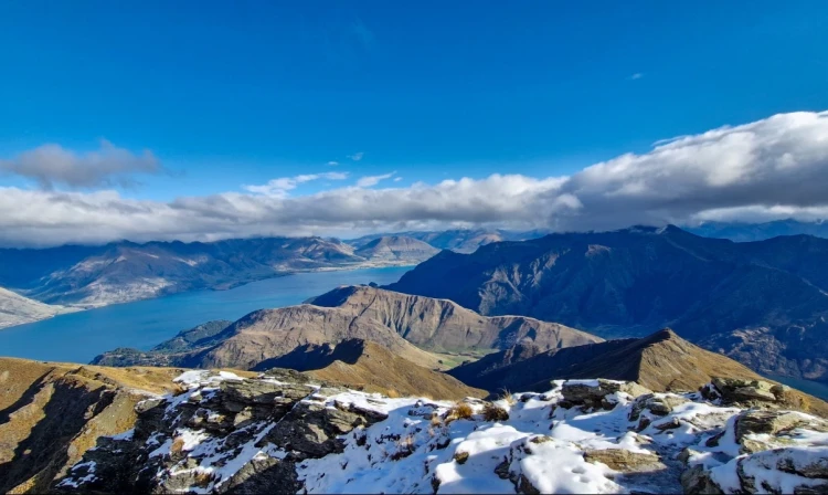
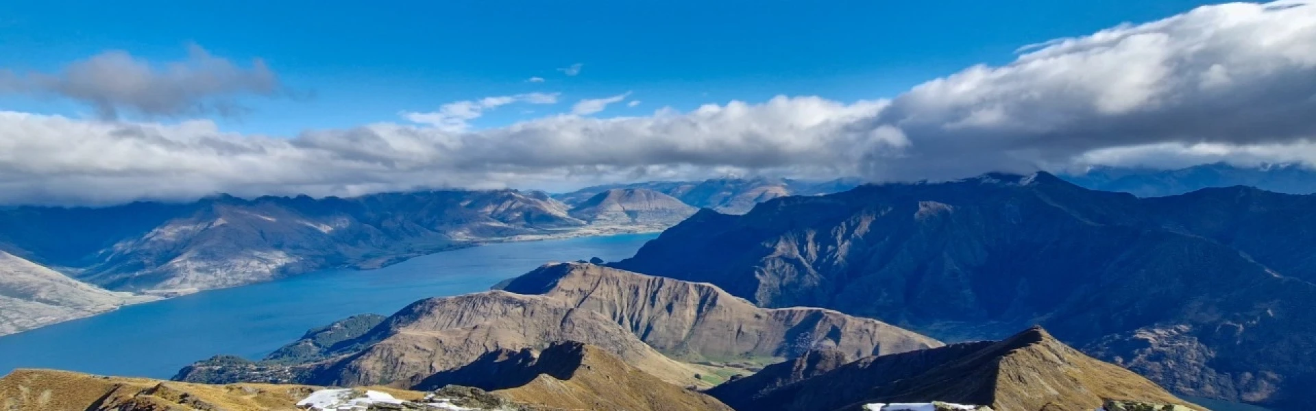
The Ben Lomond Track is a demanding climb and a full day's hike with an 1,438 m elevation gain when completed from Queenstown. On a clear day trampers are rewarded at the summit with spectacular panoramic views.
Distance
15 km
Walking time
6-8 hrs return
Difficulty
Advanced
Dogs
Not allowed
Wheelchair access
Not marked friendly
Current status
Weather outlook
Issued 10 Oct 2026, 9:23 pm
11 October 2026
Showers about the Divide, clearing early evening, otherwise fine.
12 October 2026
Fine.
13 October 2026
Rain developing.
14 October 2026
Heavy rain easing to showers. Snow lowering to 1900 metres.
15 October 2026
Showers developing. Snow lowering to 1100 metres.
Regional guidance only; elevation and terrain can produce different conditions.
Explore the area
Explore the track route and surrounding area before you set out.
The Ben Lomond Track rewards trampers with spectacular 360-degree views over Queenstown, Lake Wakatipu and the surrounding mountains. In fine weather, you may even spot Mt Pikirakatahi/Earnslaw and Mt Tititea/Aspiring in the distance The track begins among Douglas fir on Skyline Access Road or the Tiki Trail. At about 800 m altitude you leave the tree line behind to enter alpine tussocks and shrubs. Climb to the 1,326 m Ben Lomond Saddle. Beyond the saddle is Ben Lomond Station where the track becomes a marked route. From here, the terrain becomes steeper and rougher, with sections of scree as it approaches Ben Lomond's 1,748m summit. You will need quality boots or hiking shoes with good tread. Note: The section from the saddle to the summit crosses private land. Respect the landowner’s rights and keep to the formed track to avoid stock disturbance and farm hazards.
The weather changes rapidly in this region. Hypothermia is a real risk even in summer, so be prepared for it to be much colder at the top and pack warm and waterproof clothing. In the warmer months, heat, sun exposure and dehydration pose risks so make sure you are carrying sun protection and adequate water. Be aware of the many mountainbike tracks which cross the track. Make sure you stick to the walking track and return the way you came – this is not a loop walk. Ensure you take your mobile phone as reception is possible for most of the track.
From Queenstown, the recommended starting point is at the bottom of Tiki Trail, next to Skyline Gondola. Use this location in Google Maps to find your way there. Alternatively, follow the signage from the top of the gondola to the top of Skyline Access Road, Take One Mile Creek Track which starts at the Fern Hill roundabout, or walk up Skyline Access Road near Lomond Crescent
We encourage you to continue gaining the skills and knowledge required for a safe trip. The NZ Mountain Safety Council has lots of free resources and information you can use. These can be accessed via www.mountainsafety.org.nz . We recommend trying these online learning tools: Trip Planning Tramping / field Skills Basic Navigation River Safety Additionally, check out the range of helpful videos available from the NZ Mountain Safety Council YouTube channel .
Alpine conditions are possible with gale-force winds, cold temperatures, and snow at any time of year. Be wary of southerly wind changes which can bring rapidly deteriorating conditions.
No dogs.
Track information, access and weather can change. Confirm current alerts and land-manager information close to departure, tell someone your plans, and carry equipment appropriate for the route and conditions.