10 October 2026
Mostly cloudy. Northwesterlies dying out early evening.
10° / 21°
Loading outdoor place details…
Blenheim area
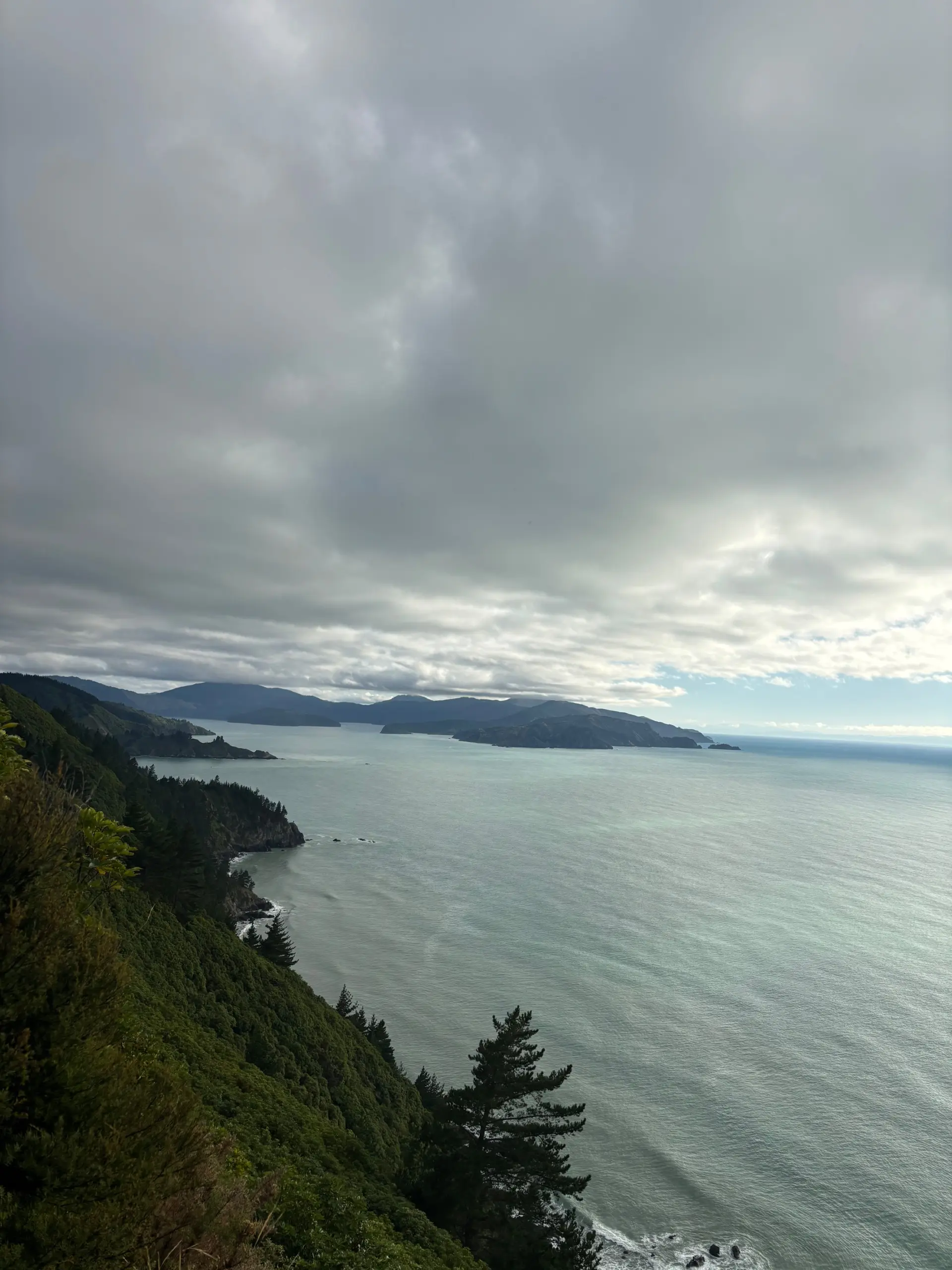
A loop track in Pukatea/Whites Bay with views of Cook Strait.
Distance
3.74 km
Walking time
1.5 hours
Difficulty
Easy
Dogs
Not allowed
Wheelchair access
Not marked friendly
Current status
Weather outlook
Issued 10 Oct 2026, 11:40 pm
10 October 2026
Mostly cloudy. Northwesterlies dying out early evening.
10° / 21°
11 October 2026
Cloudy, with the odd early morning shower, clearing to fine in the afternoon. Northwesterlies for a time afternoon and early evening.
9° / 21°
12 October 2026
Fine. Light winds, then northerlies developing in the afternoon.
10° / 22°
13 October 2026
Fine. Northwesterlies.
12° / 24°
14 October 2026
Mostly cloudy, with the chance of a shower from morning. Northwesterlies developing in the morning.
10° / 20°
Regional guidance only; elevation and terrain can produce different conditions.
Explore the area
Explore the track route and surrounding area before you set out.
From Whites Bay, the track climbs to a superb viewpoint on the edge of a bluff where Te Whanganui/Port Underwood, Cook Strait and Cape Campbell can be seen. Children need to be closely supervised here. Return the same way or complete a longer, loop option by winding slowly down through regenerating forest. The bridge at the start of the track has been removed. Take care crossing the creek, its waterflow is changeable. There are several slips – all are passable with care. There’s a great picnic bench at the top with spectacular coastline views. A carpark with public toilets is located at the trailhead.
Grade: 3/Intermediate, 4/Advanced Distance: 1.9 km section of Black Jack Track Time: 20 min approximately Mountain bikers are allowed to use part of the Black Jack Track to access the Mount Robertson Loop Track. You must only travel uphill on the left hand branch (looking up the hill from the Whites Bay end) of the track.
From Blenheim, drive north on SH1 for 9km to Tuamarina, turn right and head east via Hunter, Pembers and Rarangi Roads to Rarangi, before climbing steeply over rugged hills to the Whites Bay turn-off, about 4km sign-posted on the right. Drive about 300m, through the camping ground, to a car park just above the beach. Use this location in Google Maps to find your way there.
We encourage you to continue gaining the skills and knowledge required for a safe trip. The NZ Mountain Safety Council has lots of free resources and information you can use. These can be accessed via www.mountainsafety.org.nz . Level up in your outdoor knowledge with these interactive online learning tools: Trip Planning Tramping / field Skills Basic Navigation River Safety Additionally, check out the range of helpful videos available from the NZ Mountain Safety Council YouTube channel .
No dogs.
Track information, access and weather can change. Confirm current alerts and land-manager information close to departure, tell someone your plans, and carry equipment appropriate for the route and conditions.