10 October 2026
Low cloud lifting in the morning and fine breaks developing, but a few afternoon and evening showers. Areas of low cloud at night. Northeasterlies.
Loading outdoor place details…
Mount Thomas Forest Conservation Area
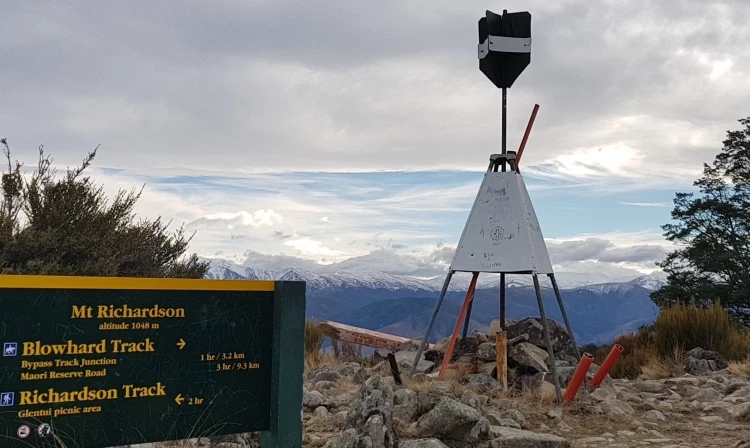
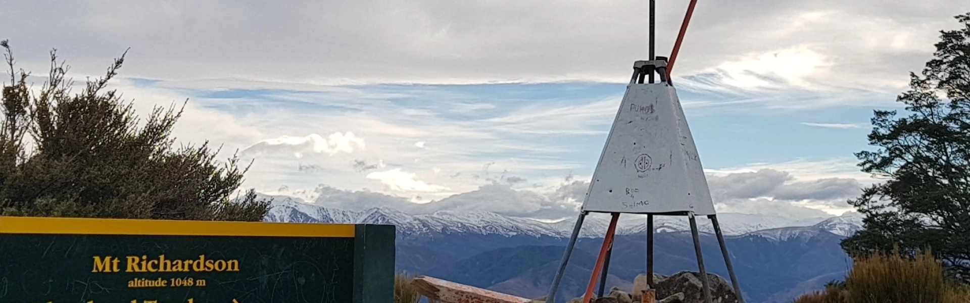
You can walk or mountain bike up to Mt Richardson Trig on this track. Motorised vehicles, including motorbikes, are not permitted.
Distance
18.7 km
Walking time
7 hours return
Difficulty
Advanced
Dogs
On-lead only
Wheelchair access
Not marked friendly
Current status
No active alerts found. Conditions can still change, so check again before leaving.
Weather outlook
Issued 9 Oct 2026, 11:01 pm
10 October 2026
Low cloud lifting in the morning and fine breaks developing, but a few afternoon and evening showers. Areas of low cloud at night. Northeasterlies.
11 October 2026
Fine. Light winds, then westerlies developing at night.
12 October 2026
Fine. Southwesterlies, turning northeasterly in the afternoon.
13 October 2026
Fine, but becoming mostly cloudy with isolated showers in the evening. Northwesterlies.
14 October 2026
Rain easing. Southwesterlies.
Regional guidance only; elevation and terrain can produce different conditions.
Explore the area
Explore the track route and surrounding area before you set out.
Starting from the end of Maori Reserve Road near the Boys' Brigade camp, Blowhard Track is a shared use trail which climbs up to Mt Richardson. The lower section of this track is a 4wd track which climbs a wind-swept ridge through tall open forest and emerges through stunted tawhai onto open grasslands. Skeleton tree trunks along the top ridge are a legacy of wildfire which swept up the Lees Valley in 1980. The track is steep and rough in places on the ascent, but then flattens out as you follow the ridgeline to the trig at the summit of Mt Richardson. You'll be rewarded with panaromic views of the Canterbury plains and Lees Valley along the ridge. Return the same way, or arrange transport and you can link with either Richardson Track or Bypass Track. There is no direct track linking Glentui picnic area and Maori Reserve Road .
The tracks in the area get wet and muddy after rain, but generally dry out again after a week of fine weather. As this is a shared-use track, there may be mountain bikers and horse riders along the trail . Bikes and horses are not permitted on the Richardson and Bypass tracks.
Blowhard Track is accessed from Maori Reserve Road. From Oxford, follow Ashley Gorge Road for 16 km, then turn into Maori Reserve Road and follow this for 4 km to the end. Use this location in Google Maps to find your way there.
We encourage you to continue gaining the skills and knowledge required for a safe trip. The NZ Mountain Safety Council has lots of free resources and information you can use. These can be accessed via www.mountainsafety.org.nz . Level up in your outdoor knowledge with these interactive online learning tools: Trip Planning Tramping / field Skills Basic Navigation River Safety Additionally, check out the range of helpful videos available from the NZ Mountain Safety Council YouTube channel .
Dogs on a leash only.
Track information, access and weather can change. Confirm current alerts and land-manager information close to departure, tell someone your plans, and carry equipment appropriate for the route and conditions.