11 October 2026
Showers, becoming few and far between in the afternoon, then clearing to fine in the evening.
Loading outdoor place details…
Arthur's Pass National Park
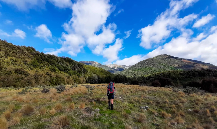
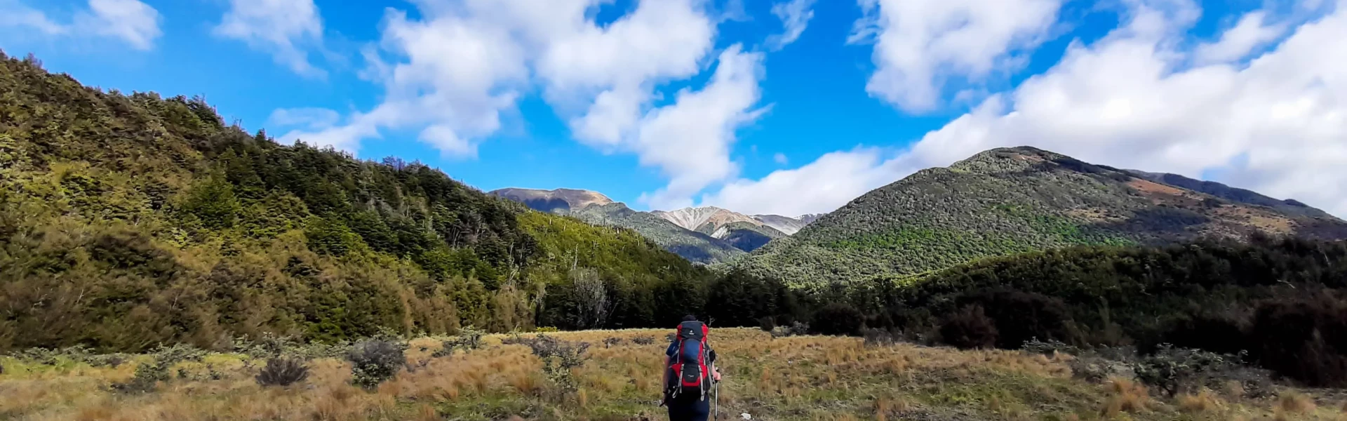
This is a pleasant 2 day tramp, crossing easy saddles on well-defined tracks through open mountain beech forest.
Distance
39 km
Walking time
2 days
Difficulty
Advanced
Dogs
Not allowed
Wheelchair access
Not marked friendly
Current status
Weather outlook
Issued 11 Oct 2026, 7:33 am
11 October 2026
Showers, becoming few and far between in the afternoon, then clearing to fine in the evening.
12 October 2026
Fine, cloud developing in the evening.
13 October 2026
Rain developing in the morning. Snow lowering to 2400 metres in the afternoon.
14 October 2026
Rain, with heavy falls.
15 October 2026
Showers, some heavy.
Regional guidance only; elevation and terrain can produce different conditions.
Explore the area
Explore the track route and surrounding area before you set out.
Time: 6 - 8 hr The new Casey Hut is well-marked and signposted. Andrews Track Just upstream from the bridge near Andrews Shelter, a marked track begins on the true left and climbs steeply through open scrub, reaching the beech forests above. The track continues to ascend, meandering across regular side creeks while generally maintaining a similar contour. After about 2 hours and 30 minutes from the shelter, the track rejoins Andrews Stream at Hallelujah Flat. From Hallelujah Flat, follow the grassy flats over Casey Saddle. Andrews streambed When water levels are low, you can follow the streambed. Marked sections of the track cut across small terraces at the bends, requiring frequent stream crossings. About an hour upstream, the stream forms a gorge, which may have flood debris. Near the top, a deep pool can be bypassed by scrambling over low rocky bluffs. Beyond this, tussock flats make for easy walking, best done on the true right. As the forested banks close in again, the track runs close to the river on the true left. Once the track emerges, follow the flats to Casey Saddle as previously described. Casey Track Beyond Casey Saddle, stay on the terrace just above Surprise Stream. After a few minutes, the well-worn track descends into the streambed below a small swamp. The forest track to the Casey Hut site starts a few minutes below the confluence of Trinity Stream, Surprise Stream, and Pampas Stream. Look for the track marker tucked under the forest canopy on the true right, just past a rough patch of scrub. About 50 meters downstream from the marker, on the opposite side, a steep gravel bank drops into the stream. If you reach this nearly treeless bank, you’ve gone too far. From the stream, the track climbs, sidles along the ridge, then descends into the bush, emerging on a large grassy flat near Casey Stream. The original Casey Hut site is located near the bush edge, midway down the flat. From there, follow Casey Stream for another kilometer along its bed to reach the Poulter River flats and the new Casey Hut .
Casey Hut to Pete Stream (Poulter River) Time: 4 - 5 hr From the new Casey Hut, follow an old vehicle track through the Poulter Valley to Pete Stream. The track is unmarked through the open sections but marked where it passes through the bush. If you lose the trail, it’s usually easy to pick it up again. The track meanders down a lovely broad grassy avenue between forest margins, following the course of an ancient stream. Although it may become vague in the gravel bed of a side creek, it clearly resumes on the grassy expanse of Rabbit Flat. A small ascent leads to the crossing of Mt Brown Creek, opposite the East Branch of the Poulter River. Midway between Mt Brown Creek and Pete Stream, the track climbs gently over a broad alluvial fan before returning to the lower terraces. Over Binser Saddle Time: 3 hours 30 minutes From the ford at Pete Stream, ascend the terraces on the true right of the stream towards a marker on the terrace rim. Be vigilant as you approach Pete Stream, as it’s easy to miss the turn-off to Binser Saddle. Follow the outer edge of the highest terrace until the track through low mānuka scrub becomes obvious. The trail soon enters the forest, staying near the terrace’s edge. The initial ascent is gradual but becomes steeper further on. The track passes through open mountain beech forest and is mostly easy to follow. As you near Binser Saddle, a stream runs close to the track, providing a reliable water source. However, sections of the trail are obstructed by wind-thrown trees, especially as you approach the saddle. If you lose the path, it generally follows the base of the slopes on the northern side and can be regained without too much difficulty. The climb to the saddle is longer than it appears from the Poulter Valley floor, with an elevation gain of about 600 metres. Beyond Binser Saddle, you’ll reach a pleasant open flat with good camping spots, and running water is available a few minutes further downhill. At the flat’s lower left corner (heading west), the track re-enters the forest. After passing through areas of wind-throw and thick regeneration, the trail becomes dry, open, and mossy. It crosses a side stream, winds through more storm-damaged forest, and descends steeply to the Waimakariri River flats, emerging just east of Lower Farm Stream. Be cautious in summer, as wasps are common in this area. Their stings are extremely painful, so avoid disturbing their nests. From this point, it’s another 30 minutes to Andrews Shelter.
The track can be walked in either direction. Note: The original Casey Hut burnt down in October 2015. A new 12-bunk replacement hut opened in August 2020. This hut is in a new location on the terrace overlooking the Poulter River and the last section of track has been rerouted to follow the river, rather than entering the beech forest. This will not be noted on older maps and descriptions. Weather Conditions The southeastern corner of the park is typically drier than Arthur’s Pass Village and areas west of the Main Divide. This tramp can often be undertaken when other parts of the park are experiencing unsuitable conditions. Timing and Preparation Allow adequate time for your tramp. The times provided for each section are only a guide; plan accordingly. Check snow and weather conditions before setting out. Safety and Skills Know your ability level. Arthur’s Pass National Park is mountain terrain, so strong navigational skills and the ability to assess weather and river conditions are essential. Be prepared to turn back if conditions become unsafe. River Crossings Exercise caution when crossing rivers, especially after heavy rain. If in doubt, wait until conditions improve before crossing. Avalanche Risk Avalanches generally occur between May and November but can happen at any time if snow coverage remains. If entering avalanche terrain: Ensure you have the necessary avalanche skills, training, and experience. Always check the New Zealand Avalanche Advisory before your trip. Go with a companion, and both of you should carry and know how to use: Avalanche transceivers Snow shovels Probes
The track ends are within 30 minutes walk of each other on Mt White Road. The track starts at Andrews Shelter on Mt White Road; turn off SH 73, 24 km east of Arthur's Pass village. Use this location on Google Maps to find your way there.
We encourage you to continue gaining the skills and knowledge required for a safe trip. The NZ Mountain Safety Council has lots of free resources and information you can use. These can be accessed via www.mountainsafety.org.nz . We recommend trying these online learning tools: Trip Planning Tramping / field Skills Basic Navigation River Safety Additionally, check out the range of helpful videos available from the NZ Mountain Safety Council YouTube channel
No dogs.
Track information, access and weather can change. Confirm current alerts and land-manager information close to departure, tell someone your plans, and carry equipment appropriate for the route and conditions.