10 October 2026
Partly cloudy. Easterlies, dying out in the evening.
Loading outdoor place details…
Boundary Stream area
While Kamahi Loop Track is open, access to Shine Falls is closed following Cyclone Gabrielle. At this stage there are no plans to reopen the track.
Distance
6.68 km
Walking time
5 hours one way
Difficulty
Intermediate
Dogs
Not allowed
Wheelchair access
Not marked friendly
Current status
No active alerts found. Conditions can still change, so check again before leaving.
Weather outlook
Issued 10 Oct 2026, 4:55 pm
10 October 2026
Partly cloudy. Easterlies, dying out in the evening.
11 October 2026
Mainly fine, with areas of early morning fog. Showers developing in the afternoon, possibly heavy with thunderstorms and hail, clearing in the evening. Northwesterlies developing for a time in the morning and afternoon.
12 October 2026
Fine, then a few showers developing about the ranges in the afternoon. Northeasterlies developing for a time in the afternoon.
13 October 2026
Mainly fine, but isolated showers in the afternoon. Northwesterlies developing in the morning.
14 October 2026
Fine, but becoming cloudy in the evening. Northwesterlies.
Regional guidance only; elevation and terrain can produce different conditions.
Explore the area
Explore the track route and surrounding area before you set out.
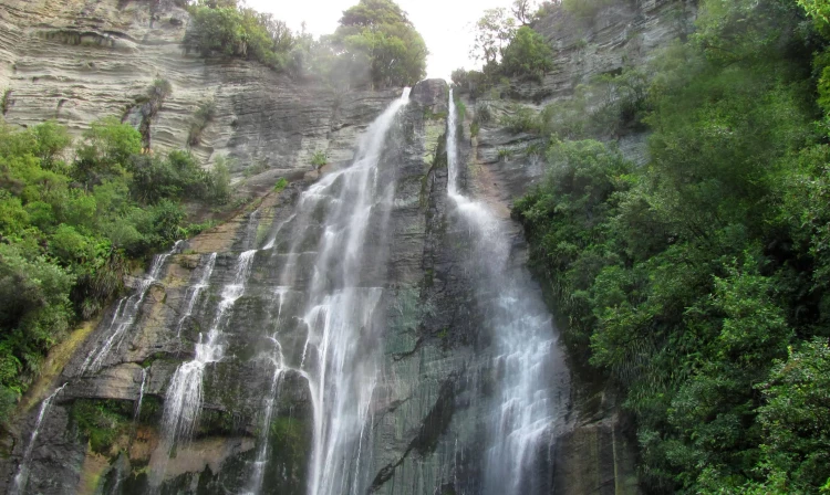
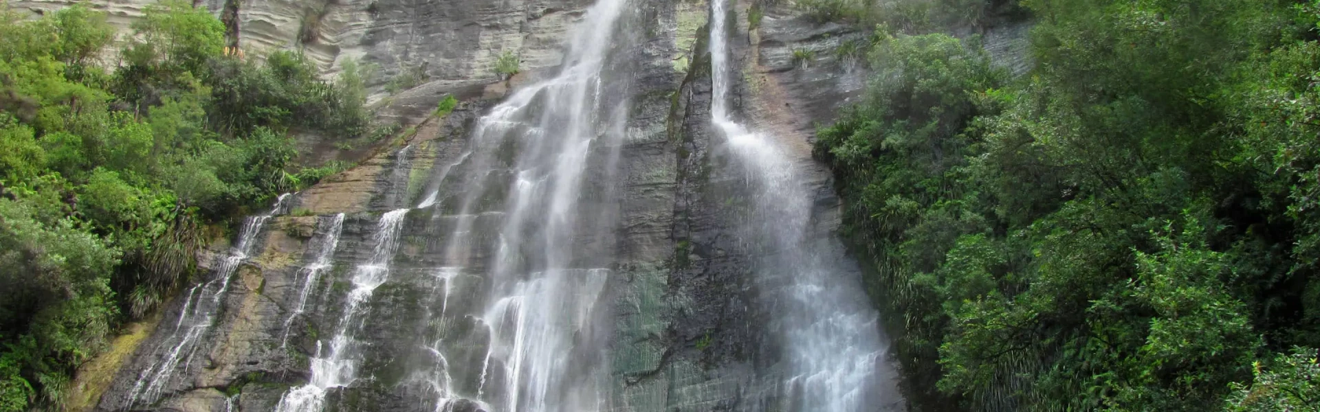
Walk to the Hawke's Bay highest waterfall via the Tūmanako and Kamahi loop tracks which include an ancient mataī about 800 years old and birds such as tītitipounamu/rifleman and the reintroduced pītoitoi/North Island robin. Starting at Pohokura Road car park ,begin by walking along the southern half of the Tūmanako Loop Track , followed by the Kamahi Loop Track . This provides a great cross-section of the reserve’s features – including an ancient mataī about 800 years old and birds such as tītitipounamu/rifleman and the reintroduced pītoitoi/North Island robin. Following this, between the midpoint of Kamahi Loop and Shine Falls, the track changes from a Walking Track to a Tramping Track, which is steep and rough, particularly at the start and as you drop down to the base of Shine Falls. At this point, the track descends steeply through stands of rewarewa, crossing Boundary Stream to reach the bottom of the spectacular Shine Falls. After a stop to enjoy Hawke’s Bay’s highest waterfall, Shine Falls, the track improves again to Walking Track standard. The track continues amongst native mixed forest made up of kānuka, kawakawa, kōwhai and tītoki, then past interesting sandstone bluffs before finishing at Heays Access Road after passing through a section of farmland . The area is home to a diverse range of native birds including the North Island brown kiwi, kaka, kokako, NZ falcon and kereru. Large populations of more common species including tui, bellbird, whitehead and North Island robin are also present. Threatened plants such as kakabeak and yellow-flowered mistletoe may be spotted by the keen-eyed. Walking end to end can take up to 5 hours, including a stop for lunch along the way. You'll need to arrange someone to pick you up. Alternatively, either turn around at Shine Falls, or for a shorter walk to Shine Falls, take Shine Falls Track from Heays Access Road.
Shine Falls Track remains closed due to extensive damage caused by Cyclone Gabrielle. Restoration work will start in July 2026, and contractors will be working throughout the track corridor. For the safety of the public and work crews, no access is permitted beyond the closure point while work is underway. Respect all closures, signage, and barriers. The track will reopen once it is safe to do so, and this notice will be removed. The Kamahi Loop track is open.
No dogs
Track information, access and weather can change. Confirm current alerts and land-manager information close to departure, tell someone your plans, and carry equipment appropriate for the route and conditions.