11 October 2026
Showers, possibly heavy, clearing in the afternoon but remaining partly cloudy. Northerlies, turning westerly around midday.
Loading outdoor place details…
Whanganui National Park
Walk to an abandoned bridge in the heart of the Whanganui National Park. This track is part of Te Araroa Trail.
Distance
5.1 km
Walking time
1 hr 30 min return
Difficulty
Easy
Dogs
Not allowed
Wheelchair access
Not marked friendly
Current status
Weather outlook
Issued 11 Oct 2026, 5:43 am
11 October 2026
Showers, possibly heavy, clearing in the afternoon but remaining partly cloudy. Northerlies, turning westerly around midday.
12 October 2026
Mostly cloudy with isolated showers. Light winds, then northwesterlies developing at night.
13 October 2026
A few showers. Northwesterlies.
14 October 2026
Partly cloudy with isolated showers developing in the morning. Northwesterlies developing in the morning.
15 October 2026
Showers, some possibly heavy. Northwesterlies.
Regional guidance only; elevation and terrain can produce different conditions.
Explore the area
Explore the track route and surrounding area before you set out.
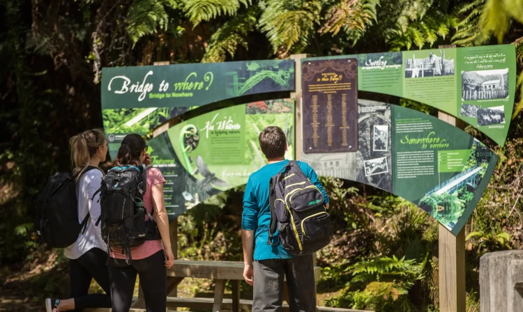
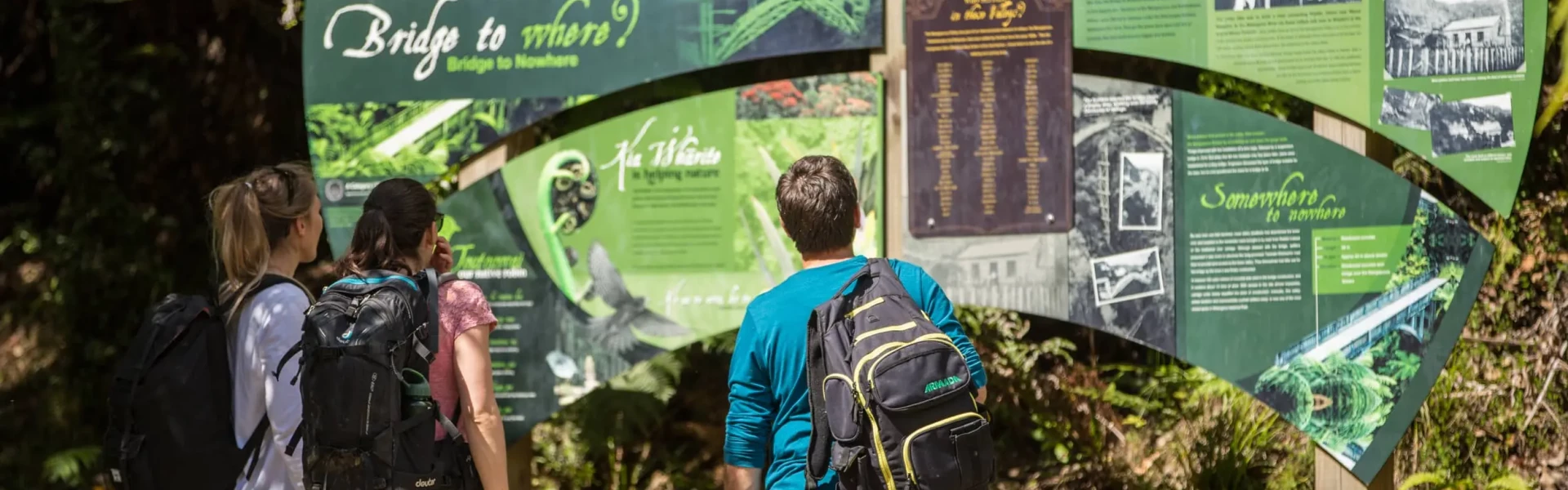
Accessible only by jetboat, canoe, mountain bike, or on foot, the track begins at Mangapurua Landing on the Whanganui River. From here, follow a well-maintained bush trail through lush native forest alongside the Mangapurua Stream. After about 40–45 minutes, you’ll reach the Bridge to Nowhere, an impressive concrete bridge standing in the middle of remote Whanganui National Park, surrounded by steep forested valleys and silence. Built in the 1930s to connect isolated farms of the Mangapurua Valley, the bridge now stands as a striking reminder of the area’s past and is a popular destination on the Mountains to Sea / Ngā Ara Tūhono Cycle Trail and Whanganui Journey.
Fires – fires are not permitted in the Mangapurua Valley Track conditions – Track conditions may be slippery and muddy, particularly during winter and early spring. Communications – this area is remote with no cell phone coverage. It is recommended that you carry an emergency alert device (e.g. PLB/Spot tracker). Bluffs – there are multiple bluffs on this track. Care should be taken while passing these bluffs and watch out for falling rocks. Multi-use track – Bridge to Nowhere Track is shared by trampers, mountain bikers and hunters. Care should be taken on downhill sections. All users need to look out for and be considerate of others. Water – during dry periods, extra water should be carried as shelters and streams may be dry or stagnant. Treat or boil all water before drinking. Wasps – Wasps are a known hazard and are particularly common from January until May. Carry antihistamine if you are allergic to their stings.
There are two ways to access the bridge site, either by a gentle 40 minute walk from the Mangapurua Landing on the Whanganui River (catch a jet boat from either Pipiriki or Whakahoro to get to the landing) or by the Mangapurua Track , accessible from either Whakahoro or Ruatiti road end.
We encourage you to continue gaining the skills and knowledge required for a safe trip. The NZ Mountain Safety Council has lots of free resources and information you can use. These can be accessed via www.mountainsafety.org.nz . Level up in your outdoor knowledge with these interactive online learning tools: Trip Planning Tramping / field Skills Basic Navigation River Safety Additionally, check out the range of helpful videos available from the NZ Mountain Safety Council YouTube channel .
No dogs.
Track information, access and weather can change. Confirm current alerts and land-manager information close to departure, tell someone your plans, and carry equipment appropriate for the route and conditions.