11 October 2026
Showers, possibly heavy, clearing to fine in the morning, then cloud and the odd shower developing at night. Northwesterlies.
Loading outdoor place details…
Broken Hills area
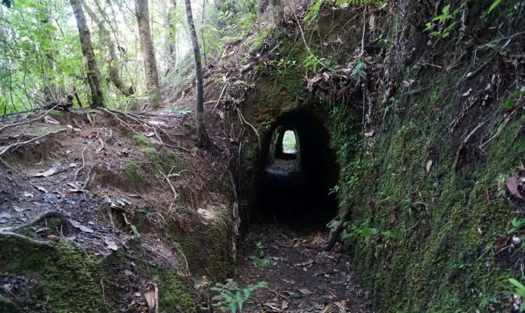
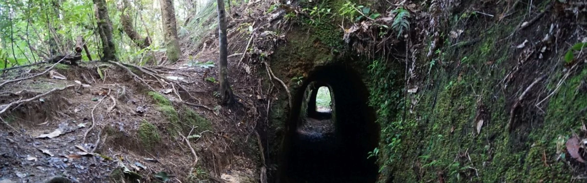
Explore the tunnels which were used to search for quartz and provide water for the Broken Hills Battery then enjoy expansive views from the lookout before descending back to the river.
Distance
4.19 km
Walking time
2 - 3 hours
Difficulty
Easy
Dogs
On-lead only
Wheelchair access
Not marked friendly
Current status
No active alerts found. Conditions can still change, so check again before leaving.
Weather outlook
Issued 10 Oct 2026, 11:01 pm
11 October 2026
Showers, possibly heavy, clearing to fine in the morning, then cloud and the odd shower developing at night. Northwesterlies.
12 October 2026
Occasional rain, clearing in the evening. Northwesterlies.
13 October 2026
Partly cloudy, with isolated showers in the afternoon and evening. Northwesterlies.
14 October 2026
Partly cloudy with isolated showers. Northwesterlies developing in the morning.
15 October 2026
Showers developing. Northerlies, turning westerly.
Regional guidance only; elevation and terrain can produce different conditions.
Explore the area
Explore the track route and surrounding area before you set out.
Starting from Puketui Valley Road or the Broken Hills campsite, head along Puketui Walk for 200m. After passing the Government Battery, take the Main Range Track on the right (signs for Collins Drive, Paton Stream Dam). After 140m, you'll come to the junction of Water Race Track and Main Range Track. Whichever way you head, you will meet back at this point. The easiest direction is to take Water Race Tunnels Track on the left. This follows the old water race that took water from the Third Branch Stream across the Tairua River via three tunnels to drive the Broken Hills Battery. The original race was 3300 m long. At the southern end, the track joins the Water Race Link Track, where you can either drop down a stepped track for 15 min to the Puketui Walk and return to where you started, or climb up to the Third Branch Track and onto Collins Drive. The 500-m long Collins Drive provides an opportunity to experience a real underground mine system. This tunnel was driven through the hill in a fruitless attempt to find a quartz reef with payable ore. Dangerous shafts have been boarded up. You will need a torch for the 15-min boardwalk through the tunnel. Turn your torch off near the tunnel entrances to see the glow-worms. From the west end of Collins Drive, a 10 minute climb to the ridge will bring you to the Main Range track. Turn to the east (right) to return to the Puketui Valley road end car park. Before descending though, take the lookout track straight ahead for the amazing views. Then continue down to Puketui Valley Road, approximately 1 hour away.
Mine tunnels and shafts are very dangerous and may be hidden by vegetation. Keep to marked official tracks. Do not enter tunnels unless they are clearly marked for public access. Carry a torch with fresh batteries. Warm clothing is recommended.
Stop kauri disease and protect kauri Scrub all soil off shoes and gear. Use cleaning stations. Always stay on the track. How you can help save kauri
Broken Hills campsite is a standard DOC campsite with 45 non-powered tent sites. Bookings are required . Camp rangers service the campsite during summer.
Broken Hills is 19km from Tairua and 27km from Whangamata. The two entrance roads (Puketui Valley Road and Puketui Road) do not connect. Walkers must wade across Third Branch Stream to enter the tracks from Puketui Road. Puketui Valley Road /Broken Hills Campsite entrance Turn off SH25 at Hikuai onto Morrison’s Road (50 m north of the Pauanui turn off) then onto Puketui Valley Road. It is 6km to the car park at the end of Puketui Valley Road. Note: Tairua River Bridge, one km short of the road end, has a 10-tonne weight limit. Use this location in Google Maps to find your way there. Puketui Road entrance Alternative access is available off the Kopu-Hikuai Road (SH25a), 26km from Thames. Turn on to Puketui Road 400 m before the Tairua River and Fourth Branch Scenic Reserve. A 4km gravel road brings you to the Puketui Road car park at the southern end of Broken Hills. You will need to wade the stream to access the track system as there is no bridge across the water. Use this location in Google Maps to find your way there.
We encourage you to continue gaining the skills and knowledge required for a safe trip. The NZ Mountain Safety Council has lots of free resources and information you can use. These can be accessed via www.mountainsafety.org.nz . We recommend trying these online learning tools: Trip Planning Tramping/field Skills Basic Navigation River Safety Additionally, check out the range of helpful videos available from the NZ Mountain Safety Council YouTube channel .
Dogs on a leash only
Track information, access and weather can change. Confirm current alerts and land-manager information close to departure, tell someone your plans, and carry equipment appropriate for the route and conditions.