11 October 2026
Showers, possibly heavy, clearing to fine in the morning, then cloud and the odd shower developing at night. Northwesterlies.
Loading outdoor place details…
Coromandel Forest Park
This popular walk leads to Pinnacles Hut, and on to the summit of the Pinnacles with spectacular views of the Coromandel Peninsula. It can be completed as a day or overnight walk.
Distance
12 km
Walking time
3 hr one way
Difficulty
Intermediate
Dogs
Not allowed
Wheelchair access
Not marked friendly
Current status
No active alerts found. Conditions can still change, so check again before leaving.
Weather outlook
Issued 11 Oct 2026, 5:43 am
11 October 2026
Showers, possibly heavy, clearing to fine in the morning, then cloud and the odd shower developing at night. Northwesterlies.
12 October 2026
Occasional rain, clearing in the evening. Northwesterlies.
13 October 2026
Partly cloudy, with isolated showers in the afternoon and evening. Northwesterlies.
14 October 2026
Partly cloudy with isolated showers. Northwesterlies developing in the morning.
15 October 2026
Showers developing. Northerlies, turning westerly.
Regional guidance only; elevation and terrain can produce different conditions.
Explore the area
Explore the track route and surrounding area before you set out.
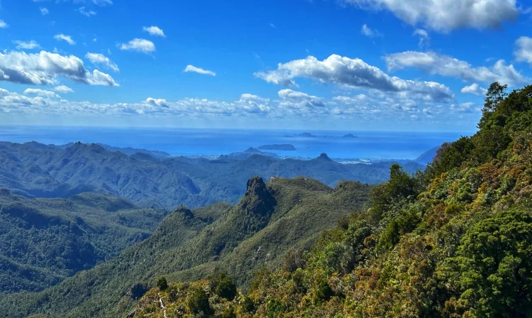
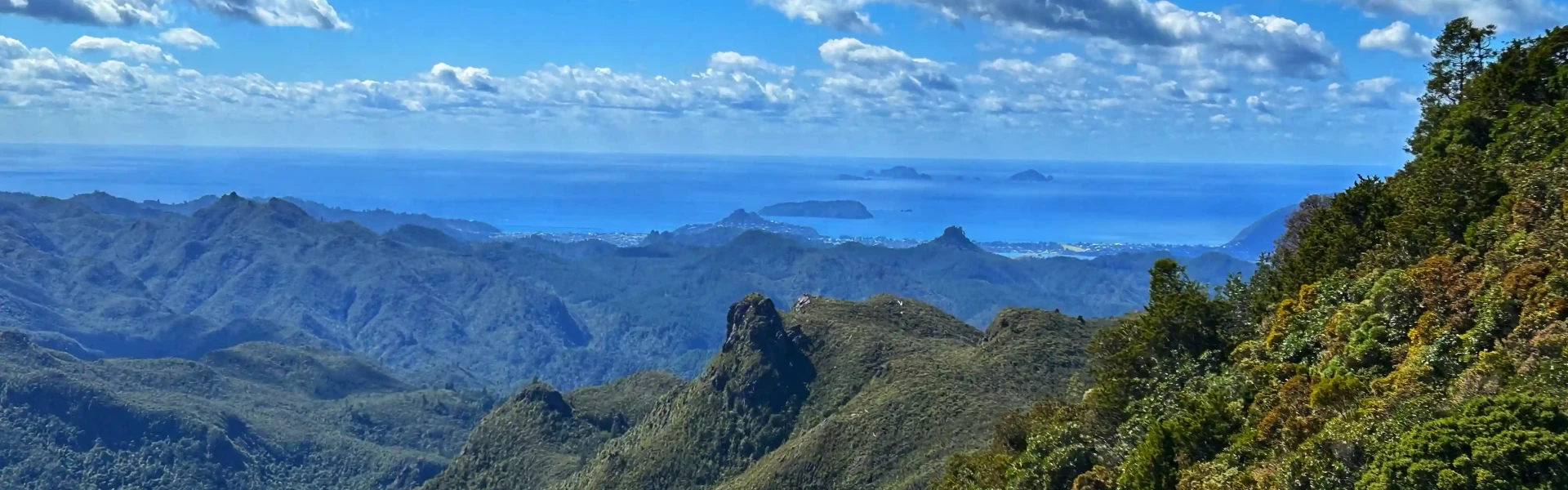
From the road end car park, walk to the swing bridge to cross the Kauaeranga River. From here you keep following the Webb Creek Track to the Hydro Camp (1 hr 30 min – 2 hr). You'll climb steps that were cut into rock to make the journey easier for the packhorses during the kauri logging era. Care is required in places as the rocks can be slippery. From Hydro Camp junction, take the Pinnacles Track which climbs and sidles around a hill before following a more open ridge. Enjoy impressive views down a branch of the Tairua River and the rugged volcanic landforms of Tauranikau and the Pinnacles. The final stage of the ascent to the Pinnacles includes climbing ladders. At the Pinnacles summit (759 m) there are spectacular views of the bush, mountains and coastline of the eastern Coromandel. Stay within the fenced summit platform. Warning: many trampers choose to return via the Billygoat Track. Bear in mind that you must walk across the main Kauaeranga River to get back to the carpark. This is generally safe to do, however following high rainfall or flood events use the Webb Creek route only.
Bookings are required for Pinnacles Hut and all nearby campsites. Pinnacles Hut is one of the largest DOC huts in NZ with 80 bunks, and a beautiful place to witness the sunrise. It is possible to camp nearby at Dancing Creek campsite which has 4 non-powered tent sites. Billygoat Basin Campsite has 8 non-powered tent sites on platforms and is a good option for trampers who prefer a quieter campsite over a busy hut.
From SH25 at the southern entrance to Thames, turn right into Banks Street beside the service station. Banks Street veers right into Parawai Road, which then becomes Kauaeranga Valley Road. Follow this for 13 km to the Kauaeranga Visitor Centre. The road continues unsealed a further 9 km to the road end. This is where the track starts. Use this location in Google Maps to find your way there.
We encourage you to continue gaining the skills and knowledge required for a safe trip. The NZ Mountain Safety Council has lots of free resources and information you can use. These can be accessed via www.mountainsafety.org.nz . We recommend trying these online learning tools: Trip Planning Tramping / field Skills Basic Navigation River Safety Additionally, check out the range of helpful videos available from the NZ Mountain Safety Council YouTube channel
Low-pressure systems approaching from the north are the biggest concern for rainfall but tend to be infrequent. South-westerly winds can be very strong about the peaks.
No dogs.
Track information, access and weather can change. Confirm current alerts and land-manager information close to departure, tell someone your plans, and carry equipment appropriate for the route and conditions.