10 October 2026
Partly cloudy. Easterlies, dying out in the evening.
Loading outdoor place details…
Kaweka Forest Park
A day walk to Mt Kuripapango.
Distance
7.4 km
Walking time
3-4 hr return
Difficulty
Advanced
Dogs
Not allowed
Wheelchair access
Not marked friendly
Current status
No active alerts found. Conditions can still change, so check again before leaving.
Weather outlook
Issued 10 Oct 2026, 4:55 pm
10 October 2026
Partly cloudy. Easterlies, dying out in the evening.
11 October 2026
Mainly fine, with areas of early morning fog. Showers developing in the afternoon, possibly heavy with thunderstorms and hail, clearing in the evening. Northwesterlies developing for a time in the morning and afternoon.
12 October 2026
Fine, then a few showers developing about the ranges in the afternoon. Northeasterlies developing for a time in the afternoon.
13 October 2026
Mainly fine, but isolated showers in the afternoon. Northwesterlies developing in the morning.
14 October 2026
Fine, but becoming cloudy in the evening. Northwesterlies.
Regional guidance only; elevation and terrain can produce different conditions.
Explore the area
Explore the track route and surrounding area before you set out.
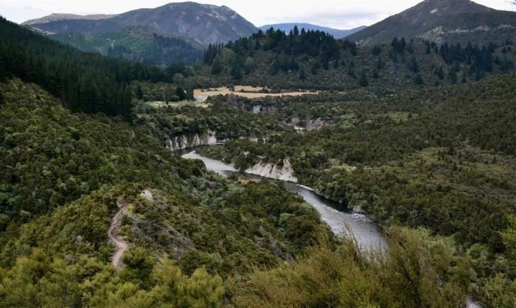
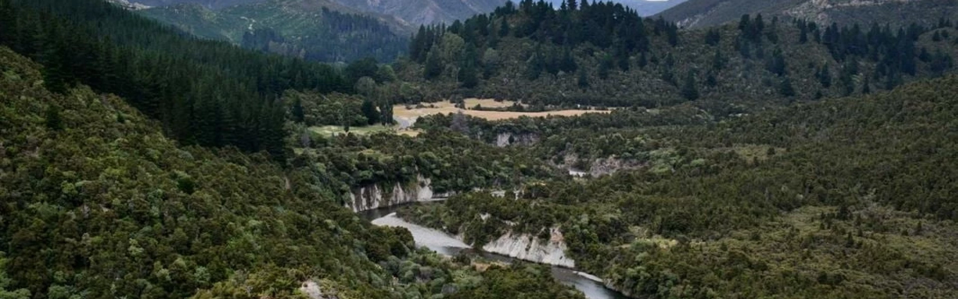
This track starts at Cameron Carpark. After crossing the swing bridge, follow the Ngaruroro River before branching off on the Mt Kuripapango track. The track climbs steeply through manuka forest. Expect scree and exposed clay slopes. The track then crosses a broad, tussock saddle and alpine herbfield to reach the summit ridge. Tracks at the trig branch northwest to Kiwi Saddle Hut, and east to the Lakes Carpark. It is a 1 hr walk back down to track to the car park
Cameron Carpark is located approximately 70 km from Napier on the Napier/Taihape Road (just before Kuripapango). Use this location in Google Maps to find your way there.
We encourage you to continue gaining the skills and knowledge required for a safe trip. The NZ Mountain Safety Council has lots of free resources and information you can use. These can be accessed via www.mountainsafety.org.nz . Level up in your outdoor knowledge with these interactive online learning tools: Trip Planning Tramping / field Skills Basic Navigation River Safety Additionally, check out the range of helpful videos available from the NZ Mountain Safety Council YouTube channel .
This is a mountainous area. Visitors should be prepared for sudden weather changes, whiteouts, high winds on the ranges and rapidly rising water levels in rivers and streams.
Dogs with a DOC permit for recreational hunting or management purposes only.
Track information, access and weather can change. Confirm current alerts and land-manager information close to departure, tell someone your plans, and carry equipment appropriate for the route and conditions.