11 October 2026
Cloudy periods, and occasional showers. Thunderstorms and hail possible during the afternoon and evening. Northwesterlies, but easterlies about the coast for a time afternoon and early evening.
Loading outdoor place details…
Kaweka Forest Park
From Comet Road End take a 2-3 hour walk to historic Shutes Hut, built in 1920 for rabbiters and musterers to use.
Distance
6.3 km
Walking time
2-3 hr
Difficulty
Advanced
Dogs
Allowed — check local rules
Wheelchair access
Not marked friendly
Current status
Weather outlook
Issued 11 Oct 2026, 11:03 am
11 October 2026
Cloudy periods, and occasional showers. Thunderstorms and hail possible during the afternoon and evening. Northwesterlies, but easterlies about the coast for a time afternoon and early evening.
12 October 2026
Fine. Easterlies developing for a time in the afternoon.
13 October 2026
Fine. Northwesterlies developing in the morning.
14 October 2026
Partly cloudy. Northwesterlies.
15 October 2026
Occasional rain clearing to fine in the afternoon. Northerlies, turning westerly in the morning.
Regional guidance only; elevation and terrain can produce different conditions.
Explore the area
Explore the track route and surrounding area before you set out.
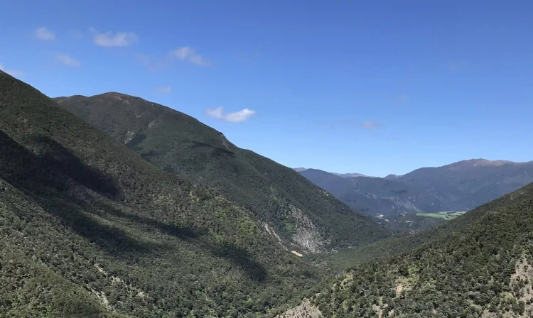
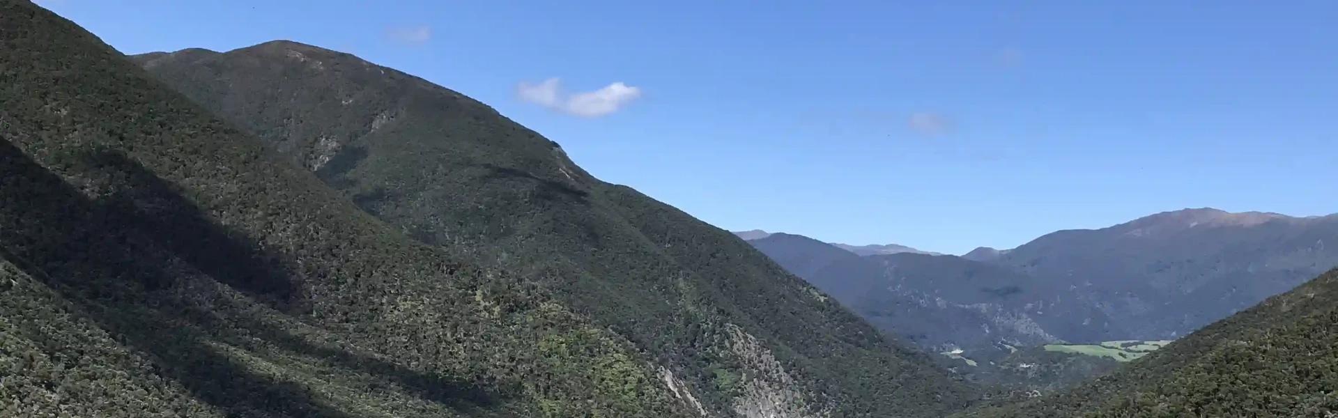
The track begins with a steep climb to the Komata Trig, then undulates along the ridge through pine forest before descending sharply to the Taruarau River. The river is knee-deep on fine shingle in low conditions but can rise quickly in flood. After crossing, the track follows a low terrace of open mānuka before climbing steadily to higher open terraces. A marked track then enters thick low bush, sidling into a side valley leading to Shutes Hut. The final 1 km traverses steep valley sides before reaching a basin with a grassy clearing, mature pines, and Shutes Hut .
Turn off the Taihape Napier Road onto Comet Road. The Comet Road turn off is about 70 km (1 hr 15 min drive time) from Hastings. Follow Comet Road until the end (3 km). A forestry gate has been installed at the start of Comet Road to allow for closure in the event of unsafe road conditions. If the road is closed, an alert will be displayed on this page. Use this location on Google Maps to help find your way there.
We encourage you to continue gaining the skills and knowledge required for a safe trip. The NZ Mountain Safety Council has lots of free resources and information you can use. These can be accessed via www.mountainsafety.org.nz . We recommend trying these online learning tools: Trip Planning Tramping / field Skills Basic Navigation River Safety Additionally, check out the range of helpful videos available from the NZ Mountain Safety Council YouTube channel
Dogs with a DOC permit for recreational hunting or management purposes only.
Track information, access and weather can change. Confirm current alerts and land-manager information close to departure, tell someone your plans, and carry equipment appropriate for the route and conditions.