10 October 2026
Low cloud lifting this morning as fine breaks develop, then a few showers from late afternoon, possibly heavy and thundery inland. Northeasterlies.
Loading outdoor place details…
Christchurch area
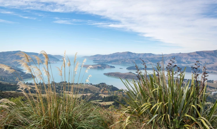
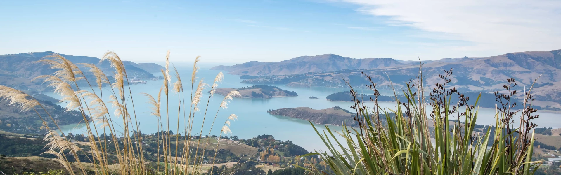
The Crater Rim Walkway traverses the length of the Port Hills from Awaroa/Godley Head in the east out to Ahuriri Reserve in the south. On a nice day, experience stunning views of Lyttleton Harbour and Banks Peninsula on one side, and the Canterbury plains and Southern Alps on the other.
Distance
27.43 km
Walking time
8 - 10 hours
Difficulty
Intermediate
Dogs
On-lead only
Wheelchair access
Not marked friendly
Current status
No active alerts found. Conditions can still change, so check again before leaving.
Weather outlook
Issued 10 Oct 2026, 10:55 am
10 October 2026
Low cloud lifting this morning as fine breaks develop, then a few showers from late afternoon, possibly heavy and thundery inland. Northeasterlies.
11 October 2026
Fine. Light winds, then westerlies developing at night.
12 October 2026
Fine. Northeasterlies developing for a time in the afternoon and evening.
13 October 2026
Fine, but becoming cloudy in the afternoon. Northwesterlies.
14 October 2026
Rain easing in the afternoon. Southerlies, dying out in the afternoon.
Regional guidance only; elevation and terrain can produce different conditions.
Explore the area
Explore the track route and surrounding area before you set out.
The track can be walked in either direction, but is described here as starting from Godley Head. Although this means for more uphill than downhill, this also allows for better views as the sun moves during the day, and less chance of slipping on the descents. Each section below is also contained in the route-planning service as a individual walks. Clock the header to see user reviews and photos of that section. Godley Head to Evans Pass This walk offers dramatic rocky landscapes and magical views. From the Godley Head car park head up toward Breezes Col as the track rises onto the Lyttelton Harbour side and follows a ridge. The track runs along a stock fence before heading down to Godley Head Road. Just over the last cattle grid you’ll find the Evans Pass car park. Evans Pass to Bridle Path Walk west from Evans Pass along the Summit Rd a short way. The track starts on your left and climbs up on the Lyttelton Harbour side to the historic WWII gun emplacements. Continue along the formed track as it heads towards the television masts at the top of Cavendish Reserve then descends to the Cavendish Saddle. Refreshments are available at the nearby Gondola Top Station. From here, continue along the edge of the volcanic crater rim as it drops down to the Bridle Path carpark. Bridle Path to Rapaki Track From the carpark at the top of the Bridle Path, head west towards the Rapaki Track. Climb uphill on the Lyttelton Harbour side of the crater rim before turning up towards Castle Rock and Tors Reserve. Continue around the slopes to Witch Hill Reserve before descending to the carpark above Rapaki Track on the Summit Rd. From here you can continue along the Crater Rim Walkway or take the Rapaki Track down into St Martins. Rapaki Track to Sign of the Kiwi From the carpark at the top of Rapaki Track, the walkway climbs steeply through tussock grassland to the top of Mt Vernon. From here, the summit ridge clearly shows the volcanic origins of the Port Hills. The track descends to the Summit Rd and traverses through the pine trees in Scott Reserve before reaching Sugarloaf Reserve on the harbour side of the ridge. From this point it's best to take Mitchells Track which takes you through native bush to Dyers Pass and the Sign of the Kiwi. Sign of the Kiwi to Sign of the Bellbird The track begins at the Sign of the Kiwi, heading around the Lyttelton Harbour side of Coronation Reserve before re-joining the Summit Rd. Sidle above the road until reaching a small open area opposite a large carpark. Cross the road here to pick up the track then cross again at Worsleys Rd. From here, the track continues to Hoon Hay Reserve and the carpark at Hoon Hay Valley with an optional side trip up to Trig V for further views of the harbour. Finally, travel through tussock grassland and regenerating native bush around Mt Ada (with an optional side trip up to the summit if desired) before reaching the Sign of the Bellbird. Sign of the Bellbird to Ahuriri Reserve This section starts across the road from the Sign of the Bellbird, initially heading south to traverse the eastern slopes of Ōrongomai/Cass Peak, before rejoinging the crater rim on the other side. The track continues largely along the rim top with a few unmarked turnoffs to views on the crater/eastern side of the track, so be prepared to turn back if you accidentally take one of these without realising it. Towards the southern end you'll climb the slopes of Coopers Knob/Ōmawete, the highest point on the Port Hills. Enjoy the breathtaking views before a final descent through native bush brings you to the end of the Crater Rim Walkway at a car park opposite Ahururi Reserve.
The information about this track is provided by the Christchurch City Council . For updates on track closures, damage or maintenance, check the walking track status page before heading out. Some tracks and reserves remain closed due to significant rockfall risk identified after the Canterbury earthquakes in 2011. Specialist contractors may be rolling and deconstructing rocks in these areas. Obey any closure or warning signs. Care should be taken with open tracks as hazards are not always immediately obvious. Hazard indicators include signs of rocks having moved, cracks and slumping of the ground or rock debris at the base of cliffs. Walkers are advised to remain well clear of the tops and bottoms of coastal cliffs, bluffs and rocky outcrops.
The track can be walked in any direction. If starting from Godley Head, use this location in google maps to find your way there. For the Ahuriri Reserve end, use this location in google maps to find your way there. Alternatively, start or end from carparks along Summit Road such as Sign of the Kiwi , Bowenville or Rapaki .
We encourage you to continue gaining the skills and knowledge required for a safe trip. The NZ Mountain Safety Council has lots of free resources and information you can use. These can be accessed via www.mountainsafety.org.nz . We recommend trying these online learning tools: Trip Planning Tramping / field Skills Basic Navigation River Safety Additionally, check out the range of helpful videos available from the NZ Mountain Safety Council YouTube channel
On Lead
Track information, access and weather can change. Confirm current alerts and land-manager information close to departure, tell someone your plans, and carry equipment appropriate for the route and conditions.