11 October 2026
Fine, but the chance of an afternoon shower. Northeasterlies dying out in the afternoon.
Loading outdoor place details…
Banks Peninsula area
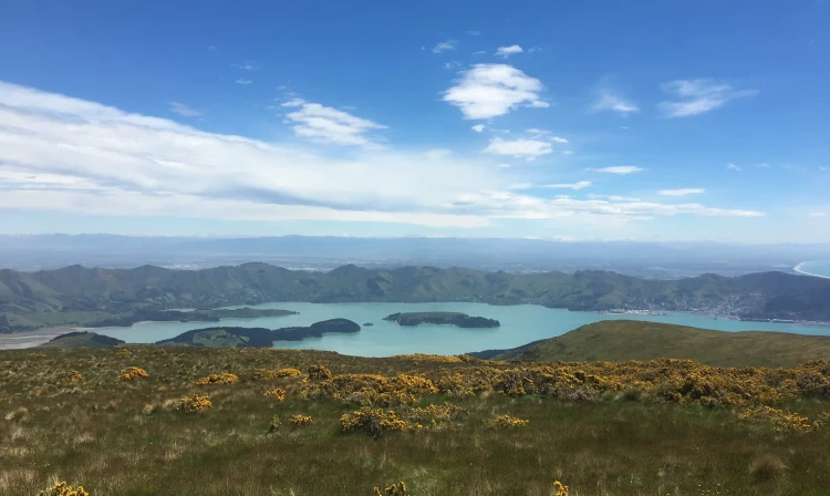
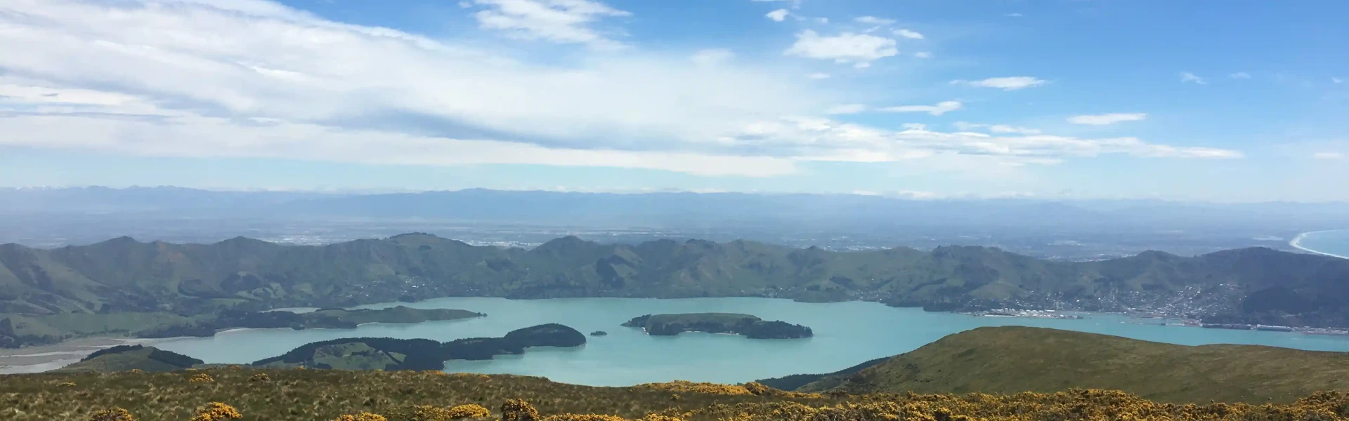
Take a day tramp and enjoy spectacular views of Banks Peninsula and the Canterbury Plains from the Mount Herbert/Te Ahu Pātiki summit.
Distance
14 km
Walking time
6 – 8 hr return
Difficulty
Advanced
Dogs
Not allowed
Wheelchair access
Not marked friendly
Current status
No active alerts found. Conditions can still change, so check again before leaving.
Weather outlook
Issued 11 Oct 2026, 4:35 pm
11 October 2026
Fine, but the chance of an afternoon shower. Northeasterlies dying out in the afternoon.
12 October 2026
Fine, but some morning low cloud or fog. Light winds, then northeasterlies developing in the afternoon.
13 October 2026
Fine, then a few showers at night. Northwesterlies, turning northeasterly in the evening.
14 October 2026
Showers developing in the morning. Northeasterlies, dying out in the evening.
15 October 2026
Showers developing in the morning, with snow to 800 metres. Southwesterlies developing in the morning.
Regional guidance only; elevation and terrain can produce different conditions.
Explore the area
Explore the track route and surrounding area before you set out.
Time required : 6 – 8 hours return, or overnight if linked with Te Ara Pātaka/Summit Walkway The Mount Herbert/Te Ahu Patiki summit at 920 m is the highest peak on Banks Peninsula. The summit is dominated by tussocks, with a few speargrass plants, scattered around a small antenna housing. From here you can look out over the Port Hills to the peaks of the Foothill Forests – Mount Thomas (1023 m) and Mount Grey (933 m) 66 km to the north. To the east is open ocean all the way to Chile and Patagonia. Either return the same way you came, or continue left on to the Port Levy Saddle and from there to the Rod Donald Hut in 3 hr 20 min. Alternatively you can exit right via Orton Bradley Park, Kaituna Valley or Gebbies Pass, and stay at the Packhorse Hut along the way, which is three hours walk from Mount Herbert. The summit tracks are all part of the Te Ara Pātaka/Summit Walkway .
The track is a full day trip and very exposed to the weather, so trampers must be prepared for cold, heat, fog and wind, and take plenty of water and some food with them. There are limited sources of drinking water on this track. Do not use stock water supplies. Roof collected water is available from Mt Herbert Shelter which should be treated before drinking. There are toilets in Diamond Harbour and at the Mount Herbert Shelter. This track crosses an active farm – take care around stock. Stay on the marked track, use the stiles to cross fences. The track is closed for lambing 8 August – 15 October.
Rod Donald Hut Packhorse Hut
The track starts from the Te Waipapa/Diamond Harbour wharf. If driving from Christchurch there is good parking in the small village above. Alternatively take the ferry across the harbour from Lyttelton to the wharf. Use this location in Google Maps to find your way there. From the wharf follow the road up towards the Village. After a few minutes walking a track leads off to the right, soon dropping down to the beach. From the end of the beach, a rough track heads directly uphill, following a creek bed through pine forest and regenerating bush. Ignore any side tracks and follow the main trail up the creek. After crossing Marine Drive at a bend, turn right for the start of the next section. The track enters scrubby farmland, soon passing a large historic eucalyptus tree, believed to have been planted by the early European settler Mark Stoddart in the 1860s. Cross the unsealed Bayview Road and veer slightly left to pick up the track again. This is last place within Diamond Harbour you could start the track, cutting about 30 minutes off your walking time.
We encourage you to continue gaining the skills and knowledge required for a safe trip. The NZ Mountain Safety Council has lots of free resources and information you can use. These can be accessed via www.mountainsafety.org.nz . We recommend trying these online learning tools: Trip Planning Tramping / field Skills Basic Navigation River Safety Additionally, check out the range of helpful videos available from the NZ Mountain Safety Council YouTube channel .
No dogs.
Track information, access and weather can change. Confirm current alerts and land-manager information close to departure, tell someone your plans, and carry equipment appropriate for the route and conditions.