09 October 2026
Fine. Easterlies, strong at times until early evening.
Loading outdoor place details…
Ruahine Forest Park
Walk Deerford Loop Track to picturesque Makiekie Creek for a picnic and a paddle.
Distance
4.3 km
Walking time
3-4 hrs
Difficulty
Advanced
Dogs
Allowed — check local rules
Wheelchair access
Not marked friendly
Current status
No active alerts found. Conditions can still change, so check again before leaving.
Weather outlook
Issued 9 Oct 2026, 4:49 pm
09 October 2026
Fine. Easterlies, strong at times until early evening.
10 October 2026
Mainly fine to start, then cloud increasing and isolated showers developing in the afternoon. Northeasterlies, dying out for a time in the afternoon.
11 October 2026
Showers, some heavy. Northeasterlies, turning westerly in the morning.
12 October 2026
Cloud clearing and becoming fine in the morning. Light winds.
13 October 2026
Mostly cloudy, with isolated showers. Westerlies developing in the morning.
Regional guidance only; elevation and terrain can produce different conditions.
Explore the area
Explore the track route and surrounding area before you set out.
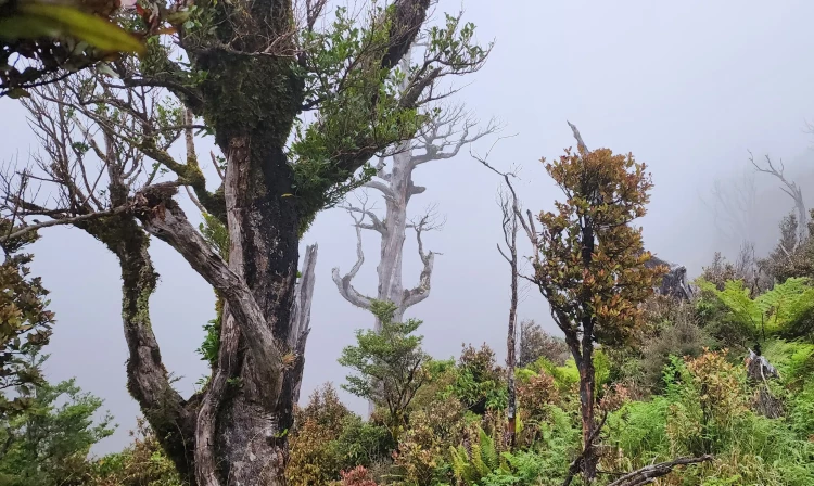
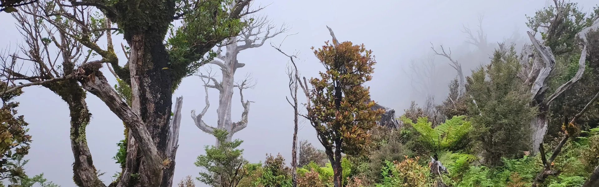
The Deerford Loop Track begins with a gentle walk across open farmland before descending into lush native bush. At first the terrain feels easy, but the looming Ngamoko Range ahead hints at the climb to come. Soon after entering the bush, the track reaches Makiekie (Coal) Creek, which you’ll cross before beginning a steady ascent through forest. At the first junction, follow the right-hand track. The climb becomes steeper here, but there are several scenic viewpoints along the way that make perfect spots to pause and enjoy the landscape. At the top of the loop, the track turns north and then west, linking briefly with Shorts Track before descending again. The descent is steep and uneven, with exposed roots, rocks, and fallen logs, so take care on the way down. Eventually, the track meets Knights Track beside Makiekie Creek, a peaceful place to stop and rest, or to take a short side trip to a hidden waterfall nearby. From here, cross the creek and follow the track back past the earlier junction, across the farmland, and up to the car park. The track starts from the end of Limestone Road, east of Apiti. Use this location on Google Maps to help find your way there.
Dogs with a DOC permit for recreational hunting or management purposes only.
Track information, access and weather can change. Confirm current alerts and land-manager information close to departure, tell someone your plans, and carry equipment appropriate for the route and conditions.