11 October 2026
Showers about the Divide, clearing in the evening, otherwise fine.
Loading outdoor place details…
St James Conservation Area
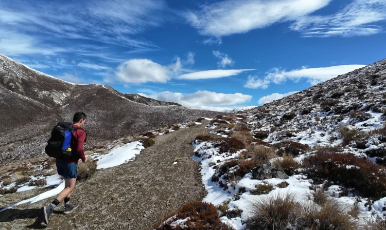
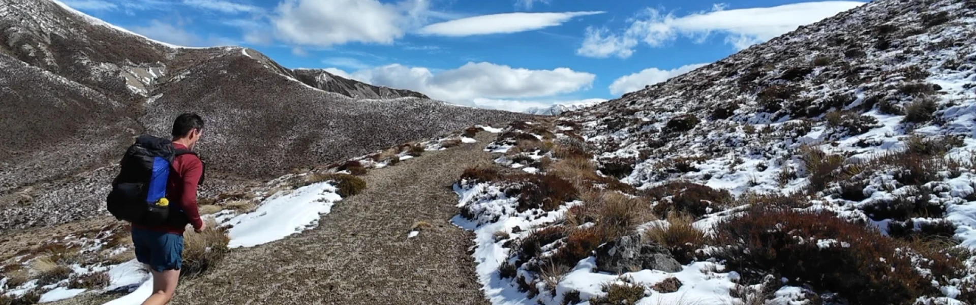
Fowlers Pass (1296 m) connects Tophouse Road with Stanley Vale and Lake Guyon huts in the St James Conservation Area.
Distance
16 km
Walking time
5 hr 30 min
Difficulty
Advanced
Dogs
Allowed — check local rules
Wheelchair access
Not marked friendly
Current status
Weather outlook
Issued 10 Oct 2026, 9:23 pm
11 October 2026
Showers about the Divide, clearing in the evening, otherwise fine.
12 October 2026
Fine.
13 October 2026
Partly cloudy with isolated showers.
14 October 2026
Rain, with heavy falls.
15 October 2026
Rain developing, with snow to 600 metres.
Regional guidance only; elevation and terrain can produce different conditions.
Explore the area
Explore the track route and surrounding area before you set out.
This marked track has river crossings, scree slopes and a variety of gradients. Note that particularly in winter, snow can make travel difficult and the area is prone to avalanches, and that avalanches can occur through spring and early summer. It is a shared use track. Fowlers Hut to Stanley Vale Hut Time: 4 hr Distance: 12 km Stanley Vale Hut to Lake Guyon Hut Time: 1 hr 30 min Distance: 4 km
From Hanmer Springs take Clarence Valley Road over Jacks Pass to connect with Tophouse Road (about 13 km from Hanmer Springs). This road follows the eastern boundary of St James Conservation Area. Use this location on Google Maps to help find your way there.
We encourage you to continue gaining the skills and knowledge required for a safe trip. The NZ Mountain Safety Council has lots of free resources and information you can use. These can be accessed via www.mountainsafety.org.nz . We recommend trying these online learning tools: Trip Planning Tramping / field Skills Basic Navigation River Safety Additionally, check out the range of helpful videos available from the NZ Mountain Safety Council YouTube channel
Dogs allowed. Keep dog under control at all times.
Track information, access and weather can change. Confirm current alerts and land-manager information close to departure, tell someone your plans, and carry equipment appropriate for the route and conditions.