10 October 2026
Cloudy with showers increasing mainly inland this afternoon, possibly heavy, becoming rain at night. Northeasterlies.
Loading outdoor place details…
Mount Richmond Forest Park
A day walk up the Hacket Creek valley to Hacket Hut. This track has been badly damaged – there are many slips, take great care.
Distance
11.4 km
Walking time
4 hr return
Difficulty
Advanced
Dogs
Allowed — check local rules
Wheelchair access
Not marked friendly
Current status
No active alerts found. Conditions can still change, so check again before leaving.
Weather outlook
Issued 10 Oct 2026, 4:55 pm
10 October 2026
Cloudy with showers increasing mainly inland this afternoon, possibly heavy, becoming rain at night. Northeasterlies.
11 October 2026
Rain at first, possibly heavy, then showers easing in the afternoon, clearing early evening. Northerlies, turning westerly in the afternoon.
12 October 2026
Fine, but becoming mostly cloudy with isolated showers in the evening. Northerlies developing for a time in the afternoon.
13 October 2026
Occasional rain clearing in the afternoon, then partly cloudy. Light winds.
14 October 2026
Occasional rain, with some heavy falls. Northerlies, turning westerly in the afternoon.
Regional guidance only; elevation and terrain can produce different conditions.
Explore the area
Explore the track route and surrounding area before you set out.
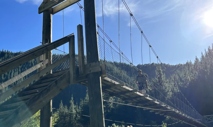
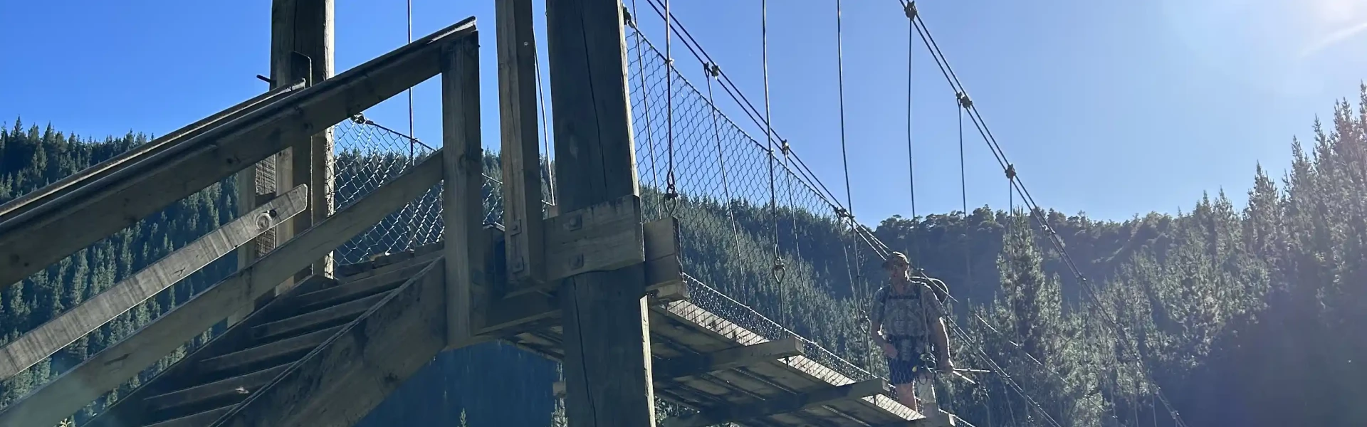
Hacket Track bridges Roding River at the car park and heads east up Hacket Valley, following the true right of Hacket Creek through pine forest. A suspension bridge crosses the creek and the road becomes a walking track, continuing on the true left through native bush and crossing into Mt Richmond Forest Park. From here until the Whispering Falls turnoff, the valley narrows and the track sidles the steep slope above the creek. Erosion is a serious issue along here; in places the creek has undercut the bank beneath the track, causing it to fall away to the creekbed a few metres below. Some parts are very narrow and there are limited places to go if you need pass others, so proceed with caution. Continue along Hacket Track. 30 minutes upstream, at the junction of the Browning Stream, a sign-posted track leads to Browning Hut. Walkers should continue on the right-hand track to Hacket Hut .
Toilets are available at the car park at the start of the Hacket Track, but not elsewhere along the track. There are many washouts, slips and a high risk of falling rocks There are many slips along Hacket Track and Whispering Falls Track. Slips are very common in this area and further slips and rockfalls are likely – if you are not comfortable with this risk, we recommend choosing a different track. Slips are marked with danger signs – move quickly but carefully through these sections and do not stop. Many sections of the track between the car park and the Whispering Falls turnoff have been washed out by extreme weather events. The ground is unstable and more track sections could collapse. Avoid the track during heavy rain Heavy rain makes slips more likely. We recommend avoiding the track completely if heavy rain is forecast.
Hacket Track begins at Hacket car park, in Aniseed Valley. From Richmond, head south along State Highway 6 and turn left onto Aniseed Valley Rd. Follow the road over Aniseed Hill, and then for a further 8 km up Aniseed Valley, until you see the DOC sign indicating the turnoff to the car park on the right. There are toilets at the car park and a bridge across Roding River, beneath which there is a great swimming hole to cool off in during summer. At the car park bridge you will find an information panel with a map and track details. Use this location on Google Maps to help find your way there.
We encourage you to continue gaining the skills and knowledge required for a safe trip. The NZ Mountain Safety Council has lots of free resources and information you can use. These can be accessed via www.mountainsafety.org.nz . We recommend trying these online learning tools: Trip Planning Tramping / field Skills Basic Navigation River Safety Additionally, check out the range of helpful videos available from the NZ Mountain Safety Council YouTube channel
Dogs with a DOC permit only. Contact closest DOC office to get a permit.
Track information, access and weather can change. Confirm current alerts and land-manager information close to departure, tell someone your plans, and carry equipment appropriate for the route and conditions.