10 October 2026
Cloud increasing, and light showers developing this evening.
Loading outdoor place details…
Fiordland National Park
Hump Ridge Track is a 3-day loop over sub-alpine tops and around rugged coastline in southern Fiordland. It opened as our 11th Great Walk on 25 October 2024.
Distance
61 km
Walking time
3 days/2 nights
Difficulty
Intermediate
Dogs
Not allowed
Wheelchair access
Not marked friendly
Current status
Weather outlook
Issued 10 Oct 2026, 7:33 am
10 October 2026
Cloud increasing, and light showers developing this evening.
11 October 2026
Showers, clearing in the afternoon but remaining cloudy with the odd shower lingering south of Secretary Island. Snow to 2100 metres in the north at first.
12 October 2026
Partly cloudy, with one or two morning showers south of Secretary Island.
13 October 2026
A few showers, turning to rain, with snow to 2100 metres.
14 October 2026
Showers, some possibly heavy. Snow lowering to 800 metres.
Regional guidance only; elevation and terrain can produce different conditions.
Explore the area
Explore the track route and surrounding area before you set out.
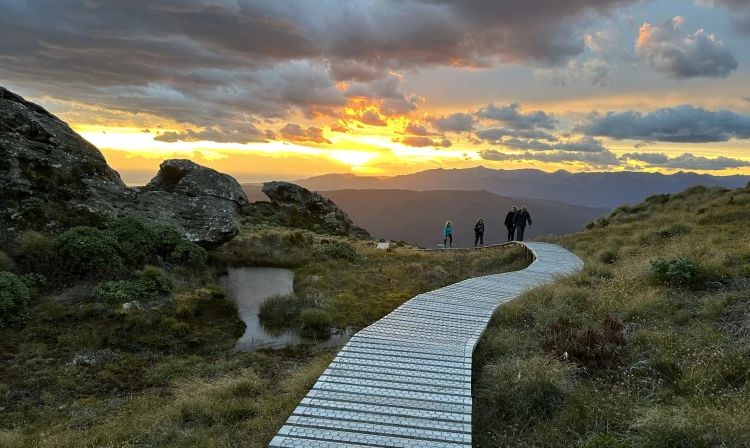
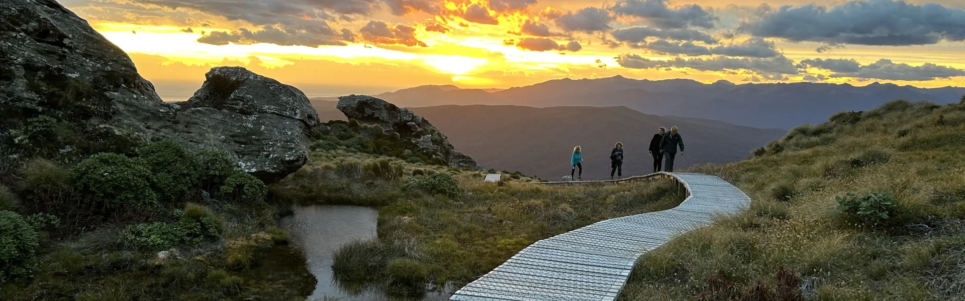
Track Transport leaves at 8.00am from Tuatapere to Rarakau. If taking your own vehicle we recommend the same departure time. From the Rarakau car park head back along the road for 200 m to the start of the track. Walk along cliff tops and descend to Bluecliffs Beach. Cross the swing bridge at the Waikoau River and onto Bluecliffs beach. Follow the beach for 2 km until you come to a rock cliff, where you head up the road to Track Burn which is the 6km mark. The trail meanders through native bush and across cliff tops before heading out along the magnificent sweep of Bluecliffs Beach where Hectors dolphins may be spotted in the surf. Reentering the bush, the track enters Fiordland National Park and climbs steadily toward Stag Point. Kākā and kākāriki can often be heard and sometimes seen in the forest here. Stag Point provides trampers with a stunning view out across Te Waewae Bay to Stewart Island. From here it is a short climb to reach the summit ridge and Okaka Lodge. The loop track which circles around the tors and tarns further up the ridge takes about 45 minutes and offers stunning views of southern Fiordland, the Waitutu Forest and the Southern Ocean. The entertaining alpine parrots, kea, are often present in this area.
Heading along the summit ridge, the track descends the Hump Ridge and spectacular views are available along the tops. The track eventually reenters the bush and towering rimu, miro, rata and totara trees provide a good example of the mixed beech/podocarp forest typical of the Waitutu area. Reaching sea level, pass through private Maori land before crossing historic wooden viaducts. Following the track of an old railway, reach Port Craig Lodge and explore the remnants of the old Port Craig sawmill town. A sheltered sandy bay is a five minute walk from the Lodge. Hector’s dolphins are frequent visitors here and occasionally a seal or penguin can be spotted basking on the breakwater.
The track winds through native bush and over a series of bluffs before crossing the magnificent Blowholes Beach. Follow the south coast, crossing another smaller beach before climbing back to the coastal terrace and past the Okaka track junction. Re-crossing Bluecliffs Beach, the track returns to Rarakau Car Park. Track transport departs Rarakau Car Park at 2.30pm for Tuatapere.
Booking and prior payment is essential for use of the lodges via the Tuatapere Hump Ridge Track (external site). DOC hut passes cannot be used for these lodges. Guests sleep in individual bunk beds, with 8 beds to a room. Lodges are gas-heated and have flush toilets and solar lighting throughout the complex. The lodges have fully equipped kitchens with cooking gas, crockery, cutlery, pans and utensils for trampers’ use. Both Lodges also have a licensed bar and shop. Free porridge and brown sugar is provided each morning at the Lodges.
Drive It’s possible to drive from Tuatapere to Rarakau, but the road is unsealed (gravel) in some parts with corrugations during high season, requiring you to keep your speed down. Use this location in Google Maps to find your way there. Private vehicles can be left at the Rarakau Carpark. The carpark area is on private land, is fenced and is overlooked by the farmhouse. $5 per vehicle koha or donation is appreciated. All vehicles are left at the owner's risk. Shuttle Track transport, in the Humpridge bus, is available from Tuatapere to the start of the Track at Rarakau (and back again). Track transport is available every day during the summer season. All transport must be booked and paid in advance. You can do this at the time of booking your walk. It costs $45 return per person which is included in the price for Guided Walks.
We encourage you to continue gaining the skills and knowledge required for a safe trip. The NZ Mountain Safety Council has lots of free resources and information you can use. These can be accessed via www.mountainsafety.org.nz . We recommend trying these online learning tools: Trip Planning Tramping / field Skills Basic Navigation River Safety Additionally, check out the range of helpful videos available from the NZ Mountain Safety Council YouTube channel .
Strong winds from the north, west and southerly directions are relatively commonplace with changeable conditions.
No dogs.
Track information, access and weather can change. Confirm current alerts and land-manager information close to departure, tell someone your plans, and carry equipment appropriate for the route and conditions.